The USACE Coastal Research Amphibius Buggy (CRAB) was one of the many OTF-RTK test platforms. Source: Steve DeLoach
When considering historically significant technology, it’s tempting to try to pinpoint one particular breakthrough that marks the start of a new era, but Real-Time Kinematic (RTK) revealed itself as a wave of innovation rather than a particular moment in time.
The wave formed from the convergence of ripples of software and hardware development and testing by geodesists, mathematicians and scientists from government, academic and commercial entities around the world.
Seeing significant potential benefits in marine and land surveying by leveraging a new constellation of satellites known as the Global Positioning System (GPS), these technology pioneers were pulling in a similar direction in the late 1980s and early 1990s to attain three-dimensional, centimeter-accurate kinematic positioning in real time, or RTK. This era also brought new GPS signals, the launch of more GPS satellites, and improved receiver development.
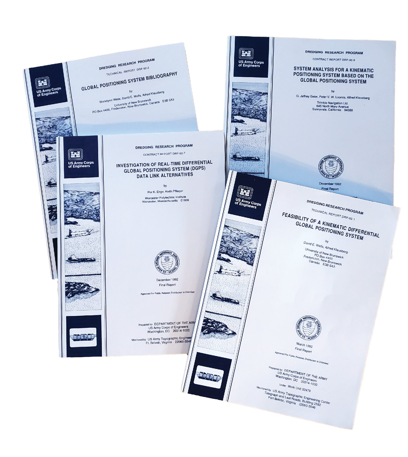
USACE Dredging Research Program RTK design reports. Source: Steve DeLoach
Although these pioneers pursued RTK to improve cumbersome and costly surveying techniques on land and water, they didn’t fully imagine the multitude of ways the technology would eventually change the world and make precise positioning available in a growing list of applications.
In this third article on the history of RTK, we focus on the most intense period of RTK development, a fast-paced and heady time when highly motivated individuals sought to solve integer ambiguities reliably so the system could work dynamically, or “on-the-fly” (OTF), a key that would unlock its full potential.
The push to create a working system
Before RTK, which processes in real time, users could do a continuous kinematic survey, logging raw observations from the satellites, and then go back to the office and process that data to get centimeter-accurate positions, said Mark Nichols, general manager at Trimble and one of the company’s early RTK development leaders. “This post-processing step would typically take several hours and generally required some form of static initialization. Sometimes there were so many cycle slips that you could not get a reliable answer.”
In the early 1990s, there were simultaneous efforts to develop algorithms to initialize the carrier integer ambiguities while in motion, identify and resolve cycle slips automatically, and develop the data formats for transmission from a base station to a computing station and formats for real-time processing. The naming conventions had not matured, and limited effort was going toward a full system integration.
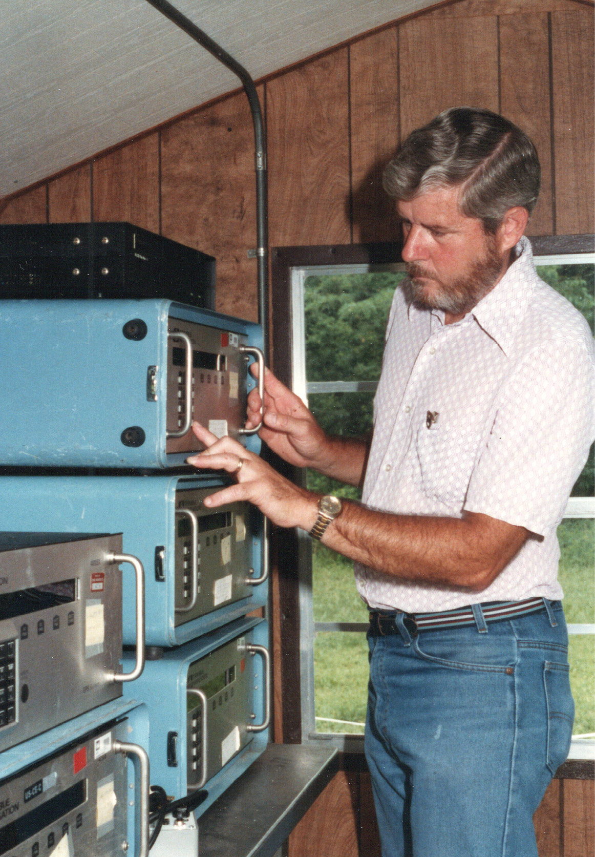
Dale Jarvis, senior geodetic technician for the Corps, provided important guidance for data campaigns for RTK development. Source: Steve DeLoach
The U.S. Army Corps of Engineers launched its high priority, multi-year project to develop a complete operational prototype RTK system in 1988 with the goal of vastly improving the economies, accuracies and timeliness of dredging and hydrographic surveying, in particular to benefit the $400 million annual maintenance of the nation’s waterways.
The Corps’ intent was to develop a prototype system that could be immediately put to work. “We wanted to demonstrate an operational system that could be interfaced to multiple hydrographic and dredging systems, run experiments for new applications and develop the geodesy to use GPS for tidal measurements on the survey boat,” said Steve DeLoach, a civil engineer and land surveyor who led the program for the U.S. Army Corps of Engineers. “Our goal was to prove the capability, to develop the OTF algorithms and data formats, and solve problems the industry had not yet recognized.”
When the program was done, the hope was that a market would be created, and industry would step in and create a more robust, reliable and operational toolset, DeLoach said. “What we were doing was developing, testing, publishing—unabashedly putting information out—and hoping the industry would pick it up, and they did. They rewrote it, changed it, commercialized it, and made it usable for everybody.”
OTF would open up the use of RTK for marine and machine control while also simplifying the use for surveyors, because it automated the initialization without the need for a point of beginning each time the receiver lost lock. It would also provide a data analysis and processing tool to continuously and automatically look for cycle slips, repair them and back-process the data for the correct solution—all automatically and processed without operator intervention. With the addition of data transmission between a reference station and the roving station, RTK could be realized in a robust way.
Corps sparks flurry of research and testing

Survey vessel Adams is ready to sail on an RTK test. Source: Steve DeLoach
To help understand the intricacies of every component of a system, and what other groups were doing, the Corps asked the University of New Brunswick, Canada, to conduct a feasibility study in 1988-1989 (described by authors David E. Wells and Alfred Kleusberg). The study found the concepts feasible, identified key components and determined that, at that time, no similar system or work was available.
The Corps then launched several efforts to examine the primary components for the hydrographic surveying and dredging case; a contract with Trimble to conduct a detailed system analysis (described by authors G. Jeffrey Geier, Peter V. W. Loomis and Alfred Kleusberg) a contract with Worcester Polytechnic Institute to investigate data link alternatives (described by Per K. Enge and Keith Pflieger) and a contract with the University of Maine to investigate the use of GPS to measure tides, by Alfred Leick and Quanjiang Liu.
In May 1991, Dr. Benjamin W. Remondi, a GPS technologist for the National Geodetic Survey (NGS) (see History of RTK – Part 2), coined the term “On-The-Fly (OTF)” following many months of trials and updates to his software to allow kinematically collected data to be processed without static initialization. The testing followed the idea of using GPS in non-OTF mode to verify OTF; after all, how else would you test a moving system with accuracy at the centimeter level?
Under the careful guidance of Dale Jarvis, senior geodetic technician for the Corps, many data campaigns were well underway in early 1990 with processing, analysis and revision on a continuous cycle. The data would be processed using kinematic techniques and require a static initialization to determine the true antenna trajectory, then reprocessed using the OTF algorithms removing any static initialization data.
Data campaigns were aggressive, vigorous and often. They ranged from Holloman Air Force Base’s high-speed sled track with its millimeter-level positioning system, to a Corps hydrographic survey vessel operating in the Chesapeake Bay, to a shopping cart (borrowed from a nearby grocery store) pushed around a paved course by a then-young engineer, Bryn Fosburgh, now Trimble’s senior vice president.
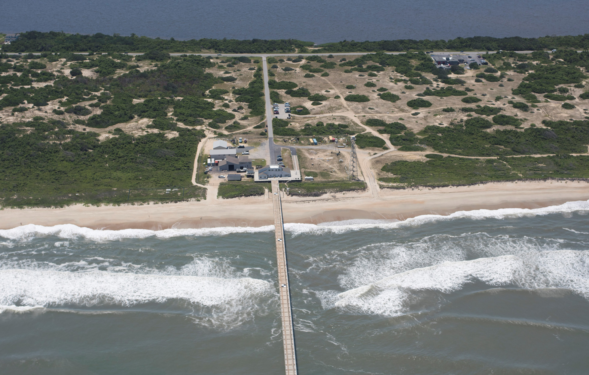
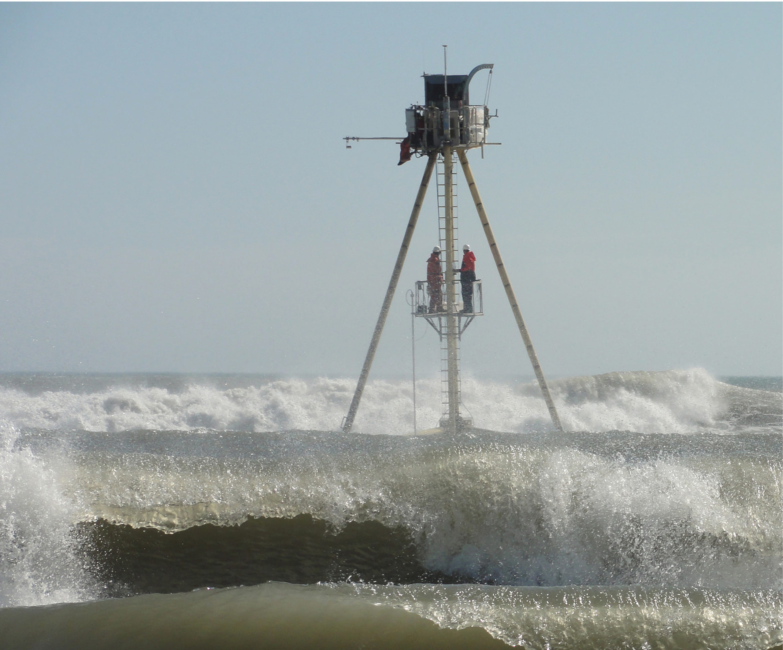
USACE Coastal and Hydraulics Laboratory Field Research Facility in Duck, N.C. Source: USACE
The Corps also surrounded Remondi with young physicists and computer scientists, including Rob Fischer and Jeff Walker, to ensure the latest algorithms and search techniques were quickly coded to align with Remondi’s analysis and thoughts. This work is described in “Decimeter Positioning for Dredging and Hydrographic Surveying,” by DeLoach and Remondi.
The Corps also worked hard to remain abreast of industry and academic progress. It advertised via a Request for Information, offering to pay for OTF solutions and design review of their systems’ design alternatives. The data collections and processing, with Remondi’s software, the academic studies and the design review all helped the Corps make development decisions that recognized what was occurring within the industry and academic world.
Only two entities responded to the RFI: Magnavox and the University of the Federal Armed Forces in Munich. At that time, Magnavox was not able to deliver operational software, although Dr. Ron Hatch—who had a 50-year career in satellite navigation systems with Johns Hopkins Applied Physics Laboratory and companies including Boeing, Magnavox and John Deere—proved to be a valuable colleague and thought leader on the subject, DeLoach said.
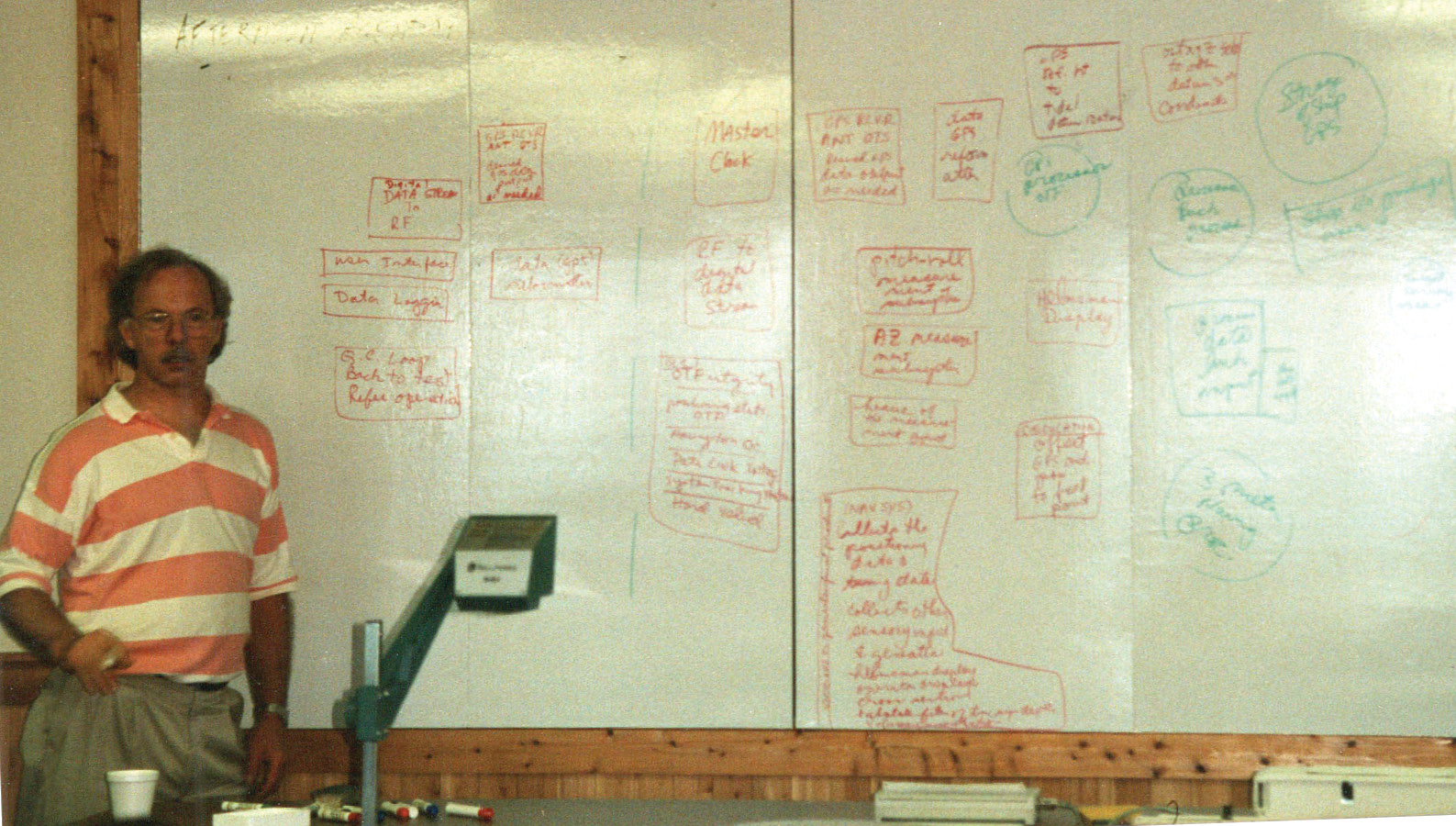
Benjamin Remondi at the white board at the USACE Field Research Facility in 1992. Source: Steve DeLoach
In 1991, Dr. Herbert Landau, now vice president of GNSS technology at Trimble, was heading a lab at the Institute for Earth Surveying and Navigation at the University of the Federal Armed Forces in Munich. Working under Dr. Günter W. Hein, Landau and Hans-Juergen Euler published “A System for Precise Real-Time Differential GPS Positioning in the Decimeter Range,” presented at the June 1991 Institute of Navigation annual meeting. It was based on six-channel low-cost C/A code receivers reaching accuracies in the decimeter range in real-time and in the centimeter range for post-mission. The receivers were controlled by separate processors, which were communicating via a radio link in the UHF band. This team presented OTF software and further design review comments to the Corps, under the RFI.
Project moves toward implementation

Richard Barker and Dariusz Lapucha, along with Kurt Maynard (foreground), aboard the USACE Survey Vessel Adams during prototype OTF-RTK system demonstration, circa 1993. Source: Steve DeLoach
By early 1991, the first phase of the Corps’ Dredging Research Program was complete and successful. It showed encouraging results from actual OTF data collection and testing campaigns; a complete system definition was in place; and the idea of using RTK GPS for tidal datum measurement on a survey vessel had been validated. During the summer of 1991, the team continued experimentation, now including a second OTF software from the University in Munich. This work led to Phase 2 of the project to develop proper guidance for the ultimate users and to define operational criteria in the marine environment. Remondi continued updating his algorithms with every test.
At the time, other researchers, including Hatch, also were making great progress. Dr. Peter Teunissen of Delft University of Technology, The Netherlands, was explaining how to improve the efficiency and reliability of integer searches. “His contributions were at the highest level,” Remondi said. “His ‘LAMBDA method’ was a breakthrough that achieved universal acclaim.”
Both Remondi and Hatch started with a doppler approach to OTF initialization, Remondi recalled. “It was not long before that was abandoned for a grid-like search for the ‘best’ integers. This worked very poorly at first because we had only single frequency receivers. Later, we added a weak second frequency (half cycle L2 data) and achieved improved results. At this point, many were skeptical about searching for integers. This was understandable as better GPS signals, and more GPS satellites were needed.”
Soon, the development of full-cycle L2 GPS receivers would make searches easier. “Fred Gloeckler (senior electrical engineer at the Corps) was an important contributor, as he was both brilliant and insightful,” Remondi said. “As our search methods were getting better and our optimism grew regarding better signals and more satellites, Steve contracted with John E. Chance to implement RTK for real.”
Trimble’s first commercial RTK system makes its debut
The Trimble 4000SSE receiver represented a major reduction in size and power consumption, and vastly improved dual frequency signal measurement. Source: Trimble
In 1991, Nick Talbot joined Trimble’s engineering team in Sunnyvale, California, after completing his doctoral thesis—“Real-Time High Precision GPS Positioning Concepts: Modelling, Processing and Results”—at RMIT University, Melbourne, Australia, which followed completion of his degree in surveying.
“I’d read many times with great interest Ben Remondi’s Ph.D. thesis,” Talbot said. “Ben developed theoretical techniques for post-processing GPS data to produce centimeter-level baseline vectors over long range. His research laid the groundwork for centimeter-level GPS positioning.”
 Although Remondi’s well-known thesis only dealt with static GPS data post-processing, he later published papers discussing the possibility of producing results in real time, Talbot notes.
During his early employment at Trimble, Talbot began working on the company’s first RTK product and was responsible for the algorithmic aspect of the development, together with Dr. Timo Allison, who had been with Trimble from the start and had developed the positioning engine in the very first Trimble GPS products. Allison was also responsible for signal tracking firmware. Other members of the RTK development team worked on GPS receiver data communications and the data collector communication interface.
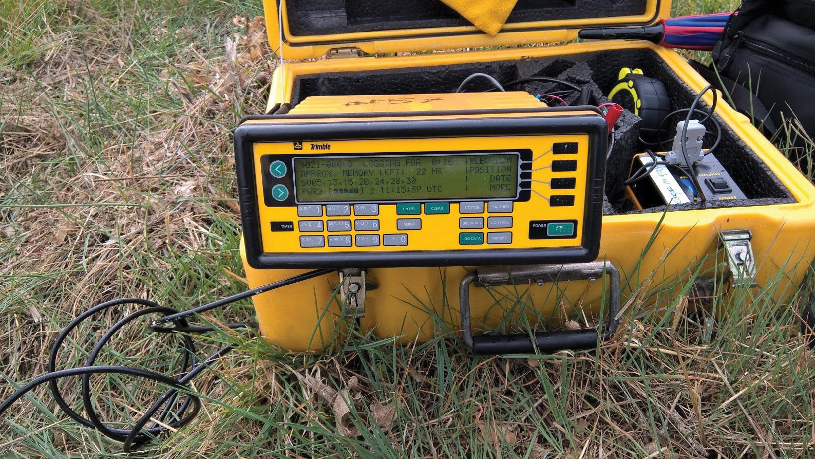
The resulting product, Trimble’s Site Surveyor RTK system, was based on the 4000SSE receiver. The 4000SSE receiver represented a major reduction in size and power consumption compared with earlier models, and this enabled it to be easily carried in a backpack. Importantly, the 4000SSE used a new digital signal processor, the Maxwell chip, that delivered high quality dual-frequency measurements that would become an enabler for robust OTF real-time kinematic.
Corps partners with JECA on final steps to working system
In the 1980s, marine positioning remained a tough, risky and expensive endeavor, which Kurt Maynard knew first-hand from his research and development role for John E. Chance & Associates (JECA), founded in 1957 by its namesake, a surveyor who had worked in the Texas oil industry.
“We used everything we could use, because positioning was not like it is today,” said Maynard, now of Trimble. During that era of oil-field navigation, the best positioning accuracy was several meters in real time. “You couldn’t go down the street and grab a survey point and start your survey.”
Maynard became part of the Corps’ RTK project when DeLoach hired JECA for its history of developing real-time, satellite-based positioning and communications systems and using those tools on board their own fleet of ships to support the Gulf of Mexico oil industry.
JECA initially relied on systems such as Loran-C or Raydist, which had limited accuracy, but was able to develop its own ‘GPS like’ system, Starfix, which was basically GPS on HBO satellites. JECA also owned the database for oil leases and pipeline locations in the Gulf of Mexico. “Any time an oil company wanted to drop an anchor or drill a well, they had to call JECA to provide positions for their ships,” DeLoach said, “and JECA designed and built Starfix for that purpose.”
This relationship between JECA and the Corps enabled both entities to innovate, Maynard said, because “they had things we needed, and we had things they needed, and we’d work together on different contracts.” The Corps was interested in Starfix because it was much better than land-based, line-of-sight positioning systems. And while Starfix didn’t have the potential of GPS for centimeter-level positioning, its designers (including Maynard) had the magic of transmitting data between land stations and ships and computing positions in real time, “and we needed that expertise on our team,” DeLoach said.
The Corps, in turn, “brought the algorithms to actually do the task of OTF-RTK with three-dimensional accuracies at the centimeter level,” Maynard said. But for the Corps, “it needed to be real time and it needed to be one program that ran on a laptop that could be used in the field.”
In addition, Gloeckler, who served as chair of the Radio Technical Commission for Maritime Services (RTCM) differential carrier phase working group, collaborated with Hatch, Hein and Remondi to develop the data standard for transmission of the signals from a base station to allow OTF-RTK to occur.
Research with JECA puts prototype over finish line
The movement of the post-processing versions of the software onto a real-time platform and interfacing the hardware components into a working prototype would be a significant challenge. In July 1992, the entire team from the Corps and JECA sequestered itself for a week in a conference room (on the beach) at the Corps Field Research Facility in Duck, N.C.
There, the team learned each other’s strengths and weakness, and who could design and build each component part. Team members also had to establish trust so they could exchange intellectual details of their contributions.
Another meeting soon followed at JECA’s facility in Lafayette, La., where Remondi, Dr. Dariusz Lapucha and Richard Barker revised the libraries and software for the prototype. Remondi and Lapucha worked for nearly a month in a closed room almost day and night converting the multitude of research software programs into something portable enough to use on a laptop to plug into a Trimble receiver to get RTK out of it, Maynard said. The Trimble receivers were used because the Corps already owned them for static geodetic work, and Ron Hyatt, an original member of Trimble’s executive team, had a hand-shake deal with DeLoach, providing the internal device code to the team—with nothing asked in return.
“Everybody wanted it,” Maynard said. “I think it was about a two-to three-month period to blend it into a working system. The working system consisted of a laptop computer, a Trimble 4000 receiver, and a radio communication link that would take the raw data from a base station to the user to be able to do real-time kinematic.”
Use of the system began sometime around March 1993 with demonstrations on the Corps’ survey vessels Adams in Norfolk, Gillette in Wilmington, and Hickson in Portland. These and many other tests—including important vertical accuracy checks on the Adams during a full tidal cycle—proved the system worked.
“The experience we have with the OTF system over the last few months has convinced us that we can obtain centimeter level accuracy in real time with current GPS receiver and computer hardware using the software developed for this project,” wrote the project team in “Results of Real-Time Testing of GPS Carrier Phase Ambiguity Resolution On-The-Fly” for the Institute of Navigation Satellite Division’s 6th International Technical Meeting in September of 1993.
“As soon as we had the prototype OTF-RTK system working we immediately began demonstrating the system on hydrographic survey boats,” DeLoach said, “and working on photogrammetric aircraft, an R&D project with Caterpillar, and working out the geodesy for real-time tides.”
Check out our next issue for History of RTK—Part 4
Link to part 1: https://amerisurv.com/2021/04/18/history-of-rtk-part-1-a-really-tough-problem-to-solve/
Link to part 2: https://amerisurv.com/2021/06/20/history-of-rtk-part-2-rtk-roots-run-deep/
Stacey Hartmann writes about surveying and geospatial topics for Trimble’s Geospatial division.