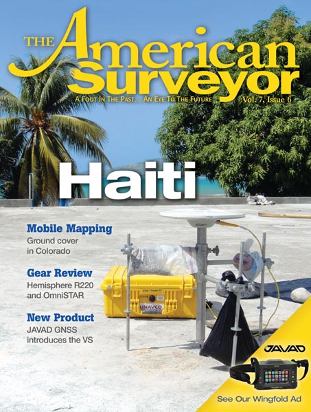
Table of Contents 235kb Editorial Corner: Maps as a Metaphor By Marc Cheves, LS 187kb Measuring a Caribbean Disaster GPS surveying…
Volume 7 Issue 6

FEATURES
Measuring a Caribbean Disaster
A 1.904Mb PDF of this article as it appeared in the magazine—complete with images—is available by clicking HERE
3D-Laser Scanning and Surveying Collide
A 2.051Mb PDF of this article as it appeared in the magazine—complete with images—is available by clicking HERE
Another Triumph!
A 1.470Mb PDF of this article as it appeared in the magazine—complete with images—is available by clicking HERE Our flickr pics of the…
Product Review: Hemisphere GPS R220
A 416Kb PDF of this article as it appeared in the magazine—complete with images—is available by clicking HERE
Comprehensive Collection
A 627Kb PDF of this article as it appeared in the magazine—complete with images—is available by clicking HERE
COLUMNS
From the Editor
Editorial: Maps as a Metaphor
A 187Kb PDF of this article as it appeared in the magazine—complete with images—is available by clicking HERE
Vantage Point
Vantage Point: "Just" What?
A 191Kb PDF of this article as it appeared in the magazine—complete with images—is available by clicking HERE
DEPARTMENTS
FeedBack
A 111Kb PDF of this article as it appeared in the magazine—complete with images—is available by clicking HERE