
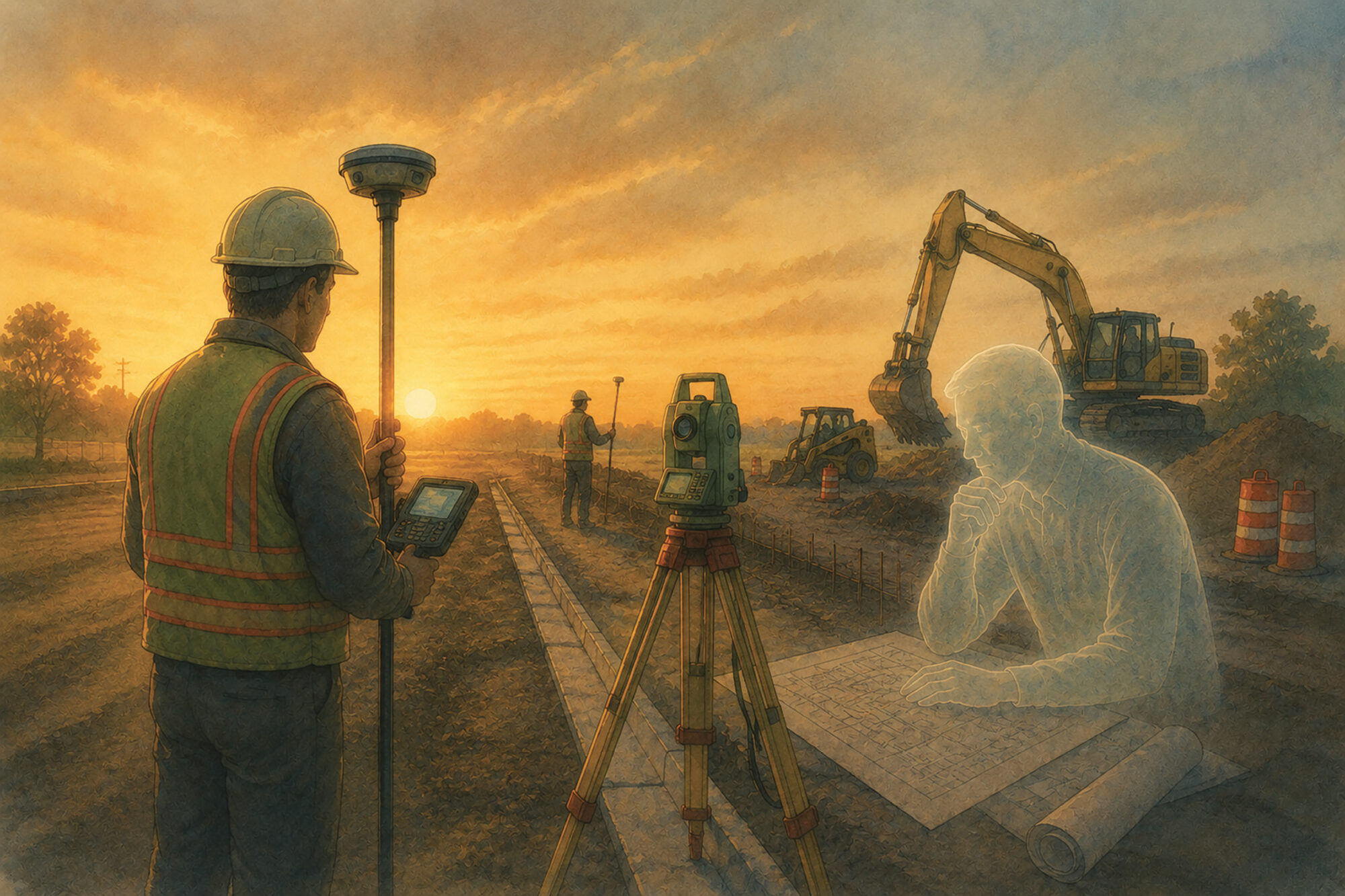
A surveyor occupies a control point at sunrise.
The coordinates arrive cleanly. The localization loads without protest. The rover settles into a fixed solution almost immediately, confidence values glowing green against the morning light.
Everything appears certain.
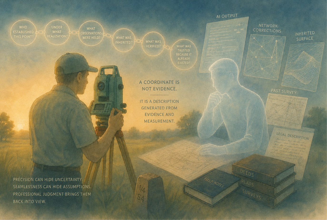
But somewhere beneath that certainty lives a chain of assumptions:
Who established this point?
Under what realization?
What observations were held?
What was inherited?
What was verified?
And perhaps most importantly — what was simply trusted because it already existed?
Modern surveying increasingly operates inside systems of inherited certainty.
Coordinates move from consultant to consultant. Surfaces evolve across years of revisions. Drone data merges with LiDAR. Network corrections stream invisibly from distant servers. AI systems summarize statutes, generate notes, and explain workflows in polished language that feels authoritative before we fully examine why.
None of these tools are inherently dangerous.
But every abstraction layer carries a hidden temptation:
to mistake continuity of output for continuity of understanding.
Early surveyors distrusted everything because they had to.
Chains stretched. Monuments vanished. Notes contradicted themselves. Entire sections wandered quietly across generations of retracement. Skepticism was not cynicism — it was survival.
Modern systems are vastly more precise.
But precision has a side effect:
it can hide uncertainty behind elegance.
A localization is not merely a mathematical operation. It is an act of professional judgment. It connects abstract geodetic space to physical reality through assumptions that may persist for decades after the original observations are forgotten.
Artificial intelligence presents a remarkably similar challenge.
AI can produce explanations so coherent that users may forget to ask where the reasoning originated. Large language models are trained to synthesize prevailing patterns across enormous bodies of information. They can reflect institutional consensus beautifully while quietly obscuring provenance, assumptions, and unresolved contradictions beneath the surface.
That does not make AI useless.
Quite the opposite.
It makes professional judgment more important than ever.
Professional judgment does not occur in ideal conditions.
It occurs late in the afternoon,
after field calls,
change orders,
contractor questions,
weather delays,
equipment issues,
and hours spent parsing layered legal descriptions written across generations of conveyance language.
Cognitive fatigue is real.
A four-page deed with nested exceptions, partial vacations, overlapping easements, and repeated transcription drift can quietly exhaust even experienced professionals. Under fatigue, humans begin compressing patterns automatically. Eyes skip language. Assumptions enter silently.
This is one of the places where artificial intelligence may become genuinely valuable.
AI systems can reorganize descriptions,
compare clauses,
surface inconsistencies,
trace repeated language,
and reduce the cognitive burden required to navigate complex records.
Used carefully, these tools may help professionals preserve attention for the parts of surveying that matter most:
judgment,
evidentiary weighting,
and responsibility for conclusions.
But even here, the same caution remains: a coherent interpretation is not the evidence itself.
That distinction matters because automation often becomes most persuasive precisely when it reduces friction. A process that once required hours of concentration may suddenly feel effortless. Conclusions arrive faster. Language becomes cleaner. Systems appear increasingly seamless.
Yet seamlessness can quietly obscure the assumptions moving beneath it.
The danger is not automation itself.
The danger is losing visibility into how conclusions were formed.
Surveyors have lived at this boundary for a very long time.
Long before artificial intelligence became a cultural phenomenon, surveyors were already working alongside machine perception:
robotic total stations,
GNSS ambiguity resolution,
network corrections,
surface models,
and probabilistic positioning systems that quietly interpret reality through layers of statistical inference.
Our instruments extend human perception.
They do not replace human responsibility.
And responsibility begins with remembering that measurements are evidence, not truth itself.
A coordinate is not evidence.
It is a description generated from evidence and measurement.
That distinction matters more than it first appears.
Coordinates often feel authoritative because they arrive wrapped in precision:
state plane values,
GNSS vectors,
surface models,
control databases,
machine guidance systems,
and long strings of decimal places that imply certainty through mathematical elegance.
But coordinates exist downstream from the survey process itself.
They inherit assumptions from:
monuments,
observations,
weighting,
datum realization,
network adjustments,
field procedures,
and ultimately professional judgment.
The coordinate is the result of the survey process.
It is not the survey itself.
Remembering that hierarchy explains why:
a disturbed monument may still carry evidentiary value,
a mathematically consistent dataset may still be wrong,
two highly precise systems may disagree,
and boundary determination cannot be reduced to computation alone.
Modern technology has dramatically expanded our ability to model reality.
But models remain interpretations of evidence — not replacements for it.
Boundaries are ultimately functions of law, reliance, history, and human consequence. Coordinates assist us in understanding those relationships, but they do not absolve us from the obligation to interpret carefully.
Perhaps that is the real challenge emerging before the profession now:
not whether our tools are becoming intelligent,
but whether we are remaining thoughtful enough to question the assumptions moving through them.
A profession does not preserve public trust through certainty alone.
It preserves trust through visible reasoning.
The future of surveying may depend less on how precisely we calculate, and more on whether we still remember how to ask:
How did this become true?
Because beautiful systems, like beautiful things, do not always ask for attention.
Sometimes they simply ask to be understood responsibly.


AI Usage Statement: Generative AI was used solely to assist with linguistic refinement and structural editing. The observations described are based on the author’s experience with a specific large language model and are not intended as a comparative evaluation or endorsement. For the reason why there’s an AI-generated snow leopard see Part 1.
J. Scott Graber, PS, is a second-generation surveyor and founder of OpenGround Research in Northwest Arkansas. His work bridges traditional boundary practice, forensic surveying, and the emerging ethics of AI-assisted analysis. He believes the profession’s future depends on remembering why we draw lines at all.