
I just got back from the Seven-State plus West Fed conference in sunny Las Vegas. Was it sunny? I don’t really know, I never left the hotel-casino for 4 days. It seemed nice on Saturday morning when I left the Horseshoe to fly home. This conference saw over 1300 attendees soaking up workshops and presentations and luncheons and hospitality suites, and vendors, vendors, and more vendors. My principal takeaway? Las Vegas is expensive now. Think there are still affordable buffets, dollar beers or a nice $3.99 steak and eggs breakfast to be had? Mr. Roarke has a message for you: Welcome to Fantasy Island.
I don’t want to come off as bitter or ungrateful — the educational opportunities at this conference were vast and first-rate. It was a great conference. Gary Kent and Kris Kline produced multiple days of valuable information and new ways to think about old problems. For me, the raison d’être was the all-day workshop put on by five PHDs from the National Geodetic Survey. Everything you ever wanted to know about the shape of the earth, and the development of the new horizontal and vertical datums, NATFR2022 and NAPGD2022, was explained clearly, concisely, and enthusiastically by a group of geodesists who clearly can feel that the end of their years of labor is finally in sight.
Well… maybe not everything. Two things that NGS is not in charge of will be bumping into NAPGD2022 like an iceberg into a Victorian ocean liner. The first is the patently obvious fact that cities across the nation have no budget to change their vertical datum by any means beyond applying a simple factor to their benchmarks. And how engaged are they in adopting the new vertical datum, anyway? The second is FEMA’s FIRM mapping. If the new datums roll out in early 2027, will FEMA be ready to roll out an entire nation’s worth of updated FIRM panels? I refer you back to Tattoo’s employer, Mr. Roarke.
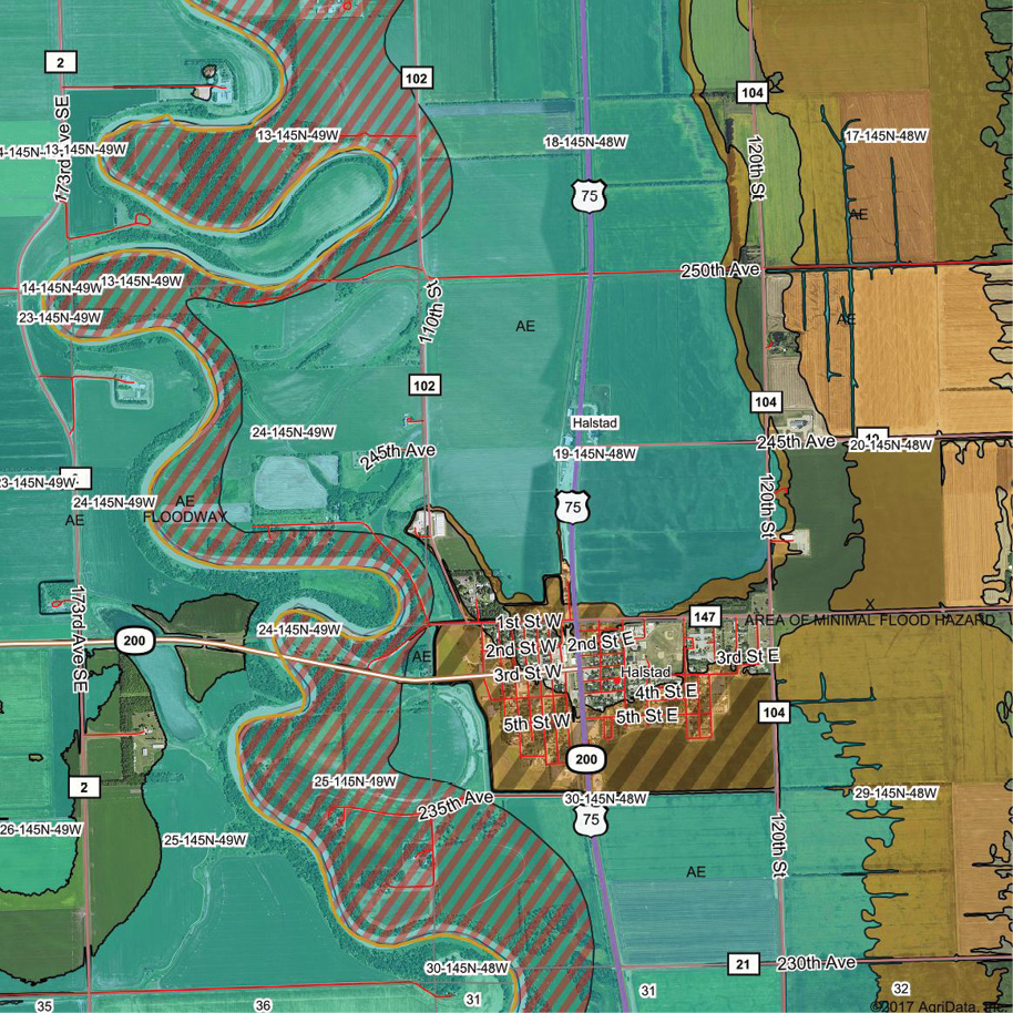
Now imagine a flood certificate you might be working on in mid-2027. The city of Oxburger Heights has not updated their vertical datum but at least they have published a memorandum indicating that one can subtract 0.852 meters from the published NAVD88 elevations to get to the NAPGD2022. Piece of cake. But the FIRM panel you need is still on the NAVD88 datum, which in all likelihood was the product of a mathematical conversion from the old NGVD29 datum in the first place. Those converted maps were kicked out by the thousands in the 1990’s and early 2000’s. Remember? Okay, now apply the same 0.852-meter subtraction to the FIRM elevations, so that you are comparing apples and (horse) apples on your survey. Remember: explain all this clearly on the Flood Certificate.
The updated flood certificate form, when it comes, should move away from ties to passive benchmarks in favor of GPS-derived heights, like the new datum itself has done. And anything FEMA can do to expedite the new FIRM panels will be greatly appreciated by the survey community. Unless the president does away with FEMA first. Weirder things have happened, (like two Fantasy Island references in a single column for instance).