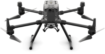
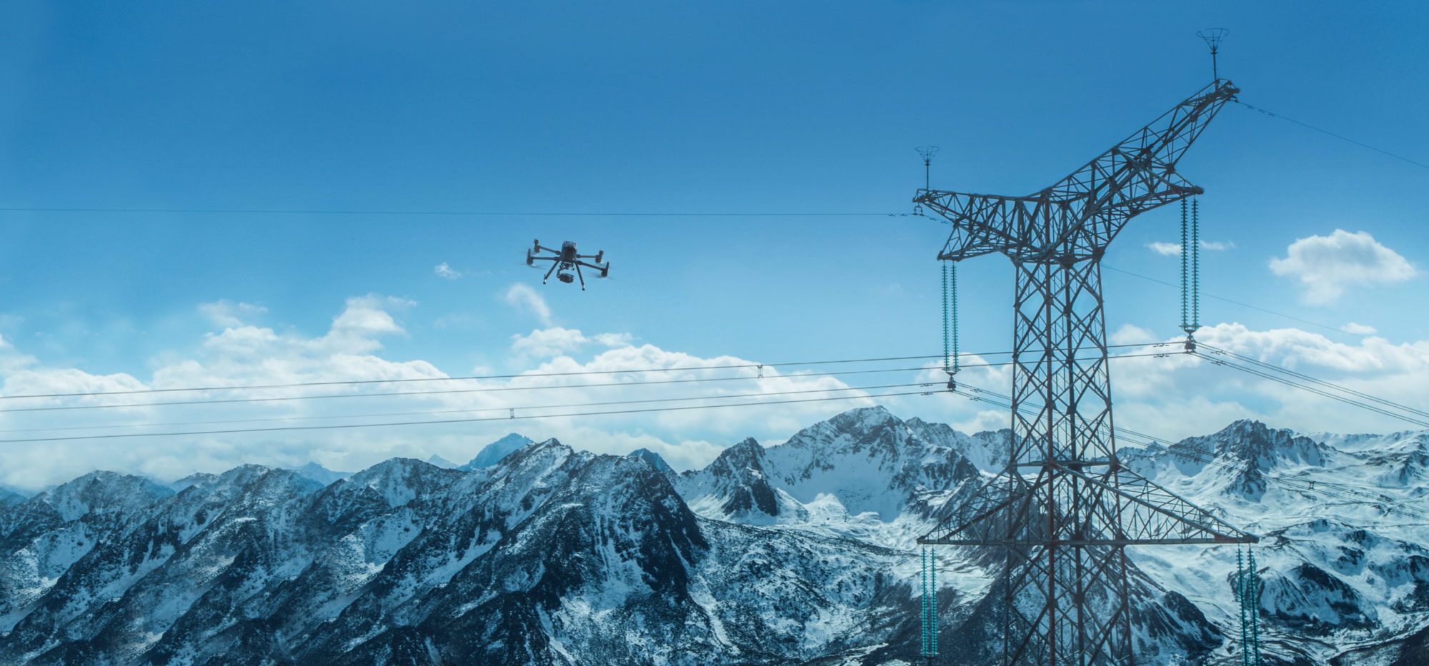
DJI’s M300 drone and Zenmuse P1 sensor will now be supported by Propeller’s powerful drone data collection processing software, allowing hundreds of acres to be surveyed in a fraction of the time, accurate within a fraction of an inch

Drone survey data and 3D site maps provide teams across the worksite a single source of truth to better plan, track, inspect, and work more safely and efficiently. Additionally, by facilitating quicker data collection, expanding coverage, and offering more real-time progress data, site managers can reduce labor costs and optimize available machinery.
To use the solution, surveyors place Propeller AeroPoints™ (smart ground control points) around the worksite, fly the M300 drone above to collect survey data and upload that data to Propeller’s cloud-based platform where it is completely processed within 24 hours.
The full solution will be available through Propeller’s channel partnership with Trimble®, the global leader in positioning technologies, and through its SITECH® distribution network as Trimble Stratus powered by Propeller, a 3D cloud-based visualization platform developed by Propeller which integrates with Trimble Connected Site® solutions.
About Propeller Aero
Propeller’s world-class drone analytics solutions help customers capture accurate surveys of their worksite so they can measure and track progress and make better/faster decisions around site management. We do this with a simple yet powerful end-to-end solution that gives construction professionals an easy, scalable way to collect, process, and analyze survey data. More than 4,000 customers across more than 22,600 worksites in heavy civil construction and resource operations trust Propeller to track site progress accurately with 3D visual tools that everyone in the organization can use. Distribution partnerships with industry leaders like Trimble and SITECH further empower Propeller to give teams the full picture, to go deeper, do more and work together better. Learn more about Propeller at www.propelleraero.com.
About DJI
DJI is a global leader in developing and manufacturing civilian drones and aerial imaging technology for personal and professional use. DJI was founded and is run by people with a passion for remote-controlled helicopters and experts in flight-control technology and camera stabilization. The company is dedicated to making aerial photography and filmmaking equipment and platforms more accessible, reliable, and easier to use for creators and innovators around the world. DJI’s global operations currently span across the Americas, Europe, and Asia, and its revolutionary products and solutions have been chosen by customers in over 100 countries for applications in filmmaking, construction, inspection, emergency response, agriculture, conservation, and many other industries.
