
Now, I’m sure the concept of “the virtual city” conjures up every post-apocalyptic vision of demented cyborgs and doom that Hollywood has ever warped into film and folklore. Let’s get beyond the boogieman and reduce our fractions to the least common 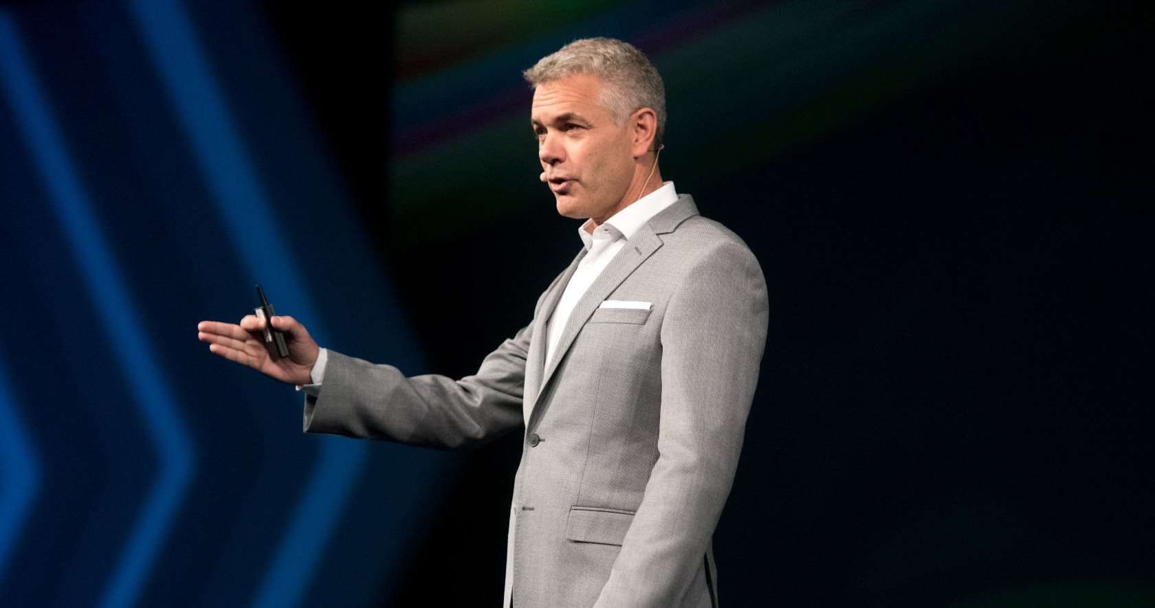
Thus far we have seen individual cobblers, blacksmiths, and plowmen uniquely dabbling in the technologies producing nifty little processes and gadgetry that “could do” thus and such and so on…but only as far as each hand could reach. HxGN is an amalgamation of many seemingly autonomous technologies organically made up of the same properties that I’ll call “data genetics”. Every undertaking of most anything we do needs to procure, measure, count, analyze, and adjust in order to continue. The core DNA of most any endeavor is the same whether we’re talking about the simple maintenance of your backyard flower bed, or the complexity behind the logistics of replacing a circuit board shipped from Kyoto to your airplane laid over in Oslo, so that the airline can safely get you back to Wapakoneta to water those flowers. HxGN is harnessing this DNA through an alchemy of technologies, platforms, and connectivity by developing cohesive virtual operating models united by a new implementation introduced by HxGN’s CEO Ola Rollen as “Xalt” (pronounced like “exalt”).
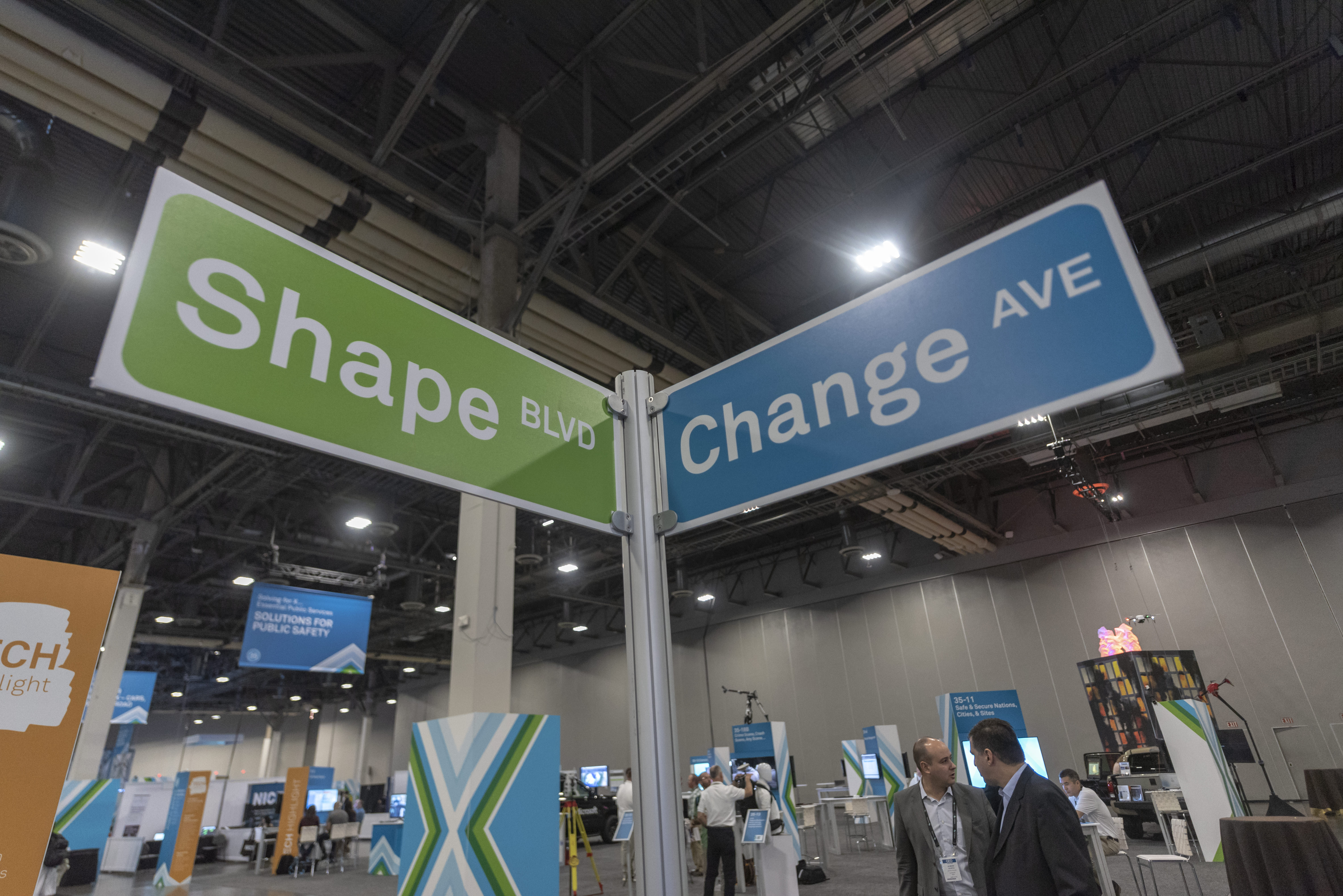
Okay, back to the expo itself. The event program track was channelized into the diversely related “verticals” of Geospatial, Geosystems, Manufacturing Intelligence, Mining, PPM, Safety & Infrastructure, and Catavolt Summit. Two verticals that might seem a bit foreign to the guys and gals of Geospatial are PPM and Catavolt. PPM (Process, Power, and Marine) is described by HxGN as transforming unstructured information into smart digital assets, empowering clients to visualize, build, and manage structures and facilities of all complexities, ensuring safe and efficient operation throughout the entire life cycle. HxGN describes Catavolt as an integral component of Xalt connecting every aspect of your field operations through custom apps producing daily reporting, time planning, material requisitions, and asset management that orchestrate seamless visibility and actionable paperless workflows.
Currently we are inundated with an abundance of data capturing possibilities. We also share the world with folks that still own flip phones and pencils. Let’s face it, folks that never tasted 4G service don’t know what they are missing, right? Think of us as farmers. Our produce just happens to be data in a virtual world. Currently our data yield far exceeds consumption to the extent that the milk is being dumped in the fields and the corn is tilled back under. We have awesome tractors, we have vast fields, we have an abundance of seeds, we have new trucks, and we have a malnourished if not starving population. HxGN is investing in the fuel and market stand to get our produce to the people. That’s the next giant leap for mankind.
An underlying theme of HxGN 2018 was that disruption in life causes positive changes in society. The ensuing question is will you be the disrupted or the disruptor? For example, Netflix was started by a guy that was raked over the coals for returning an overdue video to Blockbuster. Reed Hastings turned a $40 dollar debt into a ka-zillion dollar streaming video service and marched old Blockbuster right down into the tar pits. In our end of the spectrum our services are generally the result of someone else’s disruption, so the surveying, mapping and scanning service providers have been in this loop for, well, forever, right? Nothing new to the rope stretchers and cartographers but our sibling and counterpart industries of HxGN have great opportunities to leverage disruption into solutions. HxGN has incorporated our contemporary measurement solutions industry wide across many platforms. Just about anything that needs measuring can be done with scanning, lidar, imaging, and GPS. Industry is embracing this technology very rapidly. So perhaps our disruptive influence is the technology itself? I’ll give all of you rope stretchers a hint. 
Ironically at one of the keynote Q&A’s there must have been a surveyor in the crowd. The question was some rant about “Surveying is dying. How are we going to draw kids to the surveying field?” I thought “Let’s give the kids a mobile lidar so they can follow your happy ass down to the tar pits and map your path to extinction in our digital city”. Don’t worry, the kids are actually bright enough to avoid the hot bubbling tar.
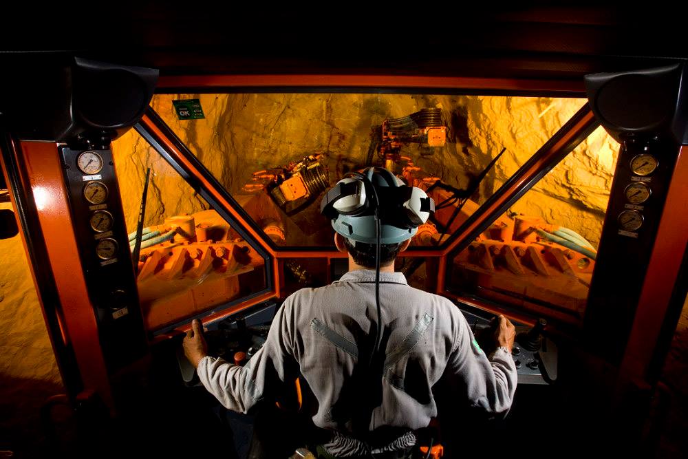
Speaking of surveyors, there were plenty of them at HxGN 2018. I was able to catch several fantastic presentations embracing these emerging technologies. These are real world success stories from real world folks that drive beat up work trucks, wear hard hats, vests, and boots. Seventy miles of highway was mapped and delivered in three months. I’m not talking about I-40 through Kansas. This was a previously unmapped canopy covered historic coal road through the mountains of West Virginia. Tough and beautiful country! The bad news is now the DOT is going to expect that level of productivity on every job. The good news is the technology, people and processes are ready for next project, so easy peasy and really cheesy! Another presentation focused on laser scanning and modeling a roller coaster construction project. Coasters are intricate to construct. The metric for success is measured in G forces and some sort of ride roughness coefficient. Combining digital plans with real time as-builts and actual ride sensor data enabled the team to make track adjustments while the construction crew was on sight. Yes, the surveyor was running the measurement show here and part of the solutions team. Interestingly enough, the surveyor was able to correlate “in-progress” scans with plan data and offer the contractor a crystal ball of how his next pieces were going to fit. Adjustments and retro fits were easily made on the ground before jockeying any steel in the air with the crane. That’s “nothing but net” in terms of time, material, and safety! Hey kids, show of hands. Who wants to work in Disneyland or Six Flags building roller coasters when you grow up? Me, me, me, pick me mister!!! I thought so…have you kids learned about how the dinosaurs fell into the La Brea tar pits and became extinct…
HxGN is making the investment in the future of society. We are part of this evolution and have every opportunity to embrace disruption as well as guide the course of history through our awareness of the world around us. Developing our profession with this evolution will naturally yield relevant professionals. Feel free to contact me at rls43185@gmail.com.
Jason Foose is the County Surveyor of Mohave County Arizona. He originally hails from the Connecticut Western Reserve Township 3, range XIV West of Ellicott’s Line Surveyed in 1785 but now resides in Township 21 North, Range 17 West of the Gila & Salt River Base Line and Meridian.