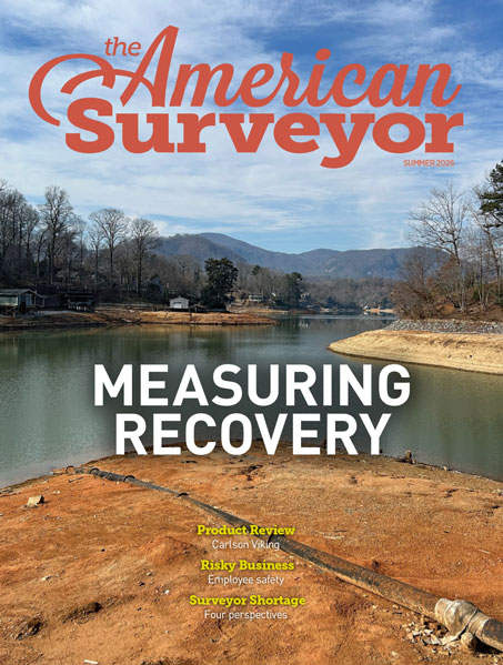
A 227Kb PDF of this article as it appeared in the magazine—complete with images—is available by clicking HERE
Author: Amerisurv-Editor
12.23.2012
The Tepusquet Boundary Survey—Part 2
A 2.359Mb PDF of this article as it appeared in the magazine—complete with images—is available by clicking HERE
12.23.2012
Beyond the Boundary: A Strong Foundation
A 1.355Mb PDF of this article as it appeared in the magazine—complete with images—is available by clicking HERE
12.23.2012
Footsteps: Avienda San Juan Partnership vs. the City of San Clemente
A 299Kb PDF of this article as it appeared in the magazine—complete with images—is available by clicking HERE
12.23.2012
GIS: Just a Tool: Myth #4: Getting Historic Surveying Information into a GIS Takes Too Long
A 154Kb PDF of this article as it appeared in the magazine—complete with images—is available by clicking HERE
12.23.2012
Record Title: Part 3—Chain-Of-Title Problems
A 132Kb PDF of this article as it appeared in the magazine—complete with images—is available by clicking HERE
12.23.2012
Geospatially Measuring & Modeling an Israeli Archeology Site Nearly 2,500 Years Old
A 1.642Mb PDF of this article as it appeared in the magazine—complete with images—is available by clicking HERE
12.23.2012
Vantage Point: Zoned Out
A 378Kb PDF of this article as it appeared in the magazine—complete with images—is available by clicking HERE
12.22.2012
FCC Won't Enforce Build-Out Requirements on LightSquared
First deadline for coverage with wireless network FCC won’t allow it to operate was Dec. 31
12.21.2012
Corvallis Microtechnology Releases Farming GPS GIS App
December 20, 2012, Oregon, USA – CMTINC.COM announces the release of the Farming GPS GIS software application for the Apple iPad. During the…