I love the small computer that fits in my pocket. With my smartphone I can conduct hands-free calls, check my calendar to avoid scheduling conflicts, catch up on email between meetings, pay a parking meter from two blocks away. The technology is amazing.
This is not to say that new ways are always the best. One big problem with cell phones is that they don’t make a satisfyingly loud and solid bang when I hang up angrily. There definitely was an advantage to those old-fashioned heavy land line phones. The same “old is not always bad” adage applies to surveying.
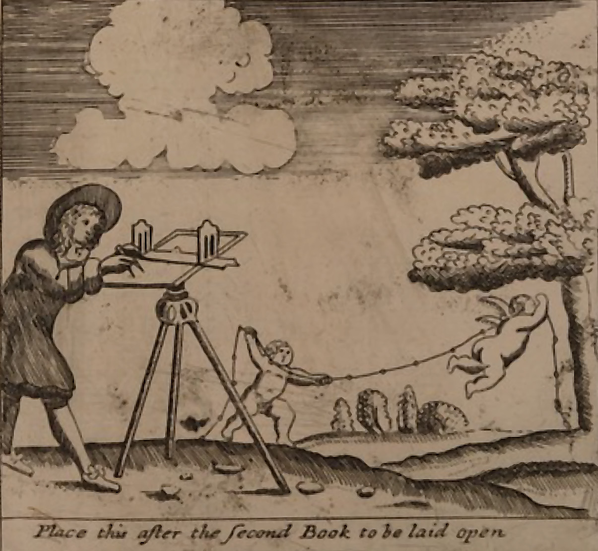
The illustration accompanying this article is from a 1722 edition of William Leybourne’s textbook, “The Compleat Surveyor”1, originally published in 1653. The surveyor employs a plane table, alidade, and chain, with a crew of cherubs to help map the lay of the land. (I wish I could have had such celestial assistance on some particularly tough days in the field.) These instruments are considered “dumb” by today’s standards as they do not have any of the “smart” aspects of modern tools. Beyond equipment being kept in good condition, it was the “smarts” of the person utilizing those tools that influenced the quality of the work.
The accuracy of many old maps seems remarkable considering the use of what we now consider unsophisticated tools and methodologies. But a well-trained surveyor understood how the equipment functioned best (like training those tiny cherubs to apply proper tension when stretching the chain) and knew how to perform a wide range of calculations by hand. We must still understand our equipment thoroughly and be able to verify results proffered by computer programs. If tools don’t perform as expected or break or the battery dies, “old fashioned” ways might save us.
I don’t even remotely suggest we return to old methodologies on a regular basis. My own days of squinting to read verniers on a theodolite for horizontal and vertical angles are thankfully long over, along with the inverted image and sagging spider silk that formed crosshairs. (Some of my early training was on the oldest equipment in the closet.) But I learned a lot about checking instrumentation and assessing best procedures depending upon the equipment available. We should be familiar with both limits and best care of whatever it is we might be using. Then we can train our cherub and human crews properly.
Before the advent of data collectors, my early days in the field involved a lot of manual computations. Small easily carried calculators were still a few years away. My mentor/party chief had me break down leveling notes and our traverses and resections by hand. Then he had me check my work using a different approach from my initial computations. By today’s standards, this was all “dumb” methodology: no “smart” tools except our brains. Now a trained data skeptic, I test everything before trusting it.
In a previous article, I described misadventures while asking ChatGPT to help update my professional biography (“Taming the Glorious AI,” August 2024). Later experiments with upgrades to that program and several other AI chatbots indicate improvements, to the point that I occasionally use them to generate ideas or outlines. Then I fact check, expand on what ideas may been generated, and do all the writing myself. And I still do it all in “temporary” mode so potential junk responses AI gives me won’t be circulated back into the web. In our high-tech world, old fashioned methods still serve us well. AI still hallucinates, still plagiarizes without citing sources, still provides answers it thinks we want rather than more truthfully or ethically, all at remarkable speed.
Scanning is a fantastic advancement in our data capture capabilities. Proper use requires knowledge beyond my basic understanding of the importance of setup positions, cloud registration and alignment, and “noise” removal. The experts know how to do proper calibration and checking and know if the results they see make sense. That’s not to say I trust them blindly. If I’m to contract for scanning services, my familiarity with the “basics” must keep up with their evolution. Ground-truthing checks with traditional methods also work. I caught errors in a photogrammetric survey that way, no cherubs required.
True story: I know a surveyor who jumped on GPS when it first became commercially available but didn’t realize he was supposed to post-process the collected data. Don’t be that guy with potential skeletons in the closet. We are licensed to protect the welfare of the lay public and regulated to practice only within our expertise. Do the old-fashioned thing: get training and read more than just the instruction manual.
- 1. https://iiif.wellcomecollection.org/pdf/b30410228 accessed 5/26/2026. (The image accompanying this article appears at the end of “The Second Book,” on page 80 of 473 in this free downloadable version.)