Hey there, y’all, it’s me, Lancer Vang, and I’m back with more books from my dusty bookshelf. Let’s talk about maps… and mapmaking… and mapmakers. Or more specifically, let’s talk about books about maps, mapmaking, mapmakers, and map stealers, too while we are at it. This is very fertile ground, there are a lot of weighty tomes on these topics, and yeah, I got ‘em all, or most of them anyway.
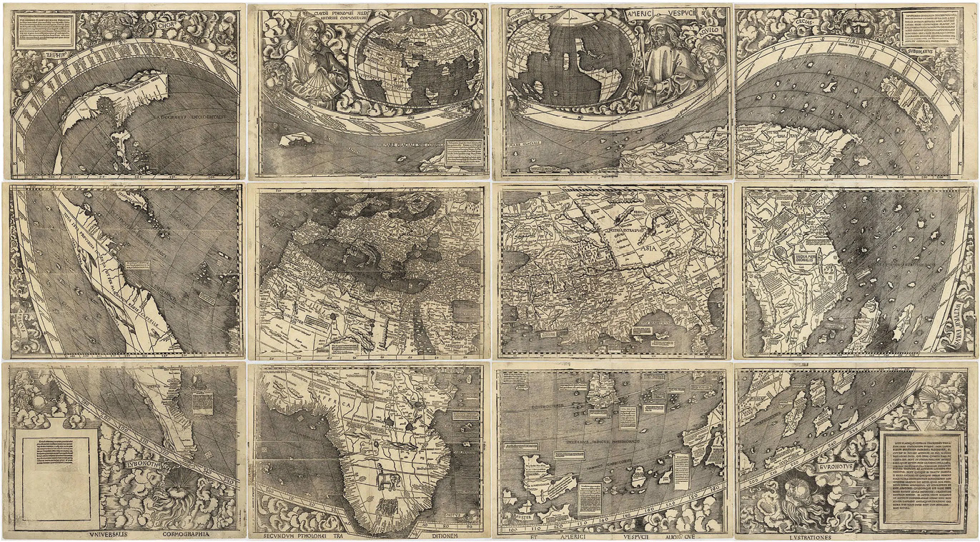
Waldseemüller map.
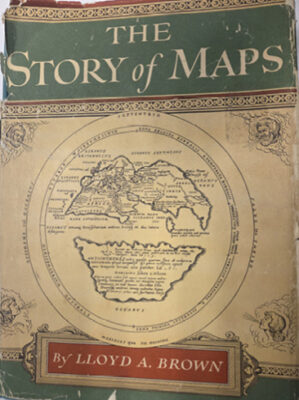 Where to start? This is not a linear journey, so be prepared to double back and do a loop-de-loop once or twice. First up: The Story of Maps by Lloyd A. Brown. Published in 1949 by Bonanza Books. Dear Lloyd starts with the Greek polymath Strabo in 25 B.C. and walks us through the early cartography that Strabo was developing from those he called his “ancients”( like Anaximenes and Erathosthenes who already knew the Earth was a sphere 300 years previously), through the Middle Ages, the origin of sea charts, working out the latitude problem (ho hum – break out the sextant) working out Longitude (John Harrison’s marine chronometer put ‘paid’ to that problem), to surveying and mapping France in the 17th century and finally to surveying and mapping the world in the 19th and early 20th centuries. That this book was written before the advent of GPS or the electronic distance meter, means that nautical chart making, astronomy and triangulation are given their due consideration. This story has been rewritten many times in the years since by other ambitious authors, but none are better done, or better illustrated. Hard to find, but worth the effort!
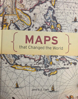 Next up: Maps that Changed the World, by John O.E. Clark, published by Pavillion Books Group Ltd. This book takes us on a journey not unlike Lloyd Brown’s The Story of Maps but takes some interesting turns right out of the starting gate. The book is full of beautiful color reproductions of many of the maps being discussed, including a Babylonian Clay tablet that, at 4000 years old, might be the oldest map ever found. Clark takes us through ancient Chinese maps, Norse maps, Islamic maps, and Greek maps. He spans Ptolemy to the Renaissance and breaks into the Age of Enlightenment by showing us maps by Edmund Halley (of ‘comet’ fame) and Alexander Von Humboldt.
Clark shows us military maps and the origin of city panorama maps (every city has one…). Fine examples of city panorama maps are included for New Orleans, New York, and San Francisco. There is a gatefold illustration of Martin Waldseemuller’s 1507 map of the world, the first to show the western hemisphere. Though not terribly accurate, it was certainly groundbreaking! The book includes the first examples of topographic maps, and touches on statistical maps and political maps, and then end on maps as fantasy, with Atlantis, Avalon and Middle Earth all getting some mapping exposure.
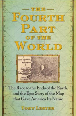 Speaking of the Waldseemüller map, The Fourth Part of the World by Toby Lester, published in 2009 by Free Press, a division of Simon and Schuster, focuses on the story of this map, the man who drafted it, and what it meant in the larger context of understanding the rapidly expanding world. This map, based on the possibly fictitious explorations of Amerigo Vespucci, gave our continents in the western hemisphere their name. The Waldseemüller map called this mysterious place “America.” It was made a mere fifteen years after Columbus’s epic first journey and was produced in Germany where the mapmaker had access to the relatively new technology of printing presses. The map was intended to accompany a treatise on world geography. Over a thousand copies of the map were supposed to have been printed, but as it became obsolete over time, the copies fell out of use and disappeared until one single copy was discovered in 1901 in a German castle by a Jesuit priest whose hobby was hunting for maps and books related to Viking exploration. The first map to show the western hemisphere was eventually bought by the Library of Congress for ten million dollars (five times the price paid for an original copy of the Declaration of Independence). This book encompasses the exploration of the world, the mapping of the known ‘three parts of the world (Europe, Asia, and Africa) and the increasingly sophisticated mapping that came about after the Waldseemüller map. It is a detective story, a treatise on map projections, navigation, exploration and is fascinating from beginning to end.
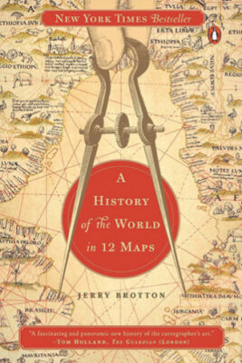 We may as well go for the trifecta here by next including A History of the World in 12 Maps by Jerry Brotton, published in 2012 by Viking Books. Brotton starts where they all start, with Ptolemy and takes us through Muslim maps, world maps before Columbus sailed the ocean blue, the… wait for it… Waldseemüller map, and maps after more exploration of the earth together with more thought on map projections, including maps by Ribiero and Mercator. Brotton takes us through the Medieval and Enlightenment politics of maps (knowledge is power) through map projections all the way to Google Earth. In his conclusion, Brotton offers, “…the book has also shown that no world map, is, or can be, a definitive, transparent depiction of its subject that offers a disembodied eye onto the world. Each one is a continual negotiation between its makers and users, as their understanding of the world changes.” The ultimate point of this book, I think, is that all maps end up being political; that is to say, they present the world in a way that supports the beliefs of the map maker. Because of that, no map of the world can be completely accurate. Brotton concludes with this: “the paradox is that we can never know the world without a map, nor definitively represent it with one.” Well said.
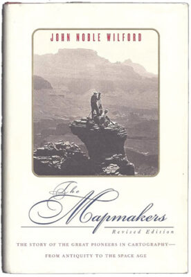 I would be remiss to not mention The Mapmakers by John Noble Wilford, originally written in 1981 but revised and published in 2001 by Second Vintage Books. This book, like many of the others, starts with the Greeks, hits on Columbus and Mercator and the survey of France, and John Harrison’s timepiece that made computing accurate longitude possible. Just the chapter names alone in Part Two should make you want to pick this book up, Surveyors of Sea and Shore, Soldiers Pundits and the India Survey, Mapping America: The Boundary Makers, Mapping America: Westward the Topographers, and Meters, Meridians, and a New World Map. Then Wilford starts dragging technology into the discussion in Parts Three and Four, discussing using radar to map in the Amazon, mapping the Antarctic below the ice, mapping the ocean floor, geodesy from space and wraps the book up with talking about mapping the Moon and Mars. Wilford, who passed away in 2025, was a Pulitzer Prize winning (twice) science correspondent for the New York Times and really knows how to dig into his subject matter. This is my favorite of the bunch!
Let’s dial it down a little and stick to our own continent for a couple of well-composed stories. And just to make it more interesting, I’m going to switch from map makers, geographers, scientists, et al, to map collectors. Or more specifically, map stealers, building their precious collections through nefarious methods. Luckily for us, there are at least two books out there, written in the last few years, dealing with crimes against mapping history.
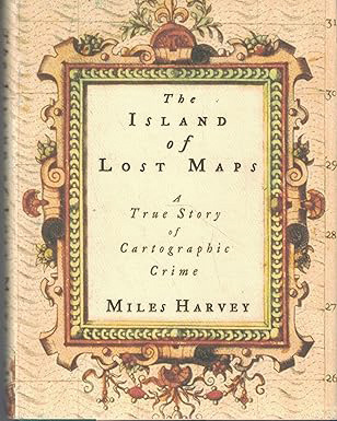 The Island of Lost Maps by Miles Harvey, published in 2000 by Random House, follows an antiques dealer from Florida named Gilbert Bland, Jr, who visited prominent research libraries in the US and Canada in the eighties and nineties and stole irreplaceable historic maps, some cut right out of antique books curated at the libraries he visited. His incomprehensible crime spree may date back even further, no one knows when he started, how many maps he stole, or even the reasons why he did it. He was finally caught in the last months of 1995. The author, starting out with a rote investigative reporting assignment, ended up delving into Bland’s strange life, while also documenting the anger and heartbreak of the librarians from whom Bland stole map after map. The book uncovers and reveals information about the market for collectible maps as well.
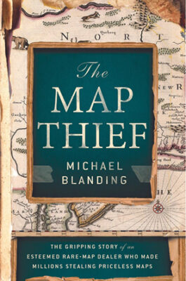 And related to this story, at least by subject matter, is The Map Thief by Michael Blanding, published in 2014 by Avery Books. This book offers the story of an antiquarian map dealer, E. Forbes Smiley, who led a double life because he was also a daring and compulsive map thief. Like Bland, Smiley visited the source of rare maps, donned the white gloves of the careful researcher and then… stole the maps right from under the noses of librarians and curators. Smiley was finally caught and arrested cutting maps out of rare books in the Yale University library. The author was able to interview Smiley directly and while Smiley swears that he has confessed to all of the crimes he committed, the libraries that the author visited point out that hundreds more maps are missing. Taken together, Bland and Smiley represent what happens when your obsessions get the best of you.
I wouldn’t read those last two back-to-back, lest you lose all hope! Happy Reading!