Three announcements at INTERGEO 2026 — global shutter imagery, native trajectory processing (and more) and LiDAR integrated colourisation — take the survey from acquisition to deliverable inside a single platform
Brescia, Italy — 14 September 2026 – 3DT will present three developments for its Scanfly mobile mapping systems at INTERGEO 2026: a new global shutter camera, trajectory processing (and more) integrated into SmartProcessing Lidar, and a compact 64-channel LiDAR head capable of producing natively coloured point clouds.
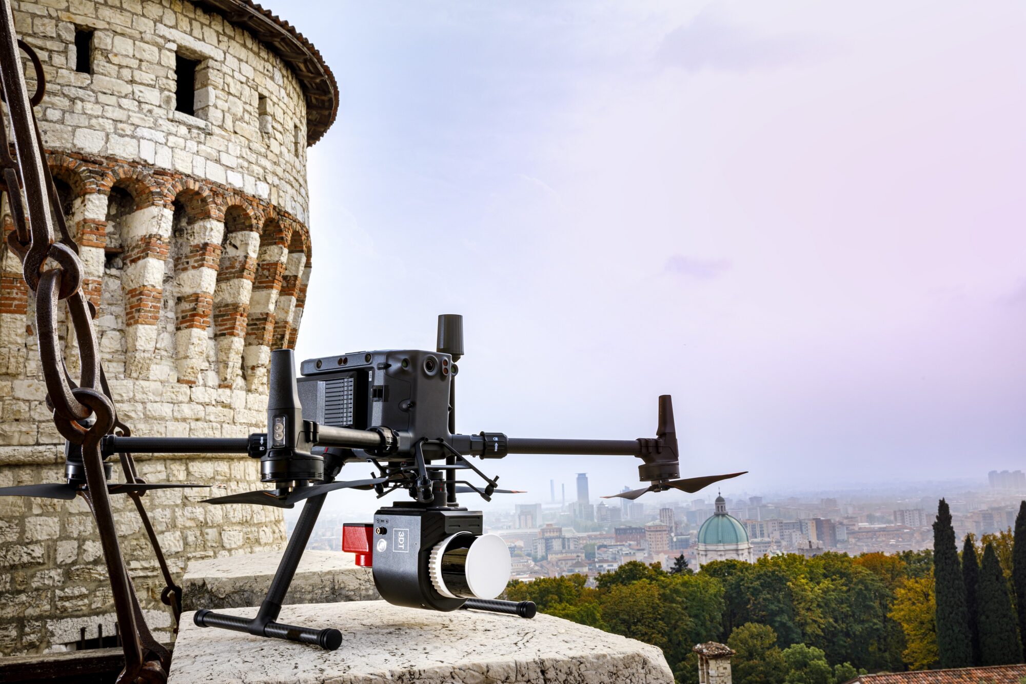
SCANFLYv3_PRO
With these three, 3DT moves further towards its own vision: one system that carries the survey from the field to the finished deliverable, and an operator who has less to manage, not more.
Visitors can explore the technology and view survey datasets at Messe München, 15–17 September, Hall C6, Booth E102.
Images you can trust
The value of a mobile mapping survey often comes down to the quality of the imagery that supports the point cloud. Operators need images that remain geometrically accurate, preserve detail across deep shadows and bright sunlight, and move quickly from acquisition to processing. The new camera for the Scanfly EVO and PRO series answers all three.
- Every pixel in the right place — global shutter and 48 MP resolution
- Dynamic range — shadowed façades and bright sky in one frame, without choosing which to lose
- Removable storage — imagery is ready for processing the moment the survey ends, with no download step from the camera
- No external cabling — every signal routes inside the camera bracket
- Two thirds less colourisation time — RGB colourisation in SmartProcessing Lidar, against the previous camera generation
“Easy-to-use has always been the guiding principle of the Scanfly family since 2016, and every generation brings us closer to that goal. The real value of this development is not the camera itself, but the time it gives back: fewer steps between the survey and the deliverable.” — Mauro Contrafatto · Chief Technology Officer, 3DT
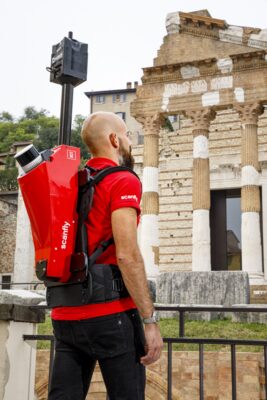
SCANFLYv3_PRO
Two more steps inside SmartProcessing Lidar
Turning a survey into a finished deliverable has always meant leaving the platform at least once. The new release of SmartProcessing Lidar closes two of those exits. Best-estimate trajectory computation now runs natively, so LiDAR data, imagery and trajectory are resolved in one environment instead of moving between software from different vendors. Automatic blurring of faces and licence plates runs in the same place, with new region-specific models including Brazil and South Korea; whatever the software misses can be corrected by hand, and those corrections feed back into training.
Towards a fully integrated workflow
Control in the field was already there: acquisition runs from a browser through Scanfly Web App, while SmartSurvey shows the point cloud building, mission status and alarms during the survey itself. With these two additions, the same integrated workflow extends into the office, where the data becomes a deliverable. What remains outside it shrinks with every release — asset extraction with attributes is next. One platform, one set of tools, one supplier, from the first metre driven to the finished deliverable.
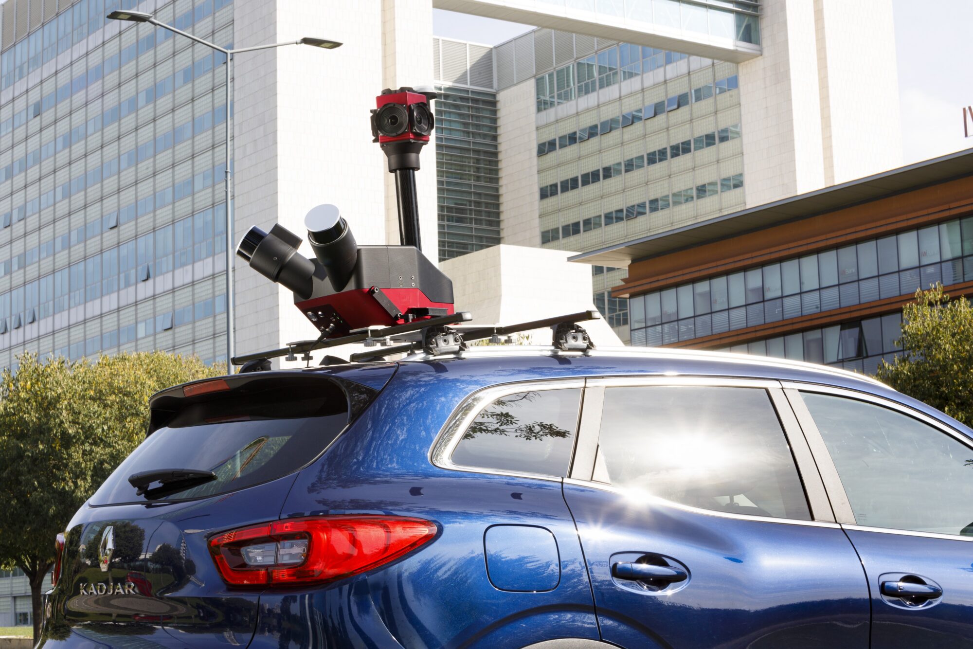
Scanfly_Duo
“Every time a customer has to leave our software to finish a survey, we are further from what we set out to do: make their work as simple as it can be. Closing that gap has been the plan for years.” — Paolo Girardi · Founder & Chief Commercial Officer, 3DT
A new-generation LiDAR head, colour at the sensor
Scanfly has followed LiDAR technology through different generations: compact heads that first made drone deployment possible, then better accuracy and more reliable data. The third generation adds native RGB, captured at sensor level.

SCANFLYv3_EVO
That is not only a shorter route to a coloured point cloud, though it is that too — most of the colourisation step disappears. It also opens up analysis that colour makes possible in the first place: automatic classification of road markings, clean separation of vegetation canopy from the assets it overlaps, and more.
A preview of the new Scanfly DUO is on the booth: more channels, native RGB, optional camera. More, with less, once again.
At INTERGEO 2026
The full range is on the booth: Scanfly EVO, the entry-level payload; Scanfly PRO, the compact high-performance mapper; and Scanfly DUO, the dual-LiDAR vehicle system. SmartSurvey, SmartProcessing Lidar and SmartProcessing run live on real survey data. Half-hour hardware, software and commercial sessions can be booked in advance, and a limited number of free entry tickets is available at [link].
| Dates | 15–17 September 2026 |
| Venue | Messe München, Munich |
| Booth | Hall C6, Booth E102 |
About 3DT
 3DT S.r.l. designs and manufactures LiDAR payloads and mobile mapping systems under the Scanfly brand, engineered and built in Italy and sold worldwide through a distributor network. Since its first LiDAR payload prototype in 2016, the approach has not changed: one compact system and one workflow across drone, vehicle, backpack and boat, with a complete software chain from field to deliverable.

