Montreal, Canada, February 19th, 2026 – SimActive Inc., a world-leading developer of photogrammetry software, announces full support of the new Phase One iXM-FS130 sensor in its Correlator3D™ software. The integration enables mapping professionals to process sub-centimeter aerial imagery efficiently while maintaining speed and accuracy.
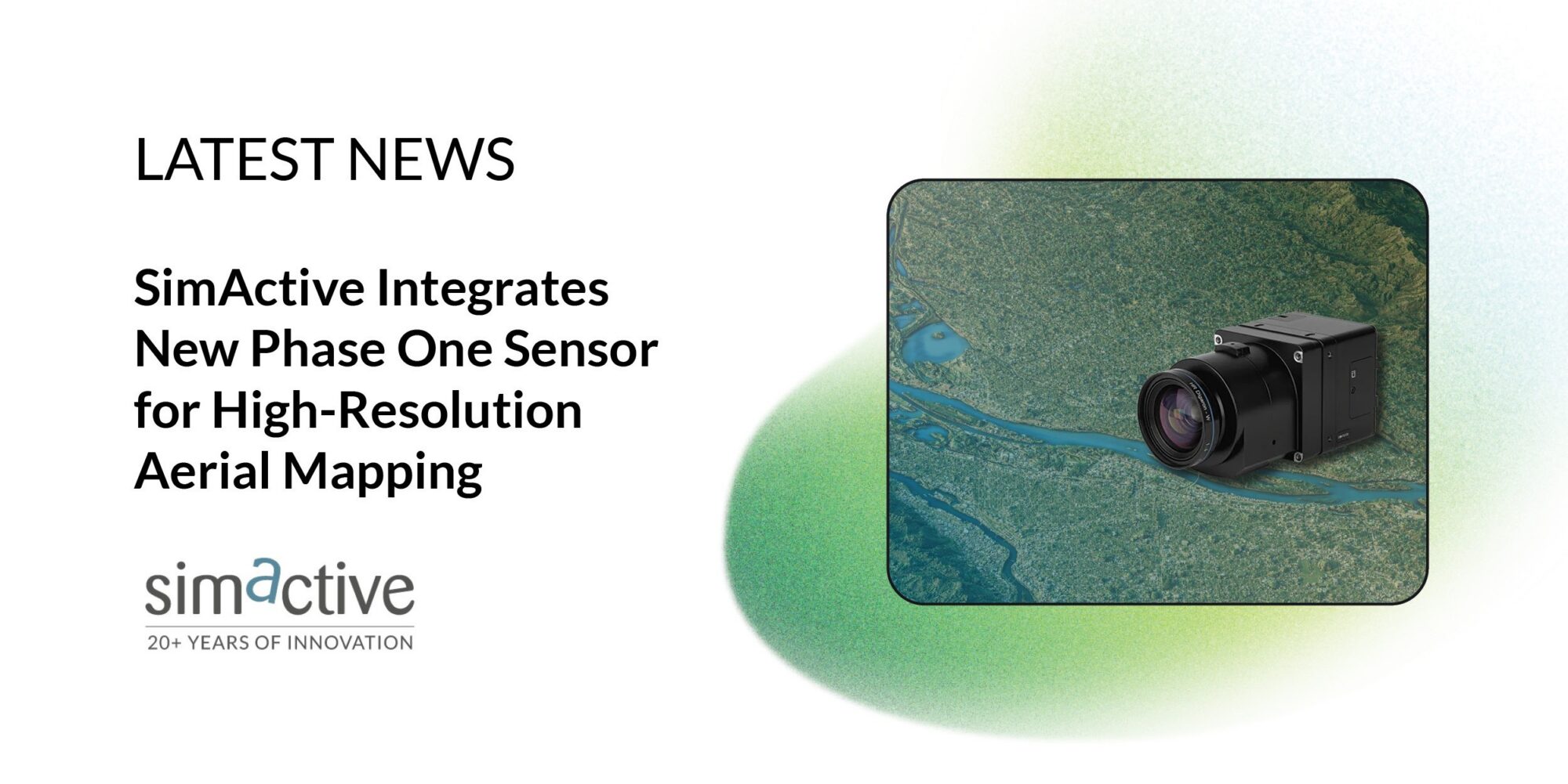
The Phase One iXM-FS130 delivers true 1 cm ground sample distance imagery optimized for fixed-wing aerial missions. Correlator3D processes the high-resolution datasets seamlessly, performing precise aerial triangulation, generating point clouds, dense surface models and orthomosaics suited for demanding engineering and mapping projects.
“The integration of the iXM-FS130 ensures our clients can fully leverage its image quality within a robust and scalable processing environment,” said Louis Simard, CTO at SimActive. “Together, the technologies deliver unmatched detail and workflow efficiency for high-resolution aerial mapping.”
About Phase One
Phase One is a global leader in digital imaging technology. The company provides unrivalled imaging quality for a wide range of applications, from professional photography to heritage digitization, industrial inspections, aerial mapping, security and space. For more than three decades, Phase One has developed core imaging technologies and a range of digital cameras and imaging modules, setting new standards for image quality in terms of resolution, dynamic range, color fidelity and geometric accuracy. Based in Copenhagen, Denmark, and with regional offices strategically located in Denver, Cologne, Tel Aviv, Saku, Tokyo, Beijing, Shanghai, and Hong Kong, Phase One nurtures long-term relationships with customers, technology partners and its global network of distributors, often playing the role of digital imaging partner to customers with unique requirements. It is with this passion for service that Phase One continually exceeds expectations and drives the imaging industry forward. For more information, visit www.phaseone.com.
About SimActive
SimActive is the developer of Correlator3D™ software, a patented end-to-end photogrammetry solution for the generation of high-quality geospatial data from satellite and aerial imagery, including drones. Correlator3D™ performs aerial triangulation (AT) and produces dense digital surface models (DSM), digital terrain models (DTM), point clouds, orthomosaics, 3D models and vectorized 3D features. Powered by GPU technology and multi-core CPUs, Correlator3D™ ensures matchless processing speed to support rapid production of large datasets. SimActive has been selling Correlator3D™ to leading mapping firms and government organizations around the world, offering cutting-edge photogrammetry software backed by exceptional customer support. For more information, visit www.simactive.com.
