Hosted by Michael O’Sullivan, VP Sales at SimActive with guest speaker:
Kyler Whittenberger, Photogrammetry Manager at Settimio Consulting Services
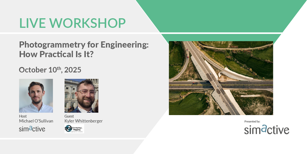
Photogrammetry streamlines engineering tasks by enabling precise ground measurements for infrastructure projects like road planning. How effectively is it applied in real-world scenarios? Join our guest Kyler Whittenberger, photogrammetry manager at Settimio Consulting Services, as he shares how photogrammetry, integrated with Correlator3D, supports critical design and planning processes. Discover how their Leica TerrainMapper-2 combines lidar and imagery to achieve high precision, with both data sources complementing each other for superior results.
Register here: https://hubs.ly/Q03KVlGW0
During this webinar, you will learn about:
- Planning effective imagery and lidar data collection
- Ensuring project accuracy through data processing
- Leveraging lidar’s added value for enhanced precision
- Evaluating data reliability for design and planning purposes