Hosted by Michael O’Sullivan, VP Sales at SimActive with guest speaker:
Stefan Löser, Product Specialist at geo-konzept GmbH
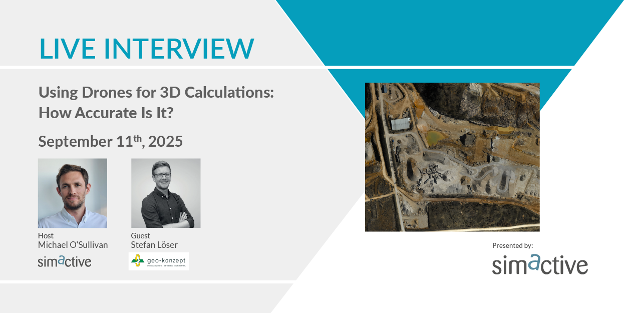
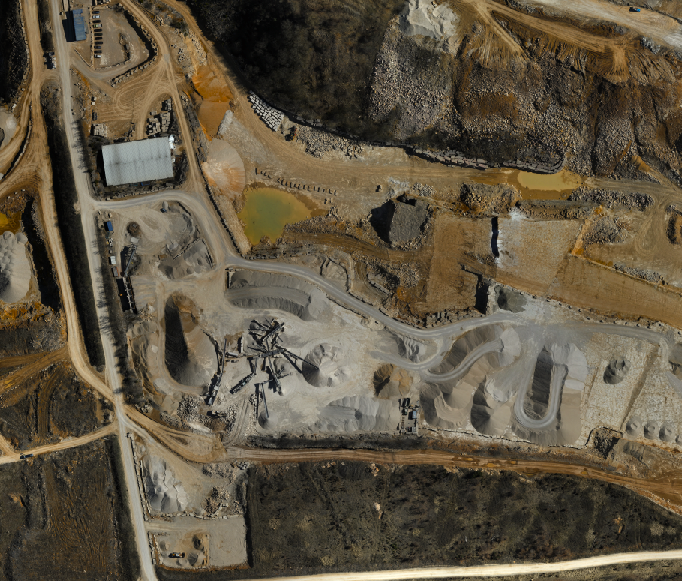
Drone photogrammetry enables generating 3D point clouds to perform volumetric calculations. For example, it is changing the way mining sites operate, making processes faster, safer, and more data-driven. Join our guest Stefan Löser from geo‑konzept as he explores how photogrammetric technologies are helping to improve accuracy, safety, and productivity. Gain insights into how practical workflows can be tailored for 3D measurements.
Register here: https://hubs.ly/Q03FY9MH0
During this interview, you will learn about:
- Choosing the right drone
- Setting up frequent data collections for real-time operational awareness
- Generating point clouds for detailed terrain analysis and planning
- Performing volume calculations to optimize ground operations
