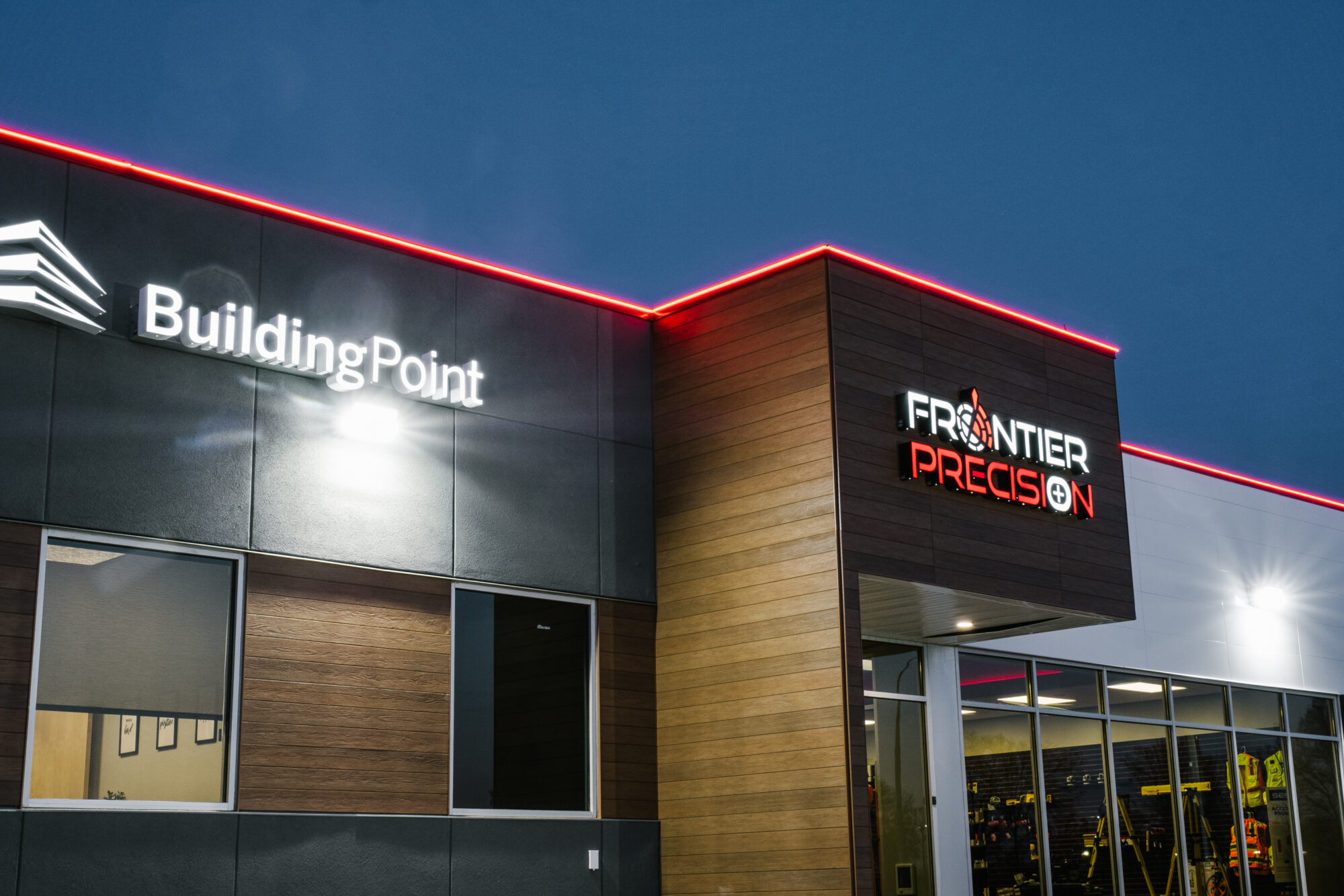
Employee-owned Frontier Precision was founded in Bismarck, ND in 1988, and has since expanded to South Dakota, Minnesota, Colorado, Alaska, Montana, Idaho, Hawaii, Oregon, Washington, and Florida offering solutions and consulting to surveyors, GIS technicians, engineers, contractors, drones/UAS/unmanned operators, law enforcement, forestry, mosquito & vector control, natural resources, and more besides. President/CEO Dennis Kemmesat says, “The geospatial business is still our core business and always will be—that’s where we got our start. But just the nature of the industry, the way it’s growing into other sectors with GNSS or drone technology and now artificial intelligence, we’ve been compelled to expand into industries that are not traditionally thought of as geospatial. So today we’re a little over 150 employees in 17 offices with plans to expand to another three offices to a total of 20 in the next 12 months. And those offices encompass our traditional geospatial offices in our 11-state Trimble territory and also offices for our unmanned (UAV) division, which is nationwide. We have offices coast-to-coast, including Alaska and Hawaii.
And we added an agricultural division about a year ago, focusing more on the Midwest, in response to Trimble’s recent joint venture with AGCO—we’re dealing more with AGCO now on that side of our business.
*****************************
AGCO and Trimble Close Joint Venture, Form PTx Trimble, 04/01/2024, AGCO Corporation (NYSE: AGCO) and Trimble (Nasdaq: TRMB) today announced the closing of their joint venture (JV) transaction. The JV, known as PTx Trimble, combines Trimble’s precision agriculture business and AGCO’s JCA Technologies to form a new company that will better serve farmers with factory fit and retrofit applications in the mixed-fleet precision agriculture market…
******************************
The construction industry also been an area of growth— we’re expanding into the construction side of things, buildings and civil infrastructure, and many opportunities are opening there.
So, a lot of different irons in different fires and it’s an exciting time for us.
Angus Stocking (AS): Tell us a bit more about the agricultural side of Frontier Precision:
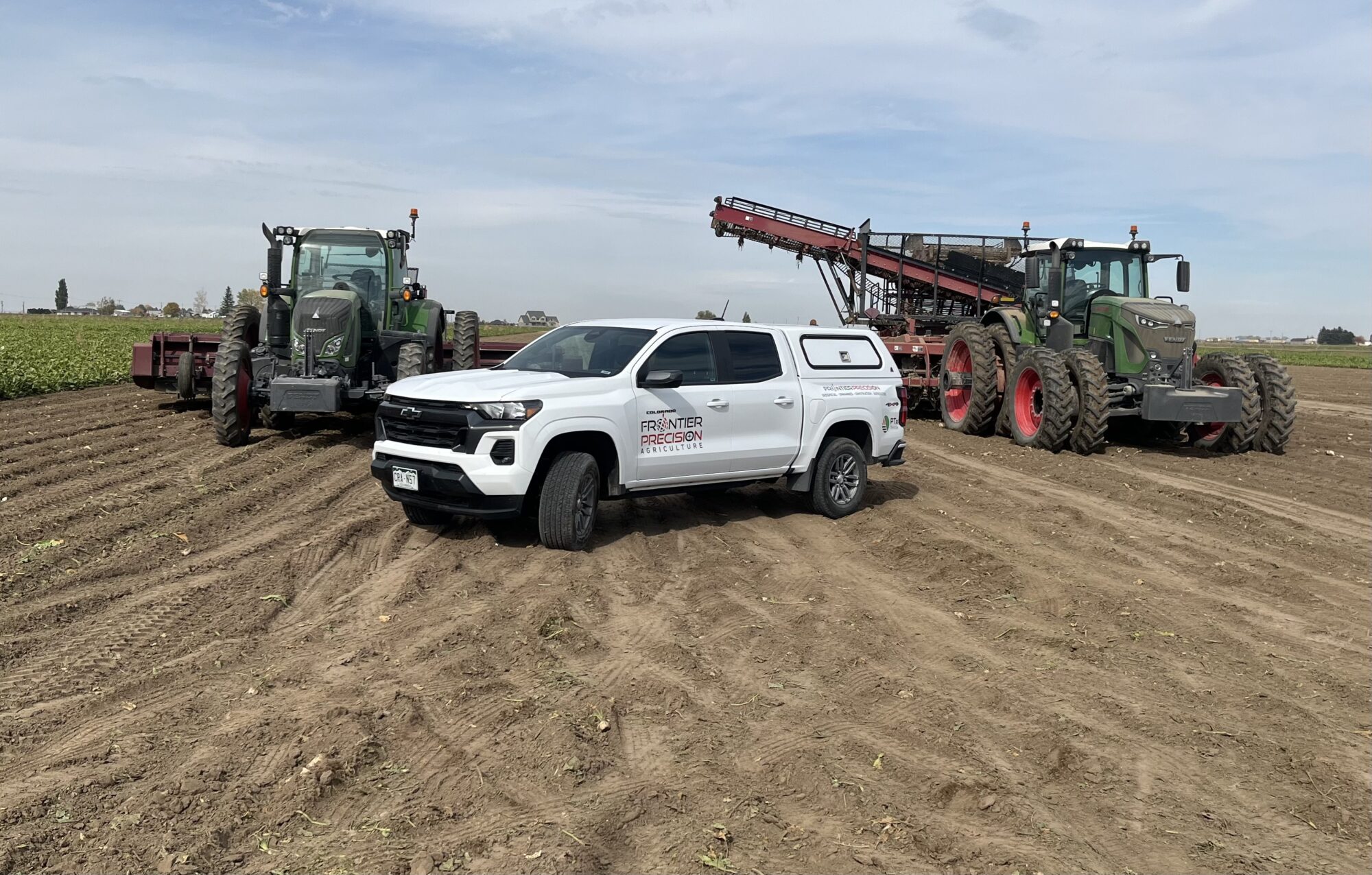
It encompasses a few different technologies, but certainly precision agriculture and Trimble’s initiatives are what got us interested in the first place. We’re supporting all the products that Trimble has brought to market for precision agriculture—guidance systems, precision planting systems, that sort of thing. But now that we’re into agriculture, we’ve expanded into some other areas. Spray drones, for example, was an easy one for us because we’re already supporting drones, and then also ‘traditional’ drone monitoring of crop health. One piece, new to us, that we’ve added to our agricultural offerings is grain bin management—we’re now representing a US company selling systems for, basically, farm management.
AS: Do land surveyors have a role in precision agriculture?
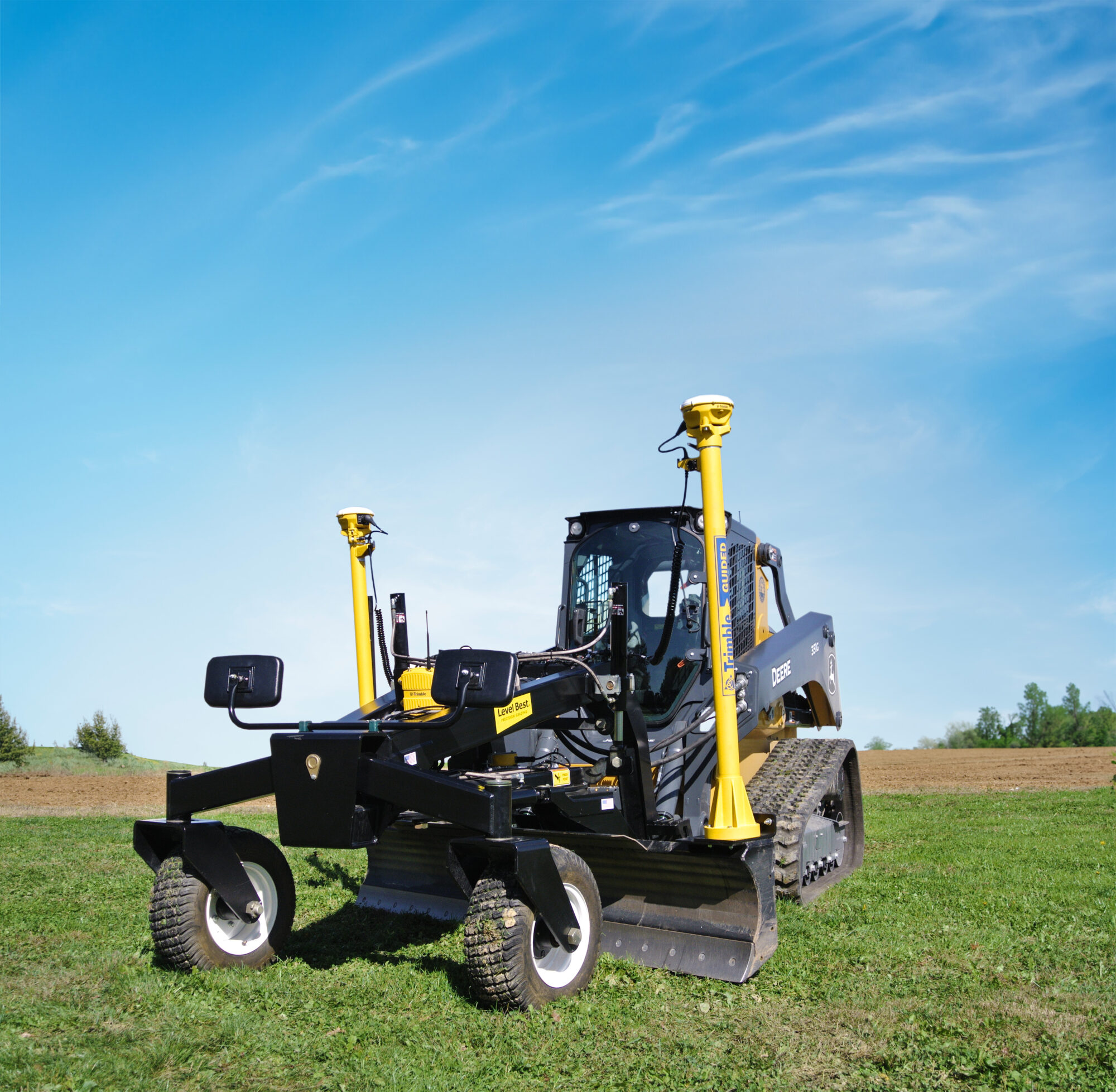
What we’re seeing as we’ve gotten into this segment of the market is that farmers have really moved from traditional family-owned farms to million or multi-million dollar operations—the day of the smaller farm, unfortunately, is probably in the rear view mirror. There’s still a few of them out there, but for the agriculture industry to survive, and the farming community to survive, they’ve had to really kind of expand and grow. And these are big operations—thousands and thousands of acres, they’re very sophisticated, and they’re looking for technology to enable their operations to be a lot more proficient and profitable. So I think in a lot of those cases there’s an opportunity for surveyors to be engaged with that as farms grow in size. Obviously, you’re dealing with a lot of land and there’s a place there for a land surveyors to be part of that.
AS: How do you see AI affecting land surveying, and Frontier Precision?
The most immediate impact on our business has been on the software side. And I just had a discussion with one of our partners last week about this, and AI is becoming more prominent in data management. I think there’s still a lot of runway in front of us as far as how it’s going to directly impact even drones or traditional survey tools like, you know, GNSS or robots or anything like that—that’s where we hear a lot of buzz around AI, and obviously Trimble’s talking about it a lot as well.
But the conversations I’ve had with vendors have been more about software processing and data management. What we’re all noticing is that AI is starting to be used for handling large volumes of data, for example LIDAR data or any scanning related data, whether it’s terrestrial or aerial. It’s streamlining the process for handling it, so there’s less hands-on needed for somebody in an office to manage millions and millions of points. AI is automating that and getting it to the right file format that’s going to be required for different design software or things that are going to utilize the data.
So that’s kind of where we’re really seeing the big impact on AI at present.
AS: GIS and land surveying must integrate:
Something that’s been on the horizon for a couple of decades, and is now happening, is the GIS side of the world and the surveying side of the world coming together, both as far as the needs and desires for accuracy and, again, just management of huge amounts of data. Those two worlds used to be separate and they’re really not anymore. Most of the larger civil firms that we deal with are heavily involved in the GIS side, and they’re also involved in the surveying side. I think the time is upon us that a surveyor needs to be educated on GIS, and likewise GIS people need to be educated on surveying. We’re seeing that movement. If you look at ESRI, there’s certainly a big push in their world to bring higher accuracy data into GIS, which really falls into kind of the land surveying world.
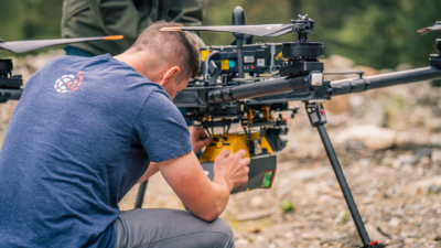
And then sensors and GNSS receivers and even drones are all converging into an overall geospatial concept, as compared to a ‘GIS versus surveying’ world. And that’s happening a little bit on the construction side as well—construction firms are really starting to look at traditional GIS type applications for project management and monitoring.
Those are some of the biggest changes I see on the horizon.
AS: Personal service will always be an emphasis for Frontier Precision:
Yeah, know, it’s funny, obviously we’ve been in business a long time and the one thing I will say that has not changed, and I don’t anticipate changing, even though we’re living in this world of technology, and even as we’re doing this this online video call, is that the in-person part of our business has not changed. Frontier Precision still, even though we communicate a lot with text messages and, you know, video conferences and all of that, I truly believe our customers continue to appreciate one-on-one personal contact with our representatives. That’s one of the big things that I still think is valuable in our industry that can’t be replaced by technology. Even during COVID we maintained the personal relationships that, over the years, helped us build our reputation and customer trust. And we continue to really emphasize that that’s an important part of our business that we always want to make sure we have in place.
Angus Stocking is a former licensed land surveyor who has been writing about infrastructure since 2002. Angus hosts the Everything is Somewhere column and podcast for The American Surveyor.