Historical beehives, leaky roofs, and seismic retrofit…. Three things you don’t typically talk about at the same time, unless of course, you are talking about the Historic Washoe County Courthouse in Reno, Nevada. From its large amount of divorces in the 1930’s, to a “historical beehive” from the 1940’s, to having boxing’s famed Referee Mills Lane serve as District Attorney in the 1980’s and sit on the bench as a judge for two terms in the 1990’s, there is a lot of history between these walls. Walls that Washoe County wanted to make sure are still standing after the potential “big one” the West Coast of the United States has been waiting for. So how do you get a full 3D model of this sizeable “Classical Revival” style courthouse, with its historical beehive that has been there so long it is protected, along with the roof and cupola (a fancy architectural term for the dome I learned while writing this article)? With LiDAR, that’s how!
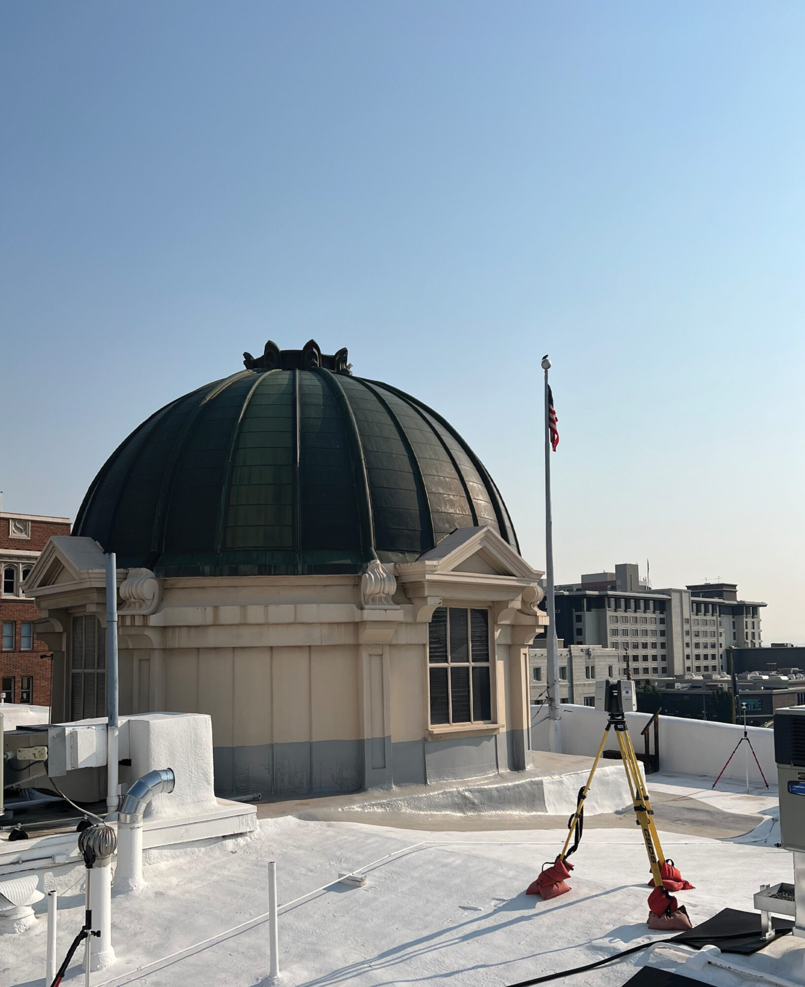
LiDAR has become a huge tool in the world of surveying. From airborne to mobile to traditional static scanners, you can find a use case for it for most civil engineering projects. Want to scan an unsafe intersection? LiDAR! Want to capture unreachable areas deep down a canyon wall with heavy vegetation? LiDAR! Want to capture the historical architecture of a building and use that information to create a detailed model for a seismic retrofit and find roof ponding areas to stop potential leaks? LiDAR!
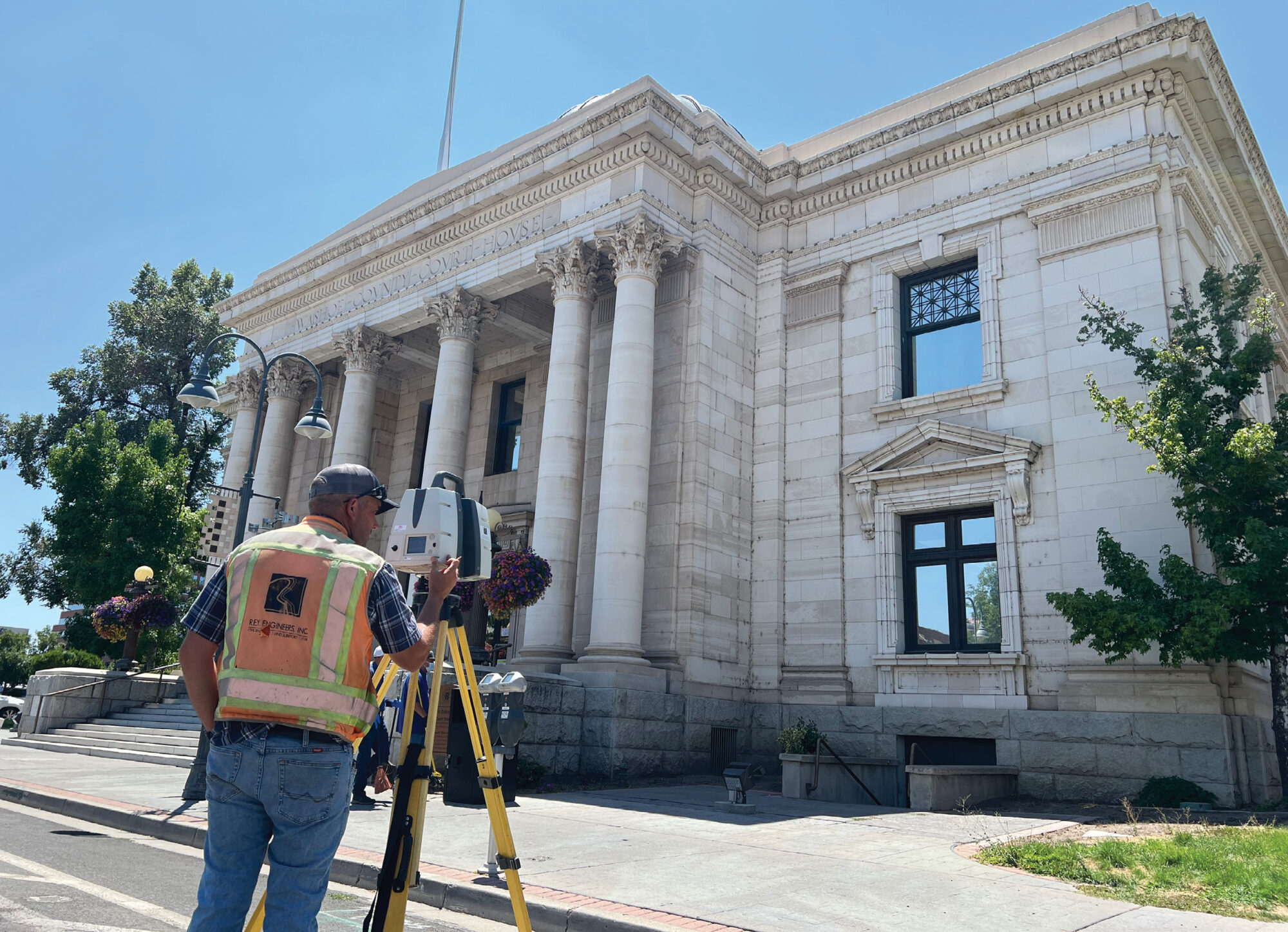
Field crew utilizing a Leica P40 Scanstation to scan the exterior of the Washoe County Courthouse.
It seems now more than ever we have a great need to capture historical sites to preserve and prevent potential disasters. No one knows this better than the folks at the famed Notre Dame Cathedral. In 2010 a full 3D scan was completed using LiDAR. Nine years later, a fire damaged a significant portion of the building. Having a 3D model of the building has been an immense help to the folks trying to rebuild the structure to it’s original state.
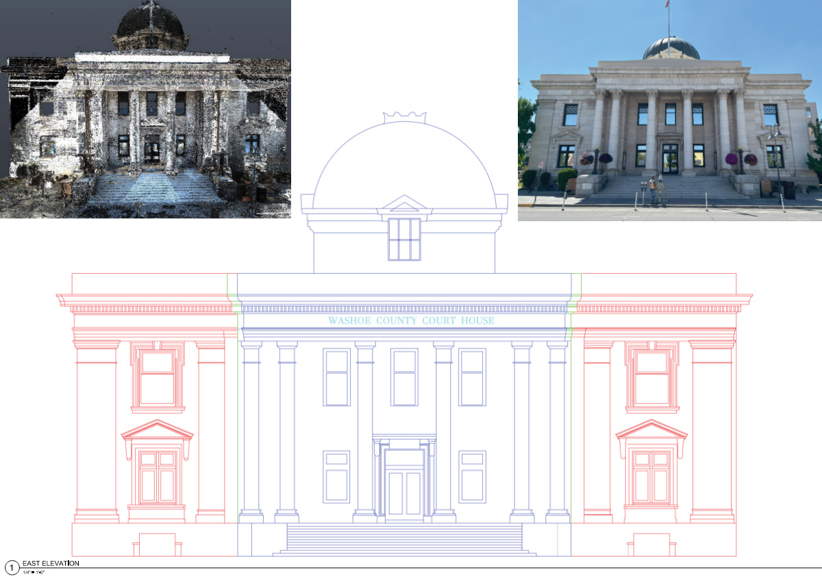
Finally deliverables produced from the LiDAR point cloud
The engineering professionals at Washoe County have this purpose at the top of mind. They see the need to get ahead of these types of disasters and be proactive. So, they engaged JKAE, an engineering, architecture, and surveying firm from Reno, who brought R.E.Y. Engineers, Inc, on board, to do just that.
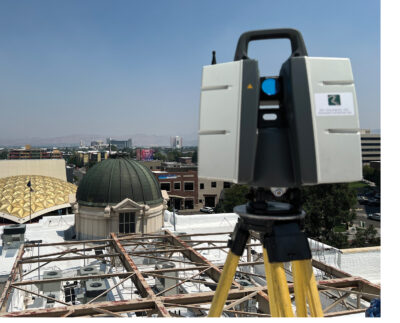
Over 3 short days, the team completed some 60+ individual scans, along with imagery, of the roof and outside façade of the courthouse and the cupola (twice in one article!), getting every ornate piece of architecture. They even collected 4 scans from the 6th floor of the adjoining annex courthouse roof to gain a better vantage point on the historical rooftop and dome. Once all these scans were collected, they were stitched together and put on survey control. The registration error of the model was less than 0.03.’ This was such a dense and accurate dataset you could see the bees filing their own divorce paperwork inside the “historic beehive”! Okay maybe that last one was a little bit of a stretch… but all joking aside, you could clearly see the historical beehive and if a model of it was needed, we could do that too!
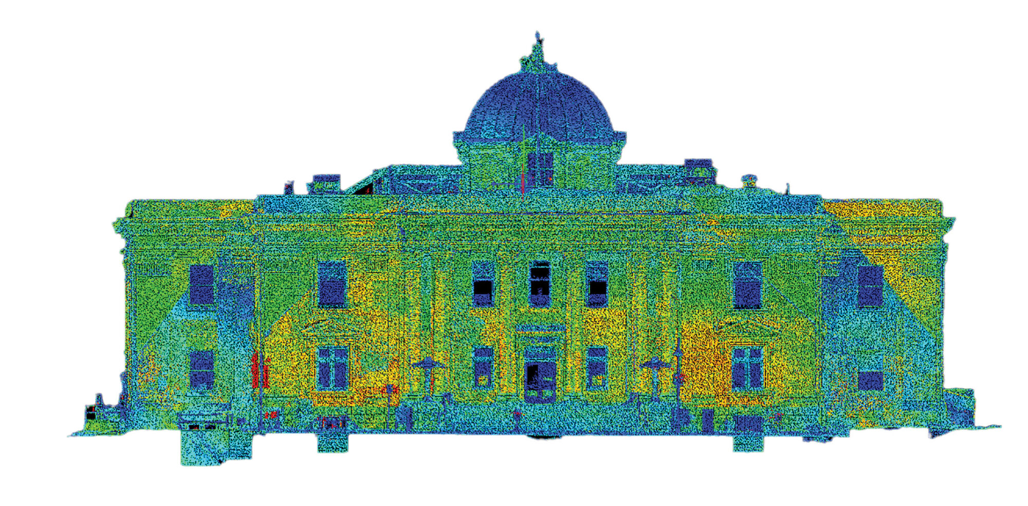
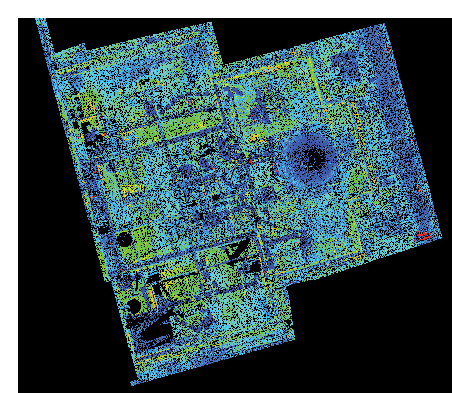
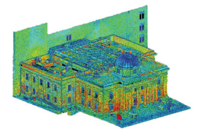
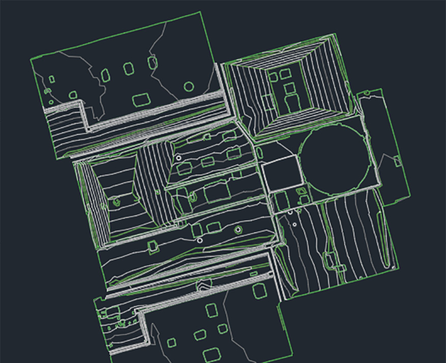
Now that Washoe County has this information, they can start the critical work of designing the necessary seismic retrofits, and roof drainage plans, to help keep this historical building around for another 100 years or another 10,000 divorces, whichever comes first.
Jed Gibson is a licensed Professional Land Surveyor in California, Nevada, Oregon, and Washington. He is a Remote Sensing Project Manager with R.E.Y. Engineers headquartered in Folsom, CA. He has been surveying since 2014 and has an extensive background in remote sensing, land surveying, and large-scale topographic mapping projects, including the Oroville Dam, the tallest dam in the United States.