After extensive testing though its Beta site, NGS is making the following four online tools available to the public as official products offered on the geodesy.noaa.gov website:
- DSWorld Web – enables users to submit updated information on survey marks available on NGS datasheets.
- Leveling Project Page – simplifies searches for mark and observation information for an entire leveling project.
- Calibration Baselines (CBL) Web Map – provides quick and easy access to the latest CBL information.
- Passive Marks Page – for user-friendly datasheet access, including graphics, maps, and project information.
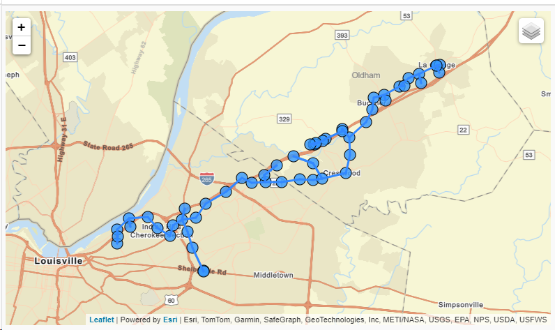
Example of Leveling Project Page, showing project L18355, a Louisville to LaGrange KY survey from 1960.
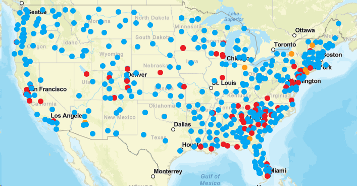
Calibration Baselines (CBL) Web Map showing available GOOD (Blue) SUSPECT (Yellow) or DISTURBED (Red) calibration stations.
