Assuming you’ve ever traveled by plane, train, ship, or automobile, or received a package in the mail or through a shipping company, or used an autonomous drone or vehicle of some sort, or perhaps played a video game, then you have likely benefited, albeit unknowingly, from some piece of technology developed by Mike Horton. His first company, Crossbow Technology, founded in 1995 with his UC Berkeley advisor Richard Newton, developed microelectromechanical systems-based sensor technology for various uses, including motion-based input devices like the Nintendo Wii.
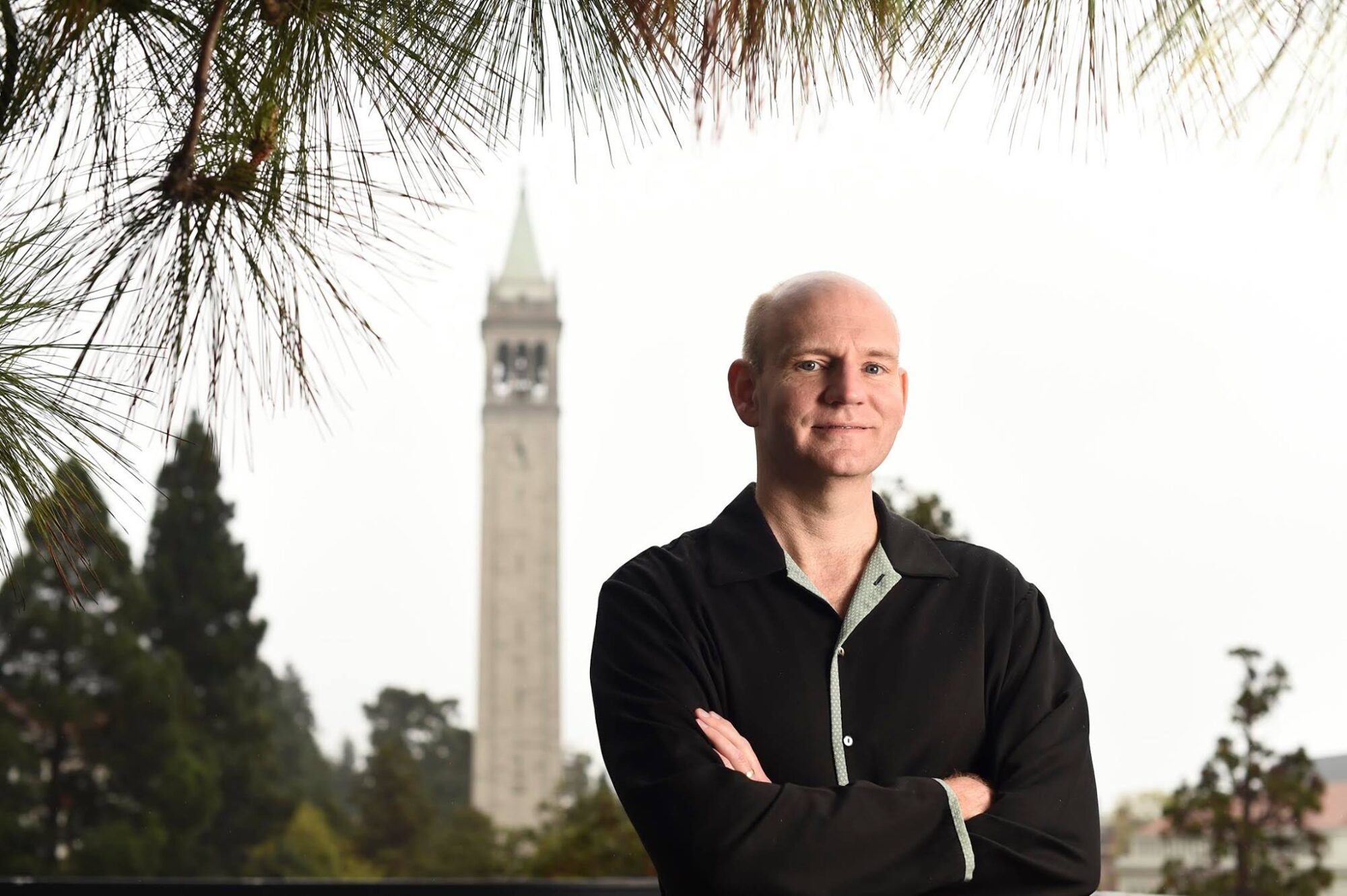
Mike Horton
His more recent venture, Anello Photonics, has leveraged optical gyroscopes (that replace clunkier mechanical gyroscopes) for use as inertial systems for automated guidance of farming equipment, UAVs, and other vehicles. “We’re shipping the world’s first-ever optical ‘gyroscope on a chip’ and the smallest optical gyro commercially available,” Horton says. “They have the benefit of very low drift, low noise, low temperature sensitivity, no vibration, and shock sensitivity, making them robust for GPS-denied navigation, and that’s the primary application.”
That last bit is important; Horton is very aware of the crucial importance of GNSS-enabled location to the Silicon Age, and of its sometimes concerning fragility as the service contends with three sources of error: “There’s clock error, orbit error, and space weather error or ionospheric error. And the most unpredictable of these, and the error that changes the quickest, is actually ionospheric error, which is being caused fundamentally by space weather. It’s being caused by the sun’s magnetic field, and its chaotic and turbulent burning that creates a solar wind, which then influences the ionosphere, causing these distortions or delays, variable delays in the path length between the geostationary satellite and your receiver. So actually when you’re sitting there and you see your position kind of bouncing around before you have RTK corrections, that’s usually being caused by space weather.”
And that’s why Anello Photonics has been successful; by focusing on very small inertial guidance systems that maintain location awareness during times of GNSS signal interruption or distortion, the firm fills a small but crucial gap in the automated guidance and navigation ecosphere, and the technology is making itself indispensable.
Now, though, Horton is turning his attention directly to the problem of GNSS signal interruption, particularly due to space weather, and his new tech startup, GEODNET, can be described as an attempt to create the world’s largest and most accessible RTK network via crowd-sourced receivers funded by a bespoke crypto coin, the GEOD token, with a proof of accuracy protocol and token distribution enabled by blockchain. That’s a mouthful, and probably garbled by this writer, so let’s hear about it in the words of Mike Horton himself. Mike graciously made himself available for a lengthy conversation about GEODNET and other geospatial topics, and this conversation is excerpted below.
An Overview of GEODNET
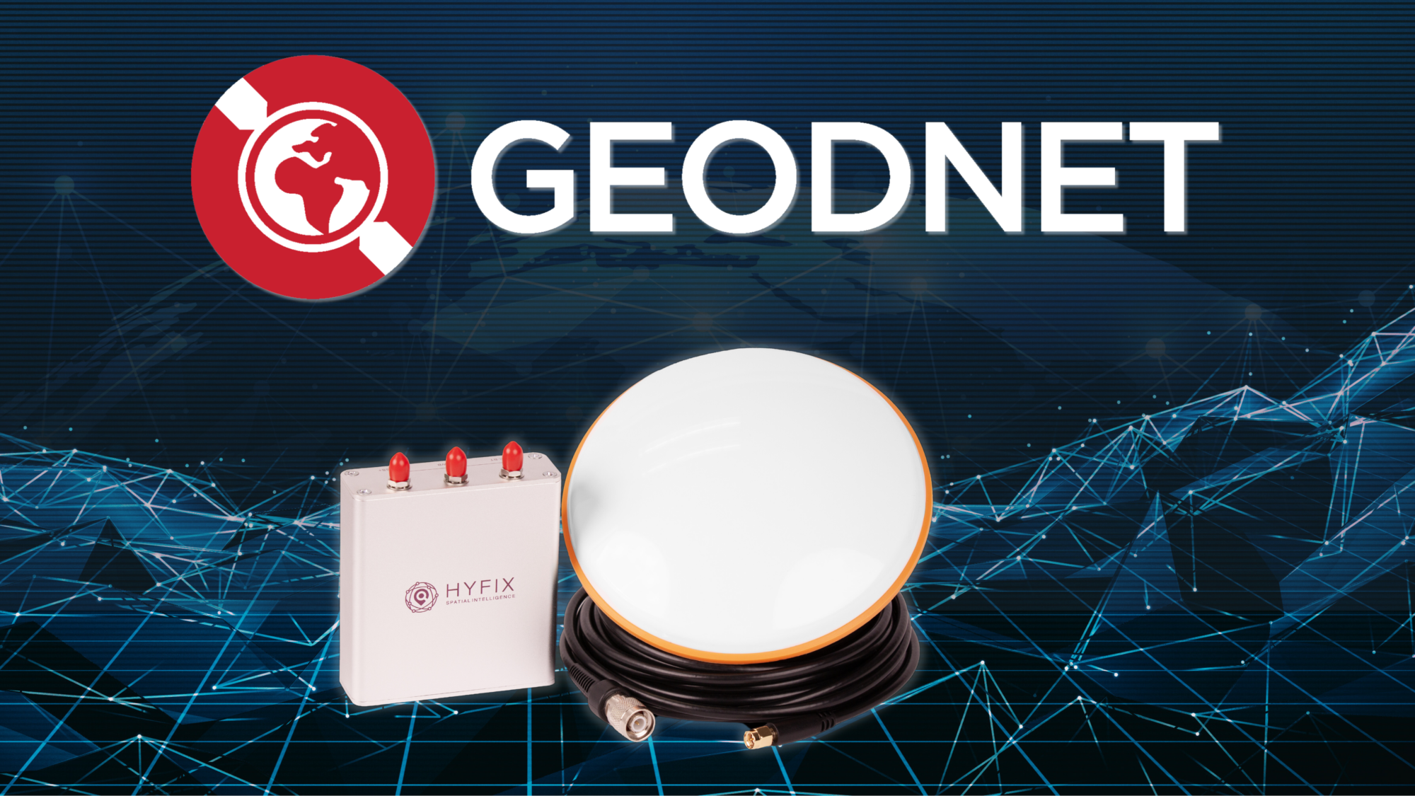
GEODNET is an acronym standing for Global Earth Observation Decentralized Network. The idea is that it’s a public network of reference stations where anyone can contribute a reference station. You have to buy a certain type of hardware and make sure it has certain capabilities, and we’ll talk about that. But you can set that up at your house or place of business or on your land and contribute GNSS reference station data to the network. And the idea is that by building an internet of reference stations, we can make positioning affordable for more people. So, the industry has been trying to solve the need for terrestrial-based GNSS networks, for corrections, for a variety of applications but primarily for GNSS corrections for high accuracy positioning. It’s very difficult to get the density of stations needed; you really would like to have a station every 20 kilometers to have the absolute best performance and accuracy. And I think prior to a Web3 blockchain-based approach, that’s been deemed sort of impossible. So the industry has focused on solutions that use fewer base stations, more modeling, more requirements on the rover side. GEODNET turns that on its head and says, look, if we do an intelligent crowdsource-based solution where there’s incentives and requirements so that the performance of these stations is survey-grade, we can build an extremely dense reference network and make high accuracy positioning easily available to all.”
How did GEODNET get started?
There are two other co-founders of GEODNET besides myself, Dr. Yudan Yi and David Chen. Yudan was one of the original developers on Topnet, Topcon’s correction network, and then went back to his home country where he was born. He is a US citizen, but he went back to his home country for a few years to China to work on one of the largest public corrections networks in China. He saw the potential of large-scale public correction networks, came back to the US, where we met. And we started thinking about how to get that kind of capability to the US? In parallel, we started to get familiar with blockchain technologies, and we studied a project called Helium, which is an interesting project in the decentralized wireless network area. Then we connected with David, who is an expert in blockchain and had been working on similar ideas himself. And the three of us together formed GEODNET in 2021.
GEODNET: A ‘Crowdsourced’ ‘Internet of Receivers’
It’s crowdsourced in the sense that it’s permissionless, and that is really a better word to use. ‘Permissionless’ means that anyone can set up a station and add it to GEODNET. Crowdsourcing sometimes implies a low-quality level, and that is not the case with GEODNET. The quality of the data is high, and that’s guaranteed through the protocol itself.
There are some casters for GPS corrections that are basically free, and other people can use them as a receiver. The problem with that is that users don’t know anything about the receiver—it might actually be a rover for all they know, or it could be under a tree, or a dual band. Those things can be useful for testing and for development. But it would be really hard if you’re a surveyor or someone in the field to have any idea what you’re connecting to. And the station may be there one day and not the next. That’s kind of what you get with crowdsourcing.
What GEODNET does is build a protocol where there are incentives and there’s requirements that the hardware is certified to have certain capabilities. It has, for example, triple frequency for a constellation receiver and signs the data so that you know that the data is authentically generated and it’s not a relayed set of data. So you can build a predictable service but at the same time, maintain the property of anyone that joins. And because it’s a high-quality service, money can be exchanged for that service, and the people who take the time to buy and set up a station can be rewarded fairly through the protocol. And it’s blockchain technology that connects all those pieces together and lets you do that all over the world with one system that everybody can see what’s going on in a transparent way.”
‘Internet of Receivers’ is a great phrase. Because when you think about the internet, there’s not one company that owns all the pipes that connect us all together. Me and you are talking right now via many companies and systems, but it works.
And I think that traditionally these reference networks, certainly the commercially oriented ones, have been run by one company or another and they haven’t interconnected in any way. They haven’t allowed for people to add capability to the network in any way. It’s been sort of centralized control and that limits the growth. With a blockchain-based protocol GEODNET can have guarantees of service and quality at the same time as being able to expand rapidly.”
GEODNET.com uses the phrase, ‘space weather powers IT services.’ What does that mean?
There are other applications of space weather corrections. There are disturbances to the electrical grid, for example. The folks at JPL have shown that ionospheric data can predict tsunamis and volcanoes, and they’re able to see disturbances in the atmosphere and make weather predictions and so forth. So the business application of terrestrial networks of GNSS stations, that we all see in the navigation field, focus on improving GNSS accuracy. But there are other applications of those data streams in terms of geospatial monitoring, earthquakes, tides, etc. So if this data is made available, many different applications can be built out. I’m personally most familiar with the RTK high accuracy positioning use case, but there’s definitely possibilities in the electrical grid and even telecom space.
Considered as a tech startup, what the business case for GEODNET right now?
GEODNET is organized as a foundation, and the primary way that the foundation makes money is to make the data available commercially under two different business models—people pay for that data.
Let me state how I think this works, then you correct me as needed: A tech-savvy guy, a surveyor say, sets up an RTK receiver on his roof and calibrates and monitors as needed to start broadcasting good corrections and data. And then I join GEODNET, and as my data is used, I start mining GEOD tokens, a bespoke crypto coin, as a reward?
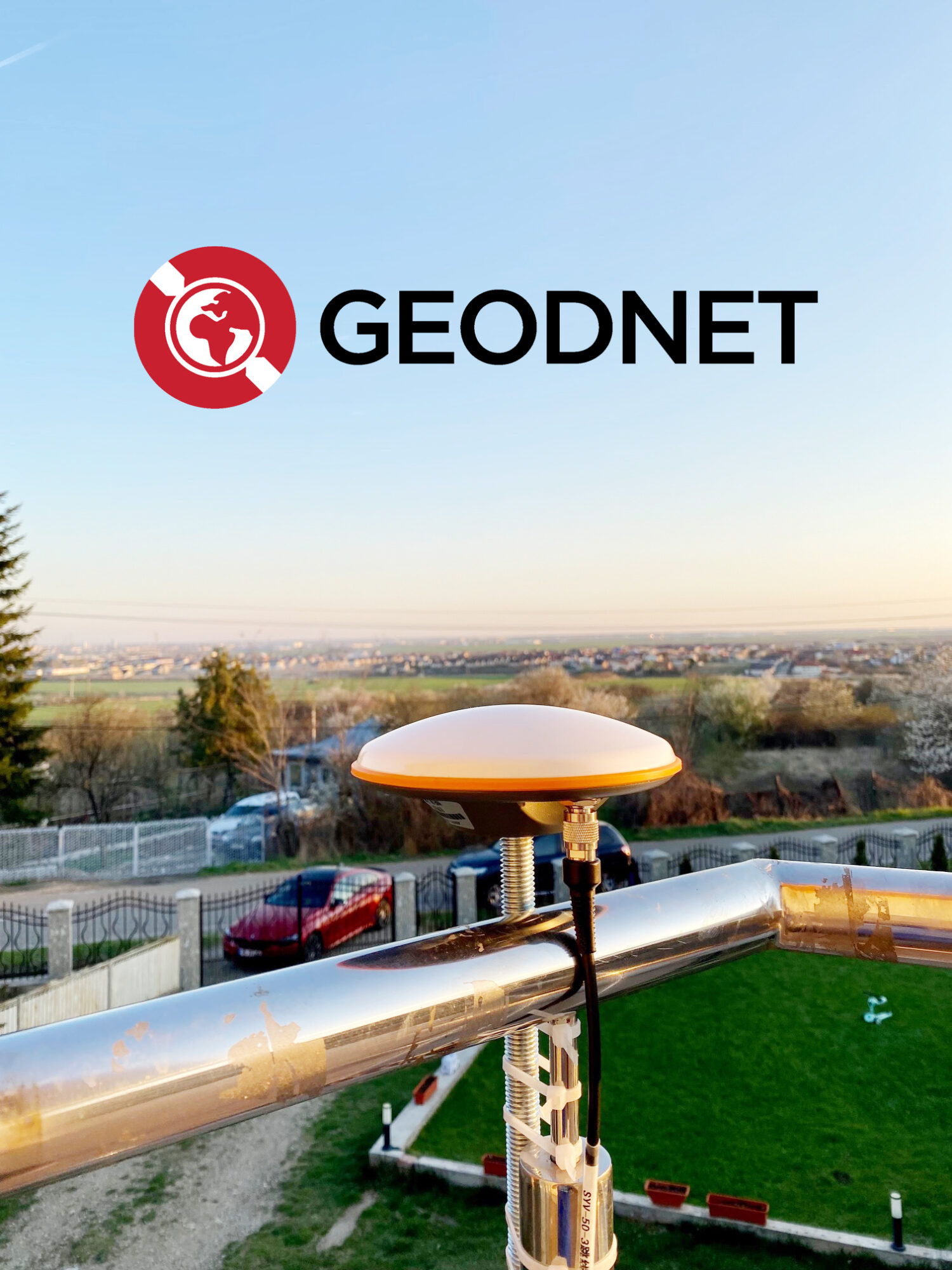
Basically correct, but token mining is not related to the extent your data is used. It’s related to the quality of the data that’s provided and the location from where it’s provided—you don’t have to worry about how many people are using your data. What is important is that your caster is new in a region and not competing with other GEODNET receivers. There’s a first-mover advantage to setting up these stations.
So there’s a ‘land grab’ aspect to setting up a GEODNET station?
If you’re the first to set up a new station in a region, you have a protected long-term advantage. So ‘land grab’ is not a bad way to describe that—you want to get in early to set up your station. And then you can get a stream of token rewards from that station for as long as the network runs, which we hope will be forever.
While we talked, Mike looked up Paonia CO, the tiny, rural town I call home, and informed me that I have an opportunity to place the first GEODNET station here.
So that’s an empty hex (on the station location map available at GEODNET.com) and the closest occupied hex we have is in Colorado Springs. So it would be wonderful if you put up a station there. That would be providing brand new coverage and you would get token rewards for that. You go to Denver, looks like we have about eight stations, maybe even 10 stations in the Denver area, some of which are super high quality. And so we have very good coverage over Denver and I think Colorado Springs, but you go west of there, we don’t have coverage yet. So that’s why, you know, it would make a ton of sense for you to add a station.
Interesting. How would I go about that?
The foundation recommends several suppliers of certified receivers. Go to www.geodnet.com to see a list of distributors . For anyone in geospatial or tech, they’re straightforward to set up and get connected to GEODNET, and you can start earning tokens the same day—they’re calculated hourly and transmitted daily.
Tell me more about these tokens.
It’s a bespoke cryptocurrency based on an ERC-20 token, which means it’s based on the Ethereum standard. It runs across an L2 network called Polygon, that’s a low-cost version of Ethereum. And you create a wallet, maybe a couple-hour learning curve to get it all set up on the wallet side, but it’s not hard. And we have a video on it, how to trade the token and so forth. Once the station is installed you’ll start getting tokens and then you can swap them out for dollar-backed stable coins and then cash them out on your centralized exchange like Coinbase or Binance or crypto.com or Kraken or whatever you use.
It’s really not that hard. You know, we have 3,000 plus people operating stations now. We can transmit tokens to them every day at virtually zero cost all over the world. Try to do that with wire transfers or PayPal or something like that. You’ll quickly find that’s completely and utterly impossible. It simply does not work at that kind of global scale and that kind of frequency. But it’s easy to do with blockchain. And so that’s one of the real powers of using blockchain, that capability of distributing rewards fairly and quickly, cheaply, extremely cheaply. It costs us virtually nothing to transmit those rewards every day.
So that’s really one of the nice things about blockchain, the ability to get these rewards out to people every day effectively.
Kudos to Mike Horton for recognizing a permissionless RTK network, with blockchain-enabled data quality and reward protocols, as something of a ‘killer app’ in the geospatial sector. Readers can find out much more about the technical underpinnings of GEODNET and GEOD tokens, how to subscribe to the service or join the network, or look up the station situation in their region, at GEODNET.com.
Angus Stocking is a former licensed land surveyor who has been writing about infrastructure since 2002.