Us pioneers who were surveying in the 80s recognized those years as a heady time even as they were happening, as EDMs and humble design software came online, and then total stations and data collectors and pen plotters and GPS and all the rest. And we remember quite well there were suddenly hundreds of developing tech and software firms entering the land surveying arena and competing for market share as ardently as the Apples and Microsofts and other titans of code.

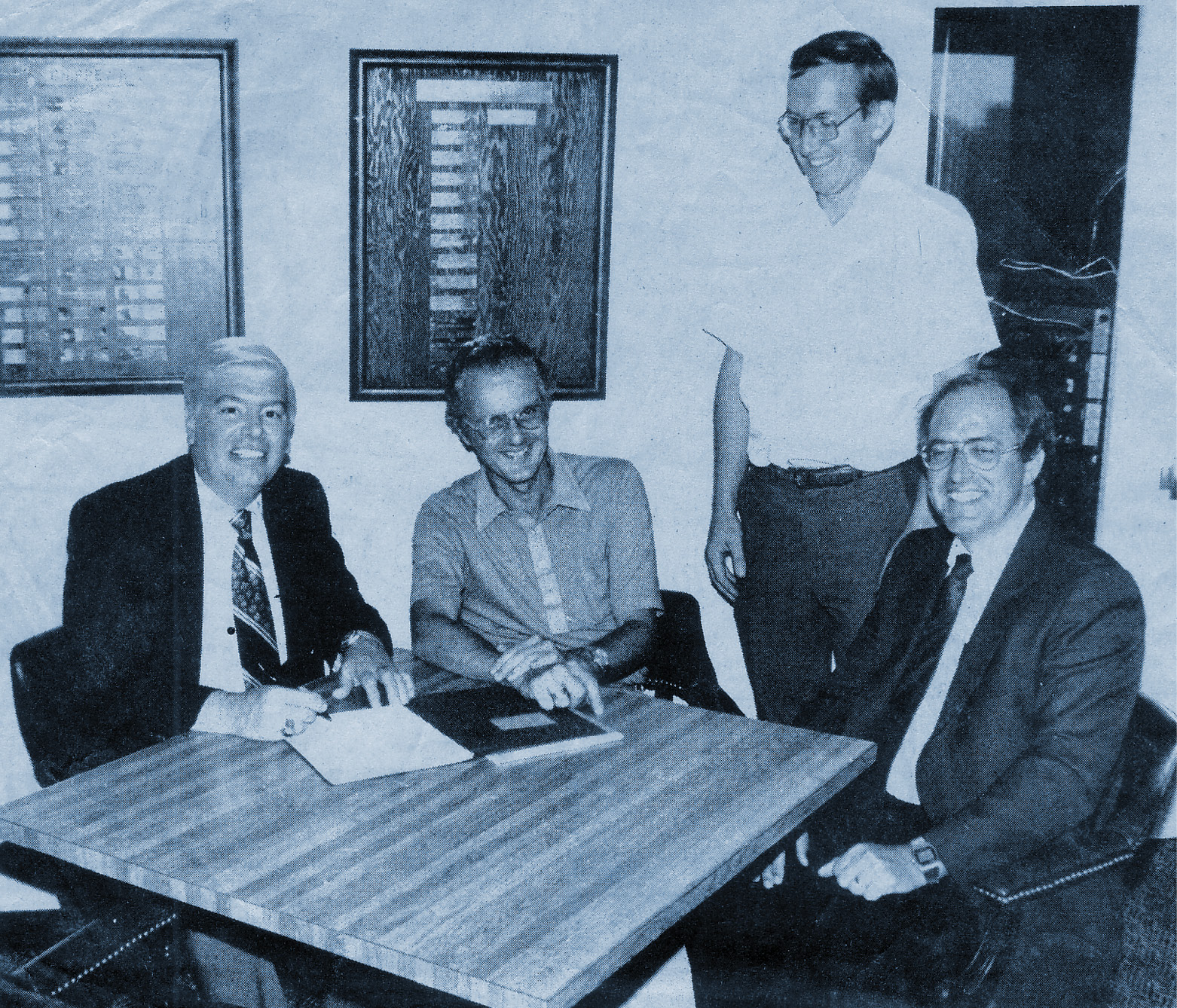
Bruce Carlson in the 3rd floor conference room of the historic Carlson Software headquarters building.
In decades to come the competition would result in a few big winners, and in the 80s those of us observing the race to innovation had no idea who they would be—and it mattered, because there was money to spend and work to win, and placing a big bet on the wrong tech might easily be the doom of a survey shop.
Launched in 1983, Carlson Software was in the thick of the scrum from the beginning, and as the iconic company marks its 40th anniversary this year, founder Bruce Carlson agreed to a lengthy interview with American Surveyor, and spoke with me for nearly two hours about the early days, the current state of the industry as he sees it, and the startling new initiatives Carlson intends to pursue in the next 40 years.
It’s been my privilege and pleasure for 20+ years to interview some of the smartest and most influential leaders in infrastructure, and none more so than Bruce. He’s a great talker, eloquent and expert in his storytelling and an actual participant in many of the events that revolutionized land surveying as the century turned. I could write a book based on the interview, but instead I’ll excerpt two sections here. The first, below, is mainly comprised of ‘war stories’ told by someone who navigated the challenges of this market. And in the next issue, Bruce’s thoughts on the state of the industry, technological advances that must be achieved, and the importance of Carlson Software staying private and competing in the market long-term.
Aside from bolded words, everything below is verbatim from Bruce.
What inspired you to start your own software company?
Well, I was a principal and founder of a civil engineering and surveying company, very small, with two partners, and it was called Maysville Survey & Engineering. And I had written some software for hydrology and also for surveying calculations when I worked with both my partners at a previous company. And then when we all started this new company, I was looking at either buying software or writing our own software…
Before Carlson Software, Bruce was a principle in a small survey and engineering firm based in Maysville, KY. Here, they closed a deal on major municipal water system improvements back in 1982.
I went ahead and decided to write software for our own internal use myself because $2,500 (for a competing solution) was a lot of money to shell out, and we had no sense of how good it was. So I wrote our own, and I wrote it in such a way that I might be able to sell it. I wrote it with an eye to use by other surveyors, focusing on a really nice interface that was easy to pick up.
How did you come to be a programmer?
I was programming Applesoft BASIC, believe it or not. I went to Dartmouth College, and its not well known, but the BASIC language was invented there. Dartmouth BASIC was the first BASIC developed by then head of the math department, John Kemeny, who was a Hungarian mathematician. I was told he was a mathematician at one time for Einstein. He later became president of Dartmouth College. When I was there, he was the college president. He invented Dartmouth BASIC and we were all exposed to it on the time-sharing system there at Dartmouth.

By January, 1983, Bruce was a licensed PE and PLS and prepared 13 successful mine permits, five alone for Kodak Mining. The mines are now all completed and fully reclaimed.
I never did get into the C language. I learned Lisp in the late 1980s and that allowed me to program inside AutoCAD. But even most of my Lisp programs, all but a few were translated by our programming staff into C or C++. So there’s very little of my original code left except the patterns of it in our current product today. I still do a little Lisp programming to prove and test algorithms to attack difficult problems.
How did sales get started?
I put an ad in POB in September 1983, and it was kind of a blessing. Literally about 10 days later, based only on this little classified ad, a check came in for $300. There was no prior contact, no phone call, no communication whatsoever. And I just told my two partners, “I think what I’ll do is hand over the business to you and just go straight into the software.” So I made the leap to go to the software at that point. It took some effort to gain our first 10 users way back in 1983. Some of them are still alive today, most of them are retired. Many early users became good friends, like Wayne Lee, founder of Four Corners Surveying and purchaser #5. They also pushed us to improve. But we built it up slowly from that point and I stayed with it for 40 years.
What was the early growth of Carlson Software like?
Slow, methodical, definitely not a “flash in the pan”. I had a style then where if I had a lead, I don’t care if it was in Colorado or Alabama or wherever it might be, I usually visited the site… I tried to accumulate a few in an area and then swing by all of them, and a certain percentage would turn into a sale. And I’m very appreciative of those early adopters. Back then, and this was true of most of our competitors at that time in the early to mid-’80s, you had to sell the whole package.
We would also sell the Apple computer. When we moved over to IBM, we would sell the IBM computer. We would sell the Houston Instruments plotter. We were dealers for HI Plotters, and later on for HP plotters. We bought them as a dealer from a number of sources. For example, I remember buying them from Access Graphics in Boulder, Colorado.

Dave Carlson, Bruce Carlson and Jim Carlson standing astride the Central Meridian, Longitude 0, at Greenwich, England. Jim is a top salesman at Carlson who also finds time to use and test the full product line, always pushing for excellence.
We had to sell the whole package to bring customers to the technology. We even moved Epson printers. We began with printer-based plotting where we would plot the point numbers and dots on the printer to scale, and you would have to tape all these together and then draft over it. And then I remember going to a North Carolina surveyor’s conference, the first state conference I ever attended. It was probably February 1984, less than six months after we formed.
And I was very envious of this company called Universal Software out of Denver who had purchased a Houston Instruments plotter and written code to drive the plotter. And here was this paper going back and forth and the ink pens going up and down on it, and they were drafting out a plat and they had all the traffic at the North Carolina conference. Everybody was there. That’s the beauty of capitalism. You see that, you’re only six months into your business. These people jumped early on the plotter and they got a lot of attention at that conference. And what did we do within three months after that? We had plotting routines in mid-1984 on the HI plotter. Chasing and occasionally leading the market is an endless process of discovery, reinvention and change.
Eventually, Carlson “piggybacked” on AutoCAD to drive plotters: “… and that was the best move we ever did. We chose the winner even before it emerged that Autodesk would be the winner in the CAD market. We chose them as our platform. And as people moved to CAD, they wanted applications and that led them to our software throughout the late ‘80s and right up till today. Today, we lead with Intellicad, an alternative to AutoCAD that we can directly program to and improve. But we still fully support the AutoCAD platform.
What about COGO and field data collection for land surveyors in particular?
Here’s what led us in that direction. I knew we could do it. You had to have coordinate geometry in a field data collection product. We had that. So all we needed was the interface to equipment. Well, one of my good friends at that time, Bob Tiberia, had a company in Walled Lake, Michigan called Survey Instrument Systems. I’d go up there and play tennis with him, golf with him, just was a good friend. He was a dealer for Ashtech GPS, a company developed by the great Javad Ashjaee, who is widely credited for developing the first survey-grade RTK engine.
Well, Bob Tiberia said, “I’m not going to be a Trimble dealer. I’m going to distinguish myself from the Trimble dealers all around. I’m going to be an Ashtech dealer.” But Ashtech didn’t have any decent software. Javad’s field software was very difficult to use, not comparable to TDS or SMI. So Bob liked our office software and he said, “Bruce, could you just develop a field product for the Ashtech? Can you write a driver that can read the unit and process it in the field?”

The Carlson team as of Spring, 1996 as taken from the quarterly newsletter. But this was the breakout year when Carlson entered both data collection and machine control, with SurvStar and GradeStar, later evolving to SurvCE and Carlson Grade. Shown are two independent software company presidents who joined Carlson at that time: Jonathan Millen of New Jersey-based Design Plus, top middle, and Terry Dotson of Dotsoft, top right. Terry continues Dotsoft to this day. Our user base all knew Evelyn Miesch (center) as the “voice” of Carlson. The policy of answering and directing calls to service continues to this day.
Well, this was right in sync with our desire to go into data collection. Here was our chance. Bob said, “I’m very interested. There’s no good drivers for it yet.” So our very first product that we wrote field software for was the Ashtech GPS, the Z12. And that was begun in 1996 and delivered to the market. Dave Carlson flew up to Walled Lake, Michigan, and worked on site there, figured out all the protocols and got it working. We tied Dave’s C Code into my original BASIC COGO and compiled it for the Husky and other DOS data collectors. The COGO worked perfectly feeding off the Ashtech GPS, processed everything. It was really a great little system.
But by the time we got it out, TDS had their Ashtech driver. And it was so dominant that my good friend Bob said, “Bruce, you’re a little late. I’m just going to go with TDS.” I guess it was a blessing that he triggered our move into data collection. At that time, TDS was so dominant along with SMI that we had trouble getting our very first sale. And I’m very grateful that the breakthrough came at a Hanson Aggregates quarry in North Carolina, and a gentleman there named David Lange. This is a story of the grit that goes into building a business, and every survey firm in the world can relate to it.
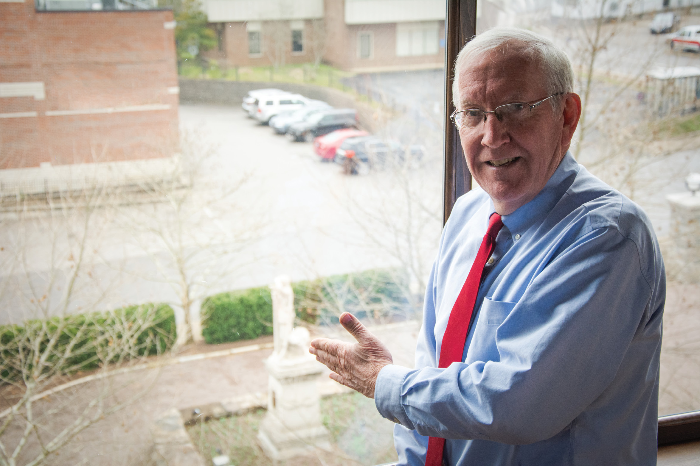
Bruce gestures to the statue-filled park the company built next to its headquarters. The company is heavily invested in the revitalization of Maysville.
We had done numerous demos. I had personally done many demos, no sales. The first sale of a new product is always the most difficult. I was there I think in August ‘96. And he had a stockpile. And it was a 95-degree day, brutally hot. And he said, “I’ve flown that stockpile. I know the volume by aerial photography. If you could walk that stockpile and come back and process your data off your Ashtech GPS there with your data collector and match those numbers, I’ll buy it.” He just put it out there, “I’ll buy it because then we won’t have to hire all this expensive aerial photography.”
Well, I was a former marathon runner, but I nearly passed out in that 95 degree heat. Why? Because I wanted to get every break point and get that stockpile volume exactly right. We had break lines at that time in our office software so I could define, through feature codes, the break lines. I had to get the dozer road going up the pile, plus the top, plus the whole base going around it, to define the perimeter. Brought it in, did the download, and in just a minute or two, ran the calculation because we obviously had volumetrics and contouring at this time. And I said, “Here’s the volume.” He had kept from me the volume he got from aerial photography. It matched within 1%.
And then of course I joked with him, I said, “It’s a shame they were off so much.” But on that basis he bought. And that was our first sale, and it was a domino. Once we got that first sale, many other sales occurred.
As a land surveyor, and writer about infrastructure, it always seemed to me that Carlson had better, more intuitive interfaces.
I’ve got a couple confessions there to make. First of all, I’m not a good user of software. If I try to use other software, if I try to use Adobe Acrobat or Excel, I’ll do everything possible wrong. I don’t know why that is, but I have to have an extremely obvious self-explanatory interface for me to be comfortable in any software. So I have that as a force in our own software. It has to be patently easy for me to use or I complain and give directives to our programmers to make it easier. I don’t like the extra clicks. I don’t like having to go through three doors to get to the most commonly used command. So that’s one of the issues.
Another reason for our emphasis on simplicity of interface is that like many of the startups of the early 1980s, we were exposed to a great surveying package from Hewlett Packard on the 9815 and other versions of their hardware. They got out of surveying by the late 1980s, but they had some really great genius concepts of simplicity. And I just completely fell in love with the 9815 and its coordinate geometry, which had this particular aspect.
We echoed much of the fluidity of that early software in our original programs and tried to make it even more intuitive to users. As we’ve added more power routines over the years, and more subtle options, this remains the biggest challenge to this day—how to add power and feature sets yet keep the software simple and intuitive. I believe we have done a good job achieving this.
Angus Stocking is a former licensed land surveyor who has been writing about infrastructure since 2002.