 The NGS map provides the ability to view multiple datasets provided by the National Geodetic Survey. These datasets are:
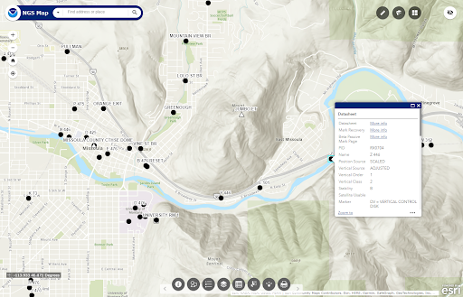
This application not only allows users to plot these datasets but there is a measuring tool available, multiple basemaps, a select tool to select and export data as well as an attribute table to view all the attributes and filter the datasets by their attributes.
Please note: NGS provides authoritative geodetic control information on NGS Datasheets. OPUS shared solutions do not have the redundancy or quality assurance required by NGS and are not intended for use as geodetic control.
Frequently Asked Questions
How often are the data updated?
All data is updated monthly. For the most up-to-date information for the Datasheets, CORS and OPUS layers, please use the following web sites:
Do I need an ArcGIS Online account?
No, you do not need an ArcGIS Online (AGOL) account to use this tool.
Does this replace the NGS Data Explorer?
No, this is a complementary product. The NGS Data Explorer remains available to search for and access datasheet information.
How do I provide feedback on the NGS Map?
Email ngs.feedback@noaa.gov with your comments and suggestions at any time.
Learn More
Visit the new NGS Map page. NGS created the NGS Map Basic Tutorial and the NGS Map Advanced Tutorial to help familiarize users and teach them how to use this new mapping application.
The NGS Map now in Production
The NGS Map has been released into production after beta testing. We always welcome feedback about our products and services.
Email ngs.feedback@noaa.gov with your your comments and suggestions at any time.
