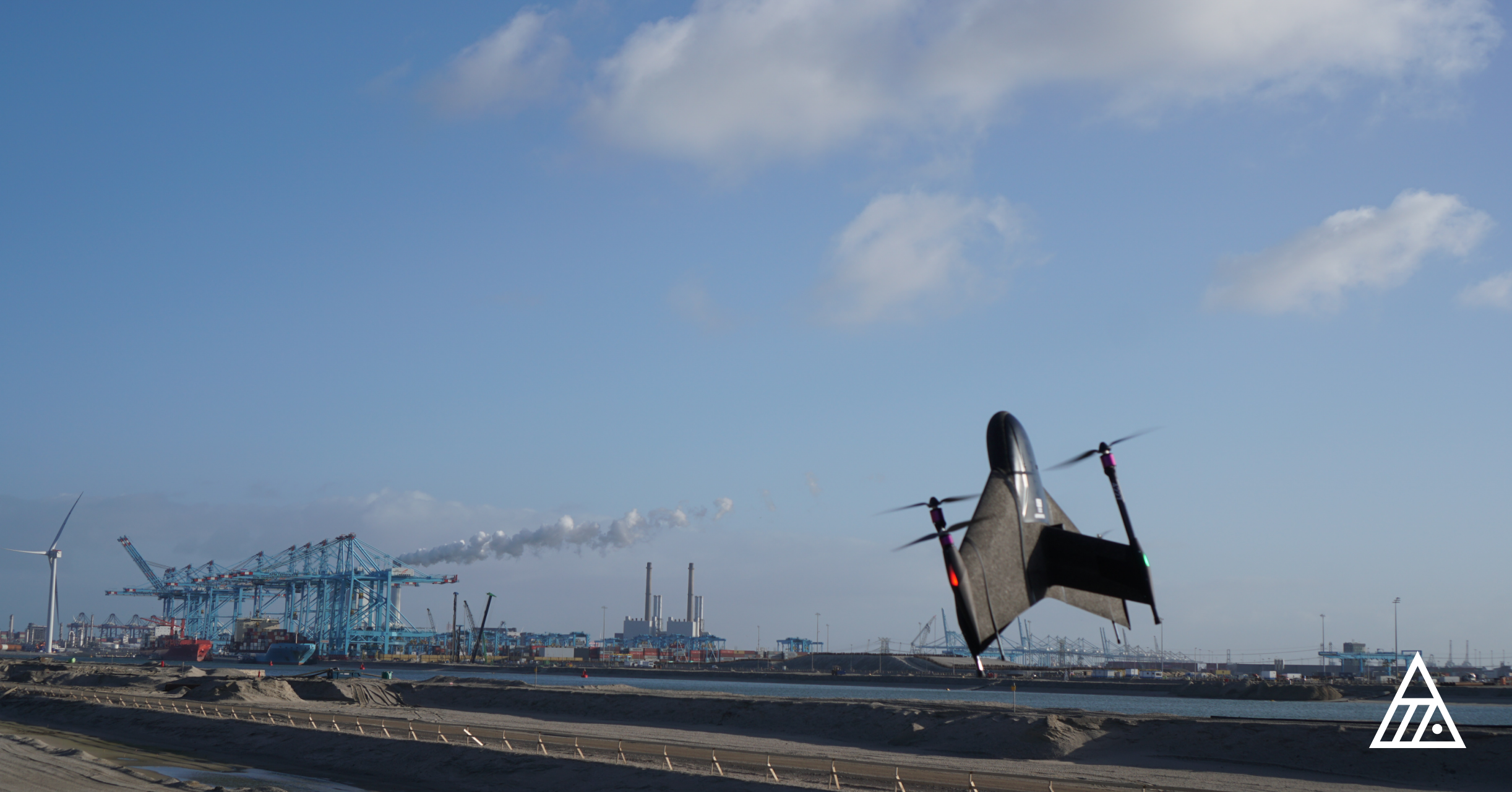
Marlyn Cobalt survey drone, Netherlands
Netherlands, May 24th, 2022 – Atmos announces a new wide-ranging technical arrangement with Topcon Positioning Group for the supply of Topcon high-end GNSS boards for the Atmos Marlyn Cobalt drone. As an industry leader in the global construction, geospatial and agriculture markets, Topcon has developed and optimised GNSS boards for highly precise positioning applications.
Drones can drastically reduce the costs of surveying, while at the same time offering great efficiency and safety in the field. Next to surveying and GIS, survey drones are now used in a broad spectrum of applications ranging from construction and mining to agriculture and environmental monitoring. Companies and organizations around the world are increasingly implementing drones, while experiencing high return of investment and great added value, especially compared to traditional surveying methods.
The Atmos Marlyn Cobalt, globally available through a fast-growing distribution network, is the VTOL fixed-wing mapping drone developed by Atmos with the goal of allowing users to effortlessly collect accurate geospatial information and turn it into actionable insights with great effectiveness. “Our mission is to provide professionals with the tool with which they can plan a better future with precision,” said Ruud Knoops, Chief Executive Officer at Atmos.
In order to provide precise positioning accuracy in surveying and GIS applications, a GNSS board needs to compensate for inaccuracies caused by satellite constellations, receiver hardware, and atmospheric conditions.
Additionally, with the use of Topnet Live (Topcon’s GNSS real-time correction service) a flexible subscription-based solution is available to further meet the unique requirements of users by offering high-accuracy positioning and survey-grade results to professionals through a 24/7 cross-border, consistent, and reliable access. This combination removes the need of base stations, dramatically increasing in this way efficiency leading to higher productivity and decreased costs.
“Keeping the needs of our users in mind, we try to take steps that will make their work easier and more efficient in the field, while delivering more accurate insights,” said Ruud Knoops. “We believe this partnership will add great value to our platform and streamline operations for our customers by creating an all-in-one surveying solution,” he concluded.
“Drones are an important part of the future of surveying,” said Ian Stilgoe, vice president of Global Emerging Business at Topcon Positioning Group. “Topcon is excited to continue supporting the UAV industry, and we believe that Marlyn’s performance combined with Topcon’s GNSS board and correction services will give users unprecedented results,” he added.
About Marlyn
Marlyn is the first fully autonomous hybrid (VTOL & Fixed-wing) drone for mapping and surveying. With its patented design that combines the best of both worlds, Marlyn can take-off vertically from anywhere, and map fast and efficiently producing high quality outputs for professional users. It is the only drone in its class that is built to perform even in harsh and windy conditions, while its easily swappable payloads provide operators with unprecedented flexibility.
About Topcon’s B111 GNSS board
Topcon’s board offers great functionality in a small package. The ultra-compact B111A GNSS receiver board can provide scalable positioning from sub-meter DGPS to sub-centimeter RTK positioning. The board’s flexible design—including its low power consumption, comprehensive communication interfaces and peripheral support—make it easy to integrate the B111A into any precise positioning application.
“The Topcon B111A board was straight-forward to integrate in our product, and met the specified performance at a competitive price point” commented Dirk Dokter, Head of R&D at Atmos. “Thanks to this collaboration with Topcon, we are able to offer our customers the advantages of Galileo, QZSS and Beidou on top of GLONASS and GPS, at no additional cost,” he concluded.
About Atmos
Founded in 2013, Atmos UAV is a Leiden (NL) based company specialised in the design and production of high-end aerial surveying and data collection drones that enable professionals to effortlessly gather geospatial data from the sky, enabling them to make more informed decisions. The flagship drone model Marlyn Cobalt has a worldwide unique design that combines the high performance of a conventional fixed-wing aircraft with the flexibility of helicopters. With its patented technology the company targets mapping, construction, mining, agriculture, environmental and related applications. To facilitate the fast growth of the company, Atmos is currently attracting new talent to expand the team and scale-up the production.
Location: Hangaargebied, Marinevliegkamp 356, 2236 ZZ Valkenburg, The Netherlands
Phone: +31 (0) 15 744 0321
Email: sales@atmosuav.com
About Topcon Positioning Group
Topcon Positioning Group, always one step ahead in technology and customer benefits, is an industry leading designer, manufacturer and distributor of precision measurement and workflow solutions for the global construction, geospatial and agriculture markets. Topcon Positioning Group is headquartered in Livermore, California, U.S., while its European head office is in Capelle aan den IJssel, the Netherlands. Topcon Corporation (topcon.com), founded in 1932, is traded on the Tokyo Stock Exchange (7732).
Website: topconpositioning.com
