 This week’s record is of the Chesapeake and Ohio National Historical Park. This specific survey was accepted on Jan. 22, 2003, and depicts a segment of the C&O Canal just south of Cumberland, Maryland.
In November of 1823, the first Chesapeake and Ohio Canal Convention was held Washington, D.C., to garner support for the proposed project. Delegates from Pennsylvania, Virginia, Maryland, and D.C. were all in attendance. By December of 1823, President James Monroe, in his annual address, urged Congress to appropriate the funds for a survey of the proposed route.
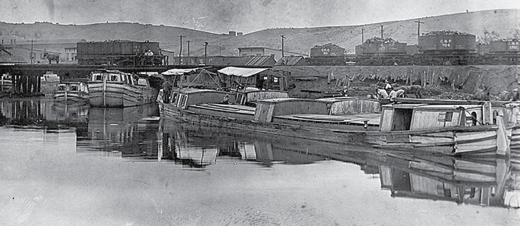
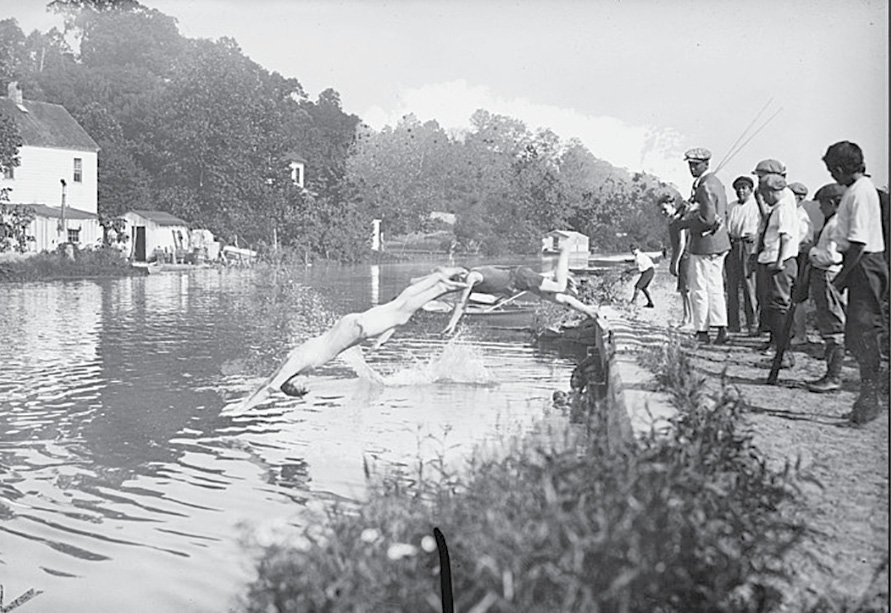
Canal boats being loaded with coal from rail cars in Cumberland, Maryland.
On Feb. 14 ,1825, the United States Board of Engineers made its preliminary survey report. The city of Cumberland, Maryland, had been following the progress of the surveyors closely in anticipation. When the estimated cost of the C&O Canal according to the Board of Engineers was returned, it was seen as far too high. In response, the president ordered a new survey to be completed by James Geddes and Nathan Roberts. They concluded that a canal could be constructed from tidewater of the Potomac in Georgetown, to Cumberland for around $4.5 million. Soon after, on May 24, 1828, Congress passed an act subscribing $1 million to the company’s stocks, and more investors followed.
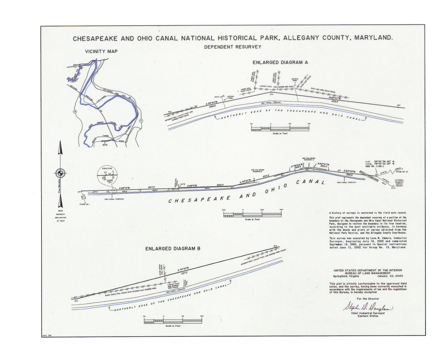 Today’s record was surveyed from July 16, 2002, to September 19, 2002. The reason for this particular survey was the structure located on the left side of the plat, a private building which had been constructed on National Park Service land. The survey crew was successful in locating many of the original stone survey markers which were set during the canal’s construction in the 19th century.
Unlike most of the surveys that the General Land Office maintains, this is one of the relatively few records which shows a Cadastral survey done in a metes-and-bounds state. In addition to conducting surveys in Public Land Survey System states, the Bureau of Land Management’s Cadastral Surveyors also help identify boundaries of government lands in the Eastern States.
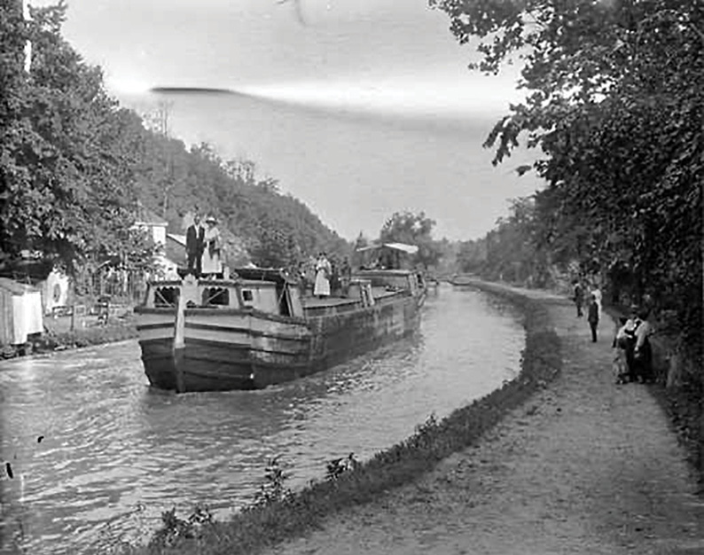
 Despite numerous setbacks during construction, the portion of the canal from Cumberland to Lock 72 was filled with water on June 23, 1850. Lock 72 sits not far south of the area surveyed on this week’s Record from 2003. More segments of the canal would be filled in the coming months, but from June to the canal’s opening in October this stretch of the canal was left filled with water. It was reported by the Cumberland Civilian on July 26th that people were chartering canal boats to take advantage of the new attraction.
The canal was fully completed on Oct. 10, 1850, and the city of Cumberland held a celebration to send the first five canal boats off towards Washington D.C.
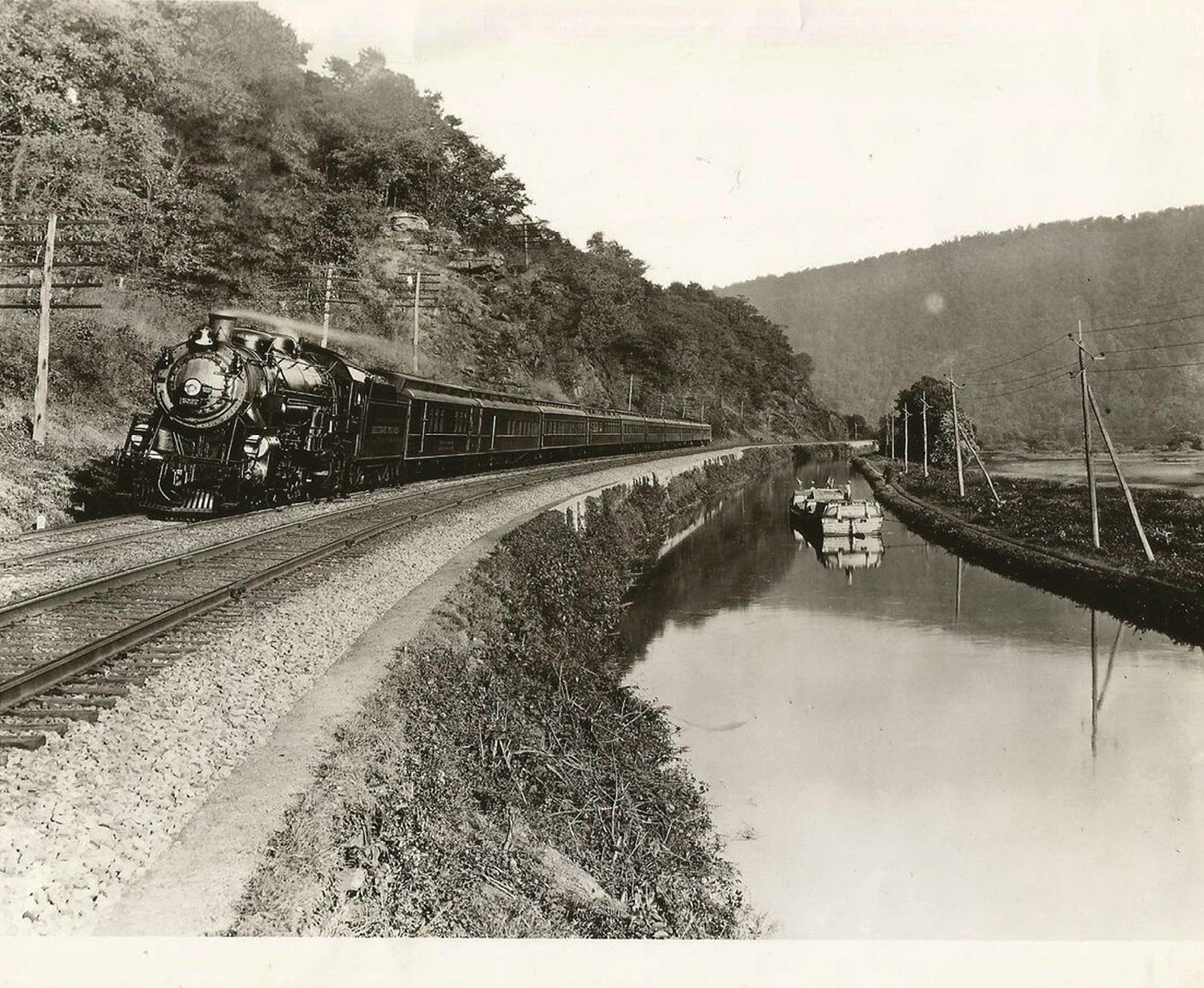
While originally planned to go all the way to Pittsburgh, Pennsylvania, the canal would never go further west than Cumberland. The numerous setbacks during its construction resulted in the B&O Railroad actually beating the canal to Cumberland in 1842.
 The Baltimore and Ohio Railroad (B&O), as well as the Western Maryland Railroad, can both be seen here in the 2002 survey. They both paralleled the canal, as the Potomac River often cut the shortest route through the mountains.
The B&O Railroad actually broke ground on the same day as the C&O Canal—July 4, 1828. Competition between the two was high during construction, with each company levying injunctions against the other to stall construction and obtain right-of-way. By the 1870s, the canal was bringing economic prosperity to Cumberland and the surrounding areas. It was moving vast amounts of cargo, and industries grew around the area to support the growing business. Other than coal, its largest business, boats transported other bulk goods such as lumber, wheat, flour, iron, and limestone.
 The railroads were eventually too much for the canal to compete with directly, and a devastating flood in 1889 led to the canal being purchased by its largest rival, the B&O Railroad.
The canal would continue on until 1924, when another major flood left it too damaged to continue.
In 1971, the Chesapeake and Ohio Canal National Historic Park was created. The National Park Service has maintained the original towpath as a popular bike trail. Today, bikers can ride 184.5 miles from Cumberland to D.C. You can also rent one of several historical houses along the canal!