 Montreal, Canada, November 9th, 2021 – SimActive Inc., a world-leading developer of photogrammetry software, announces the use of its Correlator3D product by Redefined Horizons in Northern California for land development applications. In conjunction with conventional ground survey, Skydio drone imagery is used to create accurate maps of existing parcels for future land development.
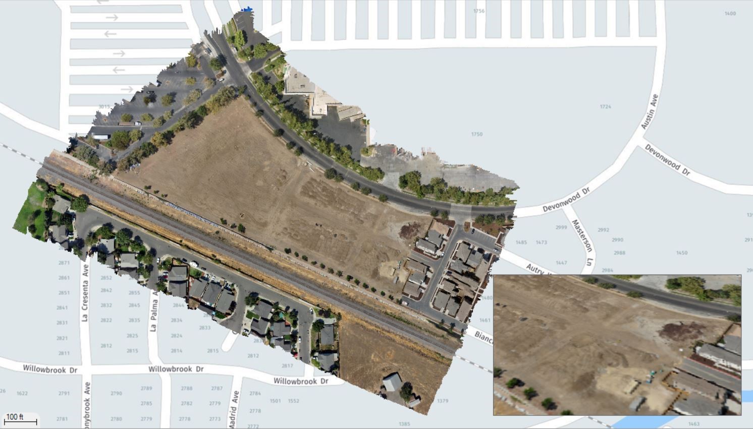
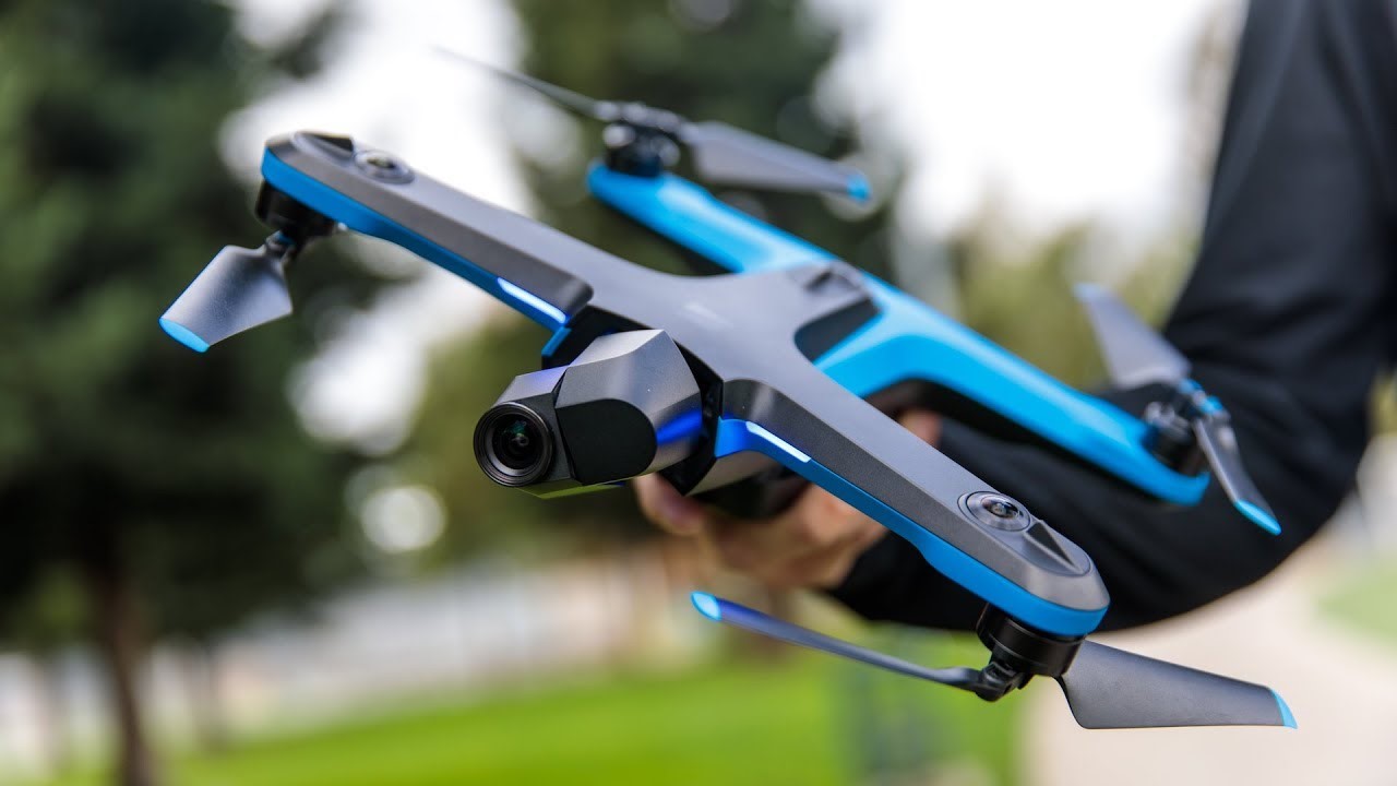 In urban areas of Northern California, there are many parcels that sit unused as if abandoned. As these parcels become more valuable, inevitably a developer will begin the development process which requires a site survey. It is in these smaller in fill situations that drones excel. Lightweight, and with very little visible footprint, small drones such as the Skydio2 can quickly capture the imagery needed for mapping.
“Correlator3D was developed to work with any drone platform while the workflows remain virtually the same”, said Brian Leiser, Principal at Redefined Horizons. “There is no new learning curve, we can trust the software to repeatedly provide high-quality results.”
About Redefined Horizons
Established in 2019, Redefined Horizons is a surveying and mapping company headquartered in Northern California. Operating various UAS, Redefined Horizons acquires imagery and process data on projects throughout the US. For more information, visit www.redefinedhorizons.com.
About SimActive
SimActive is the developer of Correlator3D™ software, a patented end-to-end photogrammetry solution for the generation of high-quality geospatial data from satellite and aerial imagery, including drones. Correlator3D™ performs aerial triangulation (AT) and produces dense digital surface models (DSM), digital terrain models (DTM), point clouds, orthomosaics, 3D models and vectorized 3D features. Powered by GPU technology and multi-core CPUs, Correlator3D™ ensures matchless processing speed to support rapid production of large datasets. SimActive has been selling Correlator3D™ to leading mapping firms and government organizations around the world, offering cutting-edge photogrammetry software backed by exceptional customer support. For more information, visit www.simactive.com.
