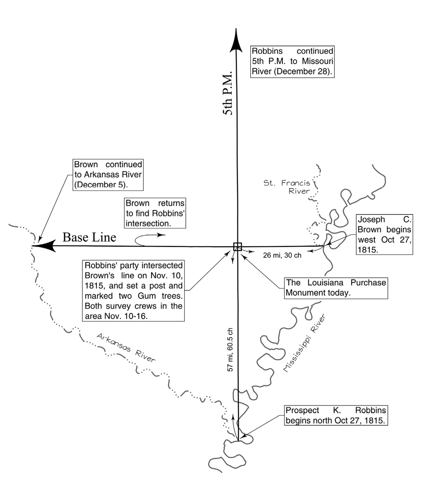
The Initial Point, being the crossing point of the north-south and the east-west survey lines of the 5th Principal Meridian. Courtesy of Elgin, The U.S. Public Land Survey System for Missouri (2016)
In 1816, Rector was appointed Surveyor General of the Illinois, Missouri, and Arkansas Territories when the Arkansas Territory was carved out of the Missouri Territory. Rector’s position was second in importance only to the Commissioner of the General Land Office in Washington, D.C. Most of the 3.5 million acres of surveyed Bounty land in Illinois were overseen by the Rector brothers. Weather conditions and the delayed finalization of an Indian treaty prevented any surveying until late summer of 1816, but the Illinois Bounty survey was finished in 1817. In the same year, a former clerk in the General Land Office in Washington, D.C., Nicholas Biddle Van Zandt, published a booklet entitled A Full Description of the Soil, Water, Timber, and Prairies … Between the Mississippi and Illinois Rivers.1 In this booklet are comments such as “rich farming land”, “spoon River…beautiful stream, navigable for larger boats”, “very rough, broken land”, “not fit for cultivation.”
All of these comments were meant to guide the War of 1812 veterans to the best land. Van Zandt’s booklet goes on to describe the other remaining Illinois lands that had been surveyed. John Gardiner, Chief Clerk in the General Land Office headquarters in Washington, D.C., self-published in 1817 a map of the Illinois Bounty land surveys supervised by William Rector. It is safe to say that the Rector family were responsible for the surveys of most of Illinois by the time Illinois became a state in 1818. Their names appear on hundreds of township plats.
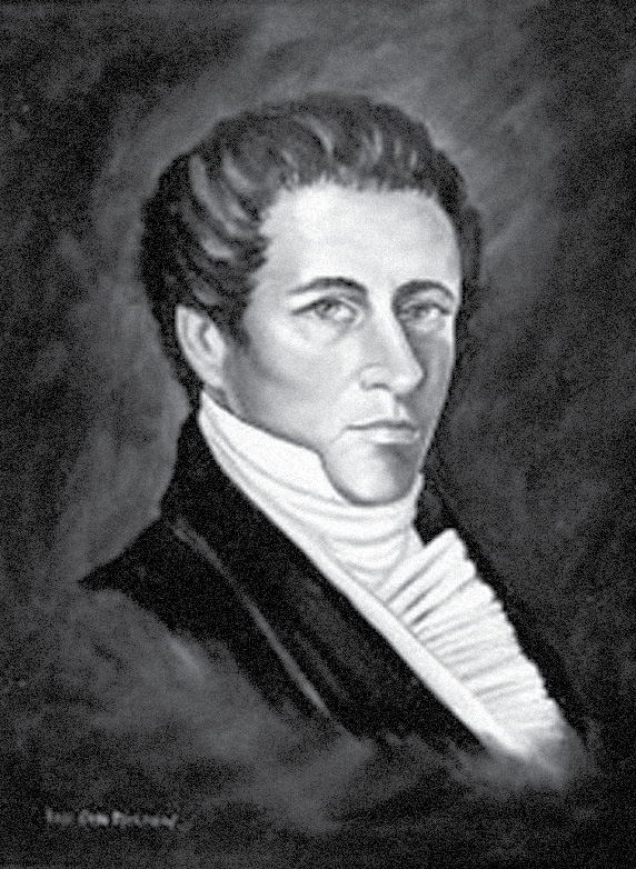
James Sevier Conway, First Arkansas Governor (1836-1840). Credit: Wikipedia.
William relocated to his new headquarters in St. Louis after the Illinois work was essentially completed. Brothers Elias, Wharton, Nelson, Thomas, and Stephen also relocated to the Missouri Territory. The Fifth Principal Meridian was in place, and surveys began. Problems arose in Missouri because of the prior land ownership claims of French settlers in these Louisiana Purchase lands. A second problem was the massive earthquake of 1812 at New Madrid, Missouri; new lands were set aside for those settlers whose land had become unusable. The surveys of 2.5 million acres of Missouri Bounty land and new land to replace the land lost in the earthquake were completed in 1818, but it took three years to clear titles and confirm earthquake losses. The surveys of the 6 million acres of Military Bounty Land directed by Congress were now completed. Also, in 1818, William Rector’s survey work was incorporated in a map of the western United States compiled by Isaac Roberdeau of the office of the U.S. Topographical Engineers. The map was signed by Josiah Meigs, Commissioner of the General Land Office. Although never published in its original 1818 format, Rector’s map was cited in reduced format in Gouverneur K. Warren’s 1859 Memoir. This report was published at the conclusion of the Pacific Railroad surveys and included a brief account of various exploring expeditions and maps that contributed data for Warren’s landmark map of the West.2
In late 1818, the major surveying efforts were now focused on the southeastern portion of the Missouri Territory. Josiah Meigs, Commissioner of the General Land Office, wrote to William Rector:
“The Secretary of the Treasury is desirous of having lands prepared for sale in the county of Arkansas [part of the Missouri Territory]. You will, therefore, please to cause to be surveyed about 60 townships, and subdivided as usual. If this quantity of saleable lands cannot be found in one body, the subdivided townships may be connected, by surveying the intermediate lands into townships only.”3
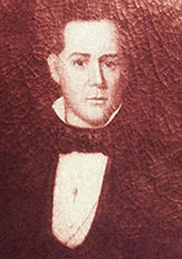
Elias Nelson Conway, Fifth Arkansas Governor (1852-1860). Credit: Wikipedia.
Of the Rector brothers, only Elias, Wharton, Stephen, and Thomas were still active Deputy Surveyors. The next generation of Rectors and other related kin had begun to enter the survey business: Wharton Rector’s sons Wharton Rector, Elias Rector, and William Vance Rector; Elias’s son Henry Massie Rector and brother-in-law Lucius Thruston; Stephen Rector’s son Thomas Rector; Nancy Ann Rector Conway’s sons Frederick Rector Conway, James Sevier Conway, Elias Nelson Conway, Thomas B. Conway, and Henry Wharton Conway; other Rector sisters’ male in-laws: Kimber W. Barton, Charles Lockhart, and Enock Steen. There were also family relatives with the names Pelham, Shields, and Sheppard. By year end 1819, 60 townships, equal to nearly 1.4 million acres of land were designated and then surveyed. Between 1816 and 1823, William Rector had hired 62 Deputy Surveyors, 12 of whom were Rector relatives. According to the Missouri Society of Professional Land Surveyors, these particular Rector contracts covered more than 5 million acres.4 A number of the Rector Deputy Surveyors worked along the line of the important Fifth Principal Meridian, the lengthy north-south line that was established before any other surveying could begin.
In the summer of 1818, the Bank of the United States changed monetary policy. They demanded payment of all outstanding land notes and refused to issue new loans. Congress now demanded cash sales on all lands sold. Many persons who had purchased land on credit could not pay when their loans became due. Notes submitted by state and local banks, normally cashed by the U.S. bank, were refused. The entire banking system ground to a halt. President Monroe re-appointed William as Principal Surveyor General in 1819.
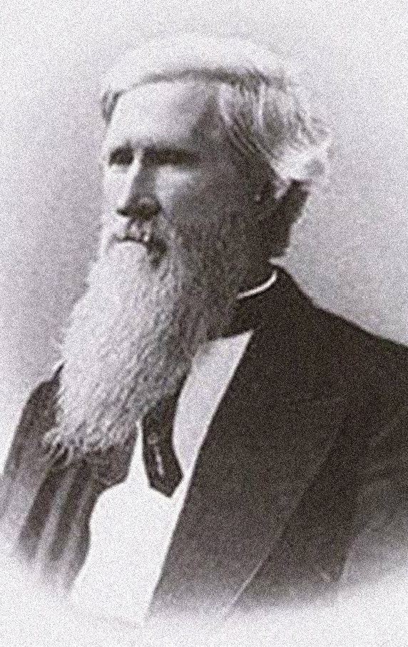
Henry Massie Rector, Sixth Arkansas Governor (1860-1862). Credit: Wikipedia.
Apparently, Rector was not advised of the need to slow the surveying program. From 1816-1823, he presided over the largest surveying organization ever put together under one man, using it to survey most of Illinois, Missouri, and Arkansas during his short tenure. In Missouri alone, William issued 98 surveying contracts, 19 to family relatives. In 1821, he proposed to survey 559 Townships at a cost of $120,000. By the time the General Land Office Commissioner became aware of the program, it was too far along to stop. From 1818-1822, Rector oversaw the survey of more than 98,000-line miles. Three other Land Office Districts combined had surveyed only 123,000-line miles during the same period. In 1822, he surveyed the location of the city of Chicago. At the time, the population was fewer than 100 people. In addition to his surveying responsibilities, he was elected a director of a prominent local bank in St. Louis in 1817 and was a delegate to Missouri’s constitutional convention in 1820.
General Land Office Establishes More Regulations
William Rector was due to be reappointed to his position again in 1823. Missouri Senator David Barton, who chaired the Senate Committee of Public Lands and whose family were political rivals of the Rectors, brought charges against William for hiring so many relatives and personal friends. He also charged William with not managing the contracts closely. It was a lucrative system for certain senior surveyors, and no rules prevented it. During the 1816-1823 period, Surveyor General Rector would secure a project budget from the General Land Office. He would then hire his Deputy Surveyor family members and friends with a lesser budget, and the Deputy Surveyors would hire the crews with an even lower budget. Surveyors were traditionally paid by the number of acres surveyed. There were clearly some instances of shoddy work, but few complaints were lodged. The practice of hiring friends and family continued, and the dynasty continued to thrive and expand. The Rector-Conway families produced a total of 22 Deputy Surveyors who worked in Arkansas starting in 1815. There were almost certainly more family surveyors participating in the surveys of Missouri. President Monroe re-appointed William Rector to his Surveyor General position. But while William was still in Washington, D.C. defending himself, St. Louis newspapers began printing slanderous articles about the Rector dynasty. William’s brother Thomas determined that Senator Barton’s brother was the source for these articles. Thomas challenged him to a duel on Bloody Island in the Mississippi River off St. Louis and killed him. The St. Louis population was horrified. In early 1824, President Monroe then revoked William Rector’s position. William’s dismissal was probably part politics, part jealousy, and part oversight failures. The practice of subcontracting was ended. Rector retired and died a year later.
Missouri, Arkansas, And New Mexico Territories: The Dynasty Ends
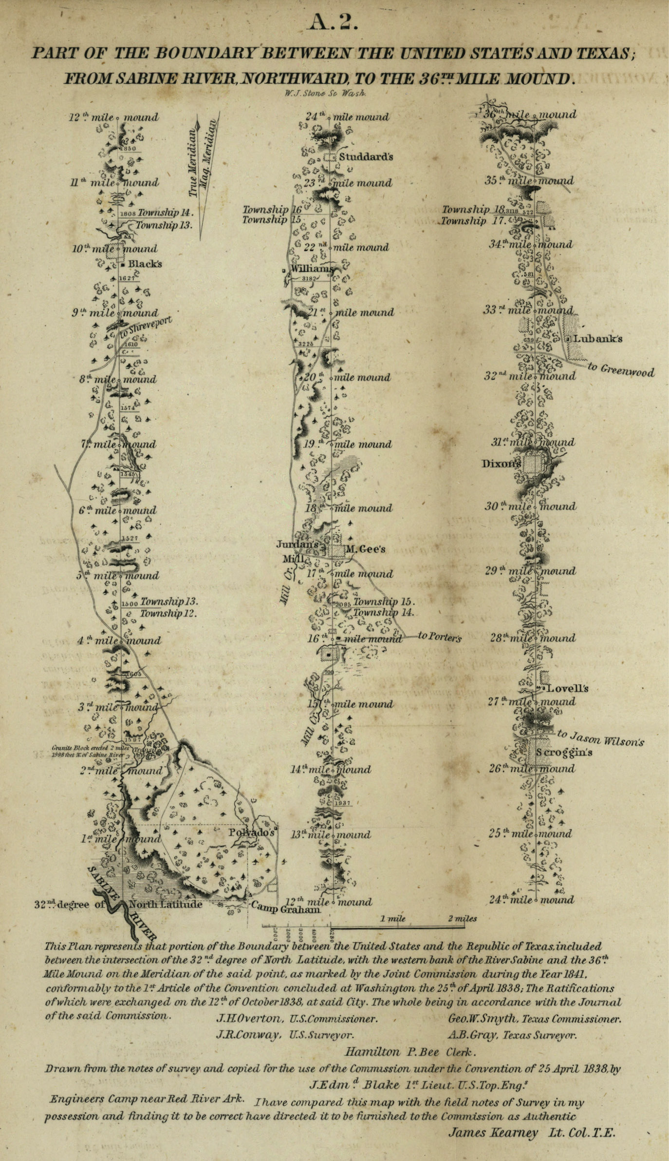
Map showing part of the boundary between the United States and the Republic of Texas as surveyed by John R. Conway. Credit: Part of the Boundary of the United States and Texas. 27th Congress, 2nd Session, Serial 397, Senate doc. 199, map 2 (Washington, DC, 1841). Courtesy of Geography and Map Division, Library of Congress.
Four more family members rose to senior survey positions after William’s passing. Second-generation Frederick Rector Conway began his working career as a Deputy Surveyor. He left the General Land Office organization to pursue other interests. Later on, he became Recorder of French and Spanish land claims in Missouri, Arkansas, and Louisiana. In this capacity, he was one of three Commissioners who arbitrated these claims. But he returned to surveying when appointed Surveyor General of Illinois and Missouri from 1845-1849, a senior position in the General Land Office. James Sevier Conway, brother of Frederick Rector Conway, began his career as a Deputy Surveyor, then advanced to Surveyor General of Arkansas from 1832-1836. He was then elected the first Governor of Arkansas in 1836. Henry Massie Rector, a first cousin of brothers Frederick, James, and Elias (See Elias below.), served as a U.S. Marshall, then Arkansas State Senator 1848-51, Surveyor General of Arkansas 1853-1857, Arkansas Supreme Court Justice 1858-59, and sixth Governor of Arkansas in 1860. William Pelham, brother-in-law of Fredrick Rector Conway, served as Surveyor General of Arkansas from 1841-1849. He became Surveyor General of New Mexico from 1854-1860. Conway, Arkansas, a city of 750,000 people, was named for James Sevier Conway.
Other Rectors and Conways held survey positions early in their careers, but most moved on to pursue other careers and political offices. The importance of surveyors made new careers and political offices possible for those eager to assume them. Elias Nelson Conway, brother of Frederick Rector Conway, also began his career as a Deputy Surveyor, moved on to Arkansas State Auditor and became the fifth Governor of Arkansas in 1852. Henry W. Conway was a Territorial Congressman, Postmaster of St. Louis, and General Land Office Receiver of Public Money. William B. Conway became an Arkansas Supreme Court justice. Ambrose Sevier, another first cousin of the Rectors and Conways, became a U.S. Senator from Arkansas and oversaw the General Land Office Register. Of course, not all family members leaving the surveying business achieved high office.
Final Observations
Americans were eager to move beyond the Appalachian Mountains to the lands of the Northwest Territory and the Louisiana Purchase. Americans were dedicated to making a better life for themselves and their families on the frontier. Surveying was a well-respected occupation in the 18th and 19th centuries because of its technical nature and the demand for new land as a new beginning for American families.
There was no doubt that the operations of the local Land Offices were manipulated for the benefit of insiders as well as providing land for the general population. Insiders included not only the employees of the Land Offices, but also local politicians. They identified the best lands, and they had the ability to buy these lands. They also had the ability to purchase defaulted notes from the original landowners at bargain prices. Some senior surveyors used their surveyor status to obtain high political office, securing influence and status. But, the Dynasty accomplished much. The states of Illinois, Missouri, and Arkansas comprise nearly 120 million acres. The Dynasty surveyors probably oversaw the surveys of as many as 30 million of those acres. The sheer manpower brought to the task of surveying these millions of acres was daunting. Its members helped to complete this task, but anti-nepotism rules were later imposed on the Surveyors General as the land survey system matured. The Dynasty phenomenon was not likely to be duplicated in any case.
Larry Caldwell is a collector of maps showing the progression of the settlement of America. Several years ago while researching his family roots, he came across the Rectors and Conways. His great-great grandmother married Frederick Rector Conway in 1859. A longer version of this article was published in the 109 Winter Issue of The Portolan—Journal of the Washington Map Society.
Endnotes
1 Nicholas Biddle Van Zandt, A Full Description of the Soil, Water, Timber, and Prairies of Each Lot or Quarter Section of the Military Lands Between the Mississippi and Illinois Rivers (Washington, D.C.: Printed by P. Force, 1818), passim.
2 Gouverneur K. Warren, Memoir to Accompany the Map of the Territory of the United States from the Mississippi River to the Pacific Ocean: Giving a Brief Account of Each of the Exploring Expeditions since A.D. 1800, with a Detailed Description of the Method Adopted in Compiling the General Map (Washington, D.C.: 1859), p. 23 and plate 2.
3 Letter from Josiah Meigs to William Rector, July 20, 1818, reproduced in Carter, vol. 15, p. 417.
4 Steven Edward Weible, “GLO Subcontractors, Sub-Deputies, and Assistant Surveyors,” posted December 2016, on Etienne Hayseed. http://atnhayseed.blogspot.com/2016/. Accessed July 14, 2020. . Accessed July 14, 2020.