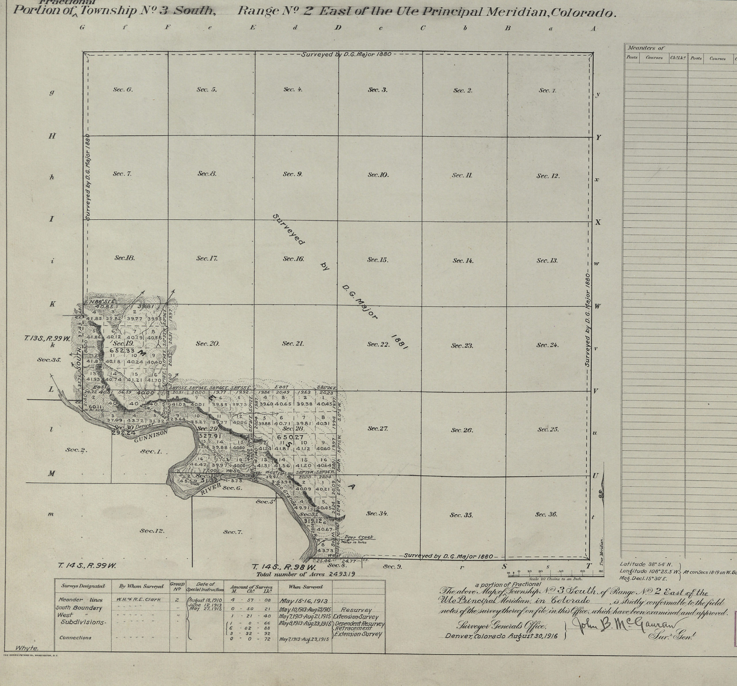
Portion of Fractional Township 3S, R2E of the Ute PM.
This GLO Record of the Week is about William Henry Clark (W.H. Clark), one of the first surveyors in what is now the Dominguez-Escalante National Conservation Area (NCA), administered by the Bureau of Land Management (BLM) south of Grand Junction, Colorado.
About W. H. Clark
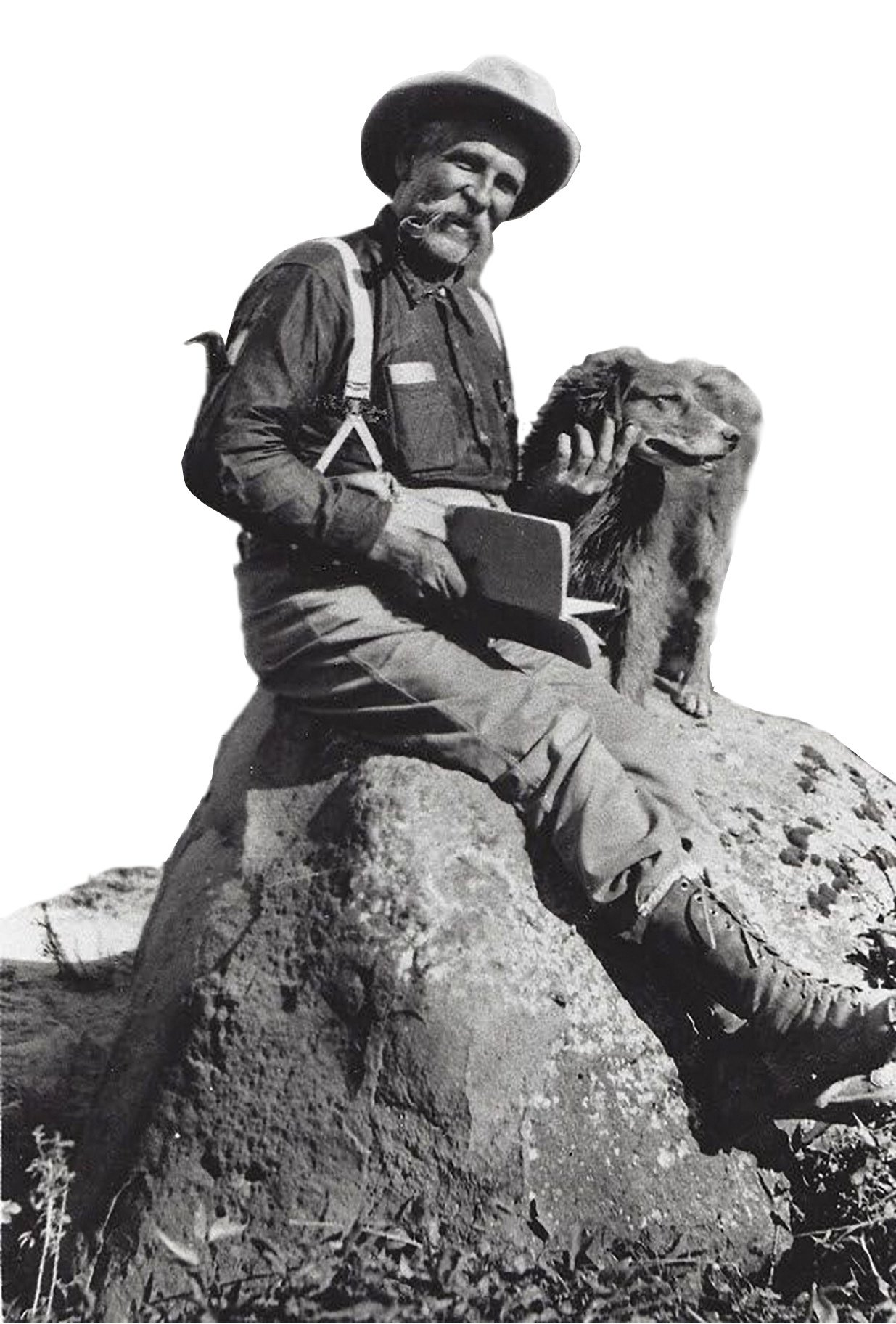
William Henry Clark
Clark was born in Iowa and moved to Rio Blanco County, Colorado, in 1880. He studied civil engineering and used his professional knowledge to assist in cadastral surveys in undeveloped Meeker, Colorado, and adjoining counties.
In July 1881, Clark was named Deputy Land Surveyor for Colorado. During President Warren Harding’s term in October 1921—a full 40 years later—acting Secretary of the Interior E.C. Turner appointed Clark to be the Surveyor General of Colorado.
A Mystery Unfolds
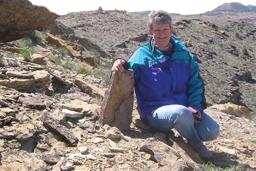
Katie Steele, William H. Clark’s great-granddaughter, with survey marker.
Between 1913 and 1915, W. H. Clark and U.S. Transitman Robert E. Clark resurveyed a portion of the south boundary of Township 3 South, Range 2 East, Ute Principal Meridian and meandered the right bank of the Gunnison River, resurveying and completing subdivisional lines.
Over a century later, a mystery developed when in 2018, Clark’s great-granddaughter, Katie Steele, noticed that a survey marker set by him was now missing.
Photo of survey marker
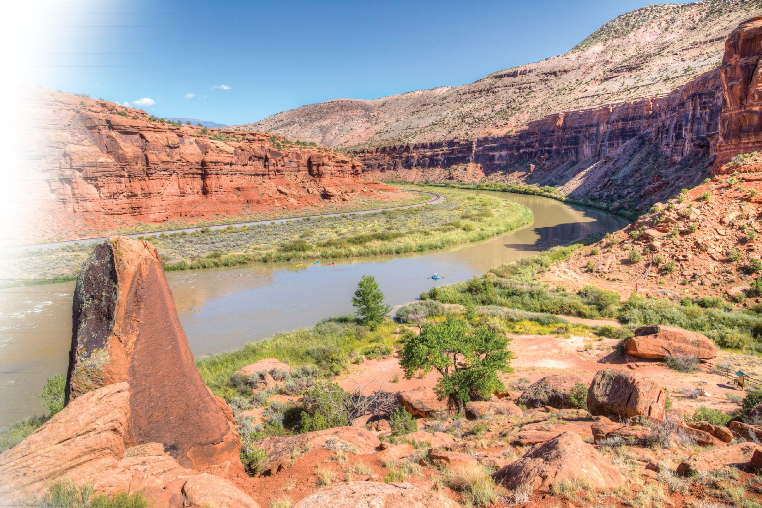
Survey marker overlooking the Gunnison River in the Dominguez-Escalante National Conservation Area.
Katie contacted the BLM NCA Manager and with the help of BLM cadastral surveyors, they discovered that the monument in question was not of record. It had never officially been recorded on the survey plat or in field notes approved by the General Land Office (GLO) on August 30, 1916.
During the official resurvey approved on November 22, 2017, the old monument was buried and the record amended. The 2017 resurvey corrected this defect from the GLO Survey of 1916—which had taken place almost exactly 100 years earlier!
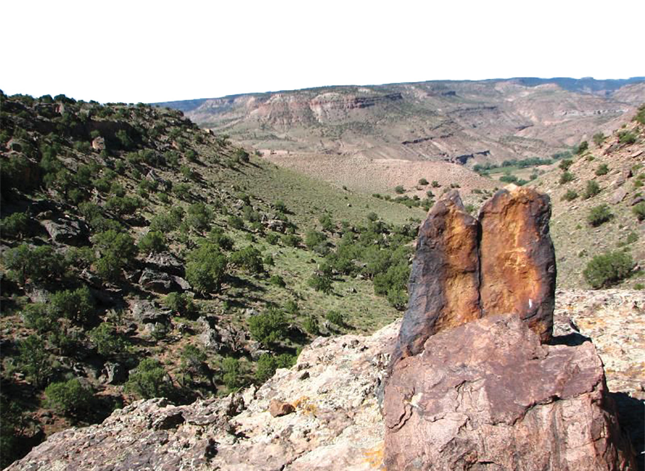
Survey marker in the Dominguez-Escalante National Conservation Area.
Two legitimate land corner monuments set by W. H. Clark and Robert E. Clark are located about a quarter mile west of this other marked stone.
Dominguez-Escalante NCA comprises 210,172 acres of protected public lands, and includes the 66,280-acre Dominguez Canyon Wilderness. The NCA was designated through the 2009 Omnibus Public Lands Management Act and is managed as one of the BLM’s National Conservation Lands units.
A Local Connection
Katie Steele grew up in Grand Junction and still lives in the area. She is actively involved with our public lands, having served on the Advisory Council for the Dominguez-Escalante NCA Resource Management Plan and currently serving on the Colorado Southwest Resource Advisory Council—one of 37 boards that provide invaluable recommendations on proposed BLM management actions leading to sustainable outcomes with broad public support.