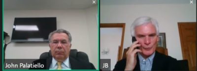
 The United States Geospatial Executives Organization ( U.S. GEO) today hosted a briefing by Congressman Bob Latta (R-OH) to discuss national broadband mapping.
Rep. Latta joined the monthly U.S. GEO virtual briefing, outlining his bill, the Broadband Deployment Accuracy and Technological Availability (DATA) Act (“Broadband DATA Act“), of which he was a primary sponsor. The bill passed Congress and signed into law earlier this year as Public Law 116-130.
The discussion with U.S. GEO participants focused on the need for new and more accurate broadband mapping, particularly to extend service to rural America, the role of mapping and broadband service to precision agriculture, and the ability of Congress to look to the future of technology, five years out, as does private business. Problems with the accuracy of the original broadband mapping funded during the Obama Administration under the 2009 “stimulus” bill were also raised. Many states expended federal funds for contracts to the lowest bidder, rather than through qualifications based selection (QBS) or awarded grants to universities that were neither qualified nor experienced to undertake a commercial, production project.
About U.S. GEO
U.S. GEO is a coalition of C-level executives (principals, owners, and partners) of the nation’s leading geospatial firms. Operating under my firm, John M. Palatiello& Associates, Inc., U.S. GEO is a collaboration among the most visionary and progressive professionals in the geospatial field. This organization will focus on things that have proven to work: networking and relationships among and between like-minded, high-ranking firm executives; advocacy, public policy, and a presence in Washington, DC and across the nation to grow the geospatial market; act as a safeguard against unfair government and university competition; and promote as well as defend quality as the foundation of professional services procurement. For further information on participation in U.S. GEO, visit the coalition’s website, www.usgeo.net.
