Maysville, Kentucky, USA (September 2019)— Carlson’s latest release of Civil and Hydrology 2020 brings intuitive UI upgrades that provide a more dynamic work experience along with advanced new features including improved surface model and pipe network design.
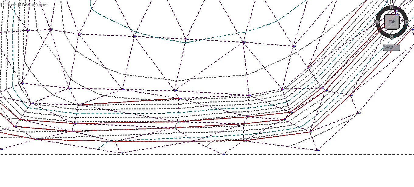 The upgraded TIN creation and editing utilities are now much more dynamic in their operation. Users can easily make edits with the upgraded Triangulation Surface Manager, track those changes, and apply them when new data is entered. With improved entity linking, points and breaklines automatically update the TIN when modified manually or from Field to Finish.
Triangulation Utilities such as Crop, Cut, Smooth, Simplify, Clean, and the new Carlson Surface Object are designed to work on large surfaces such as those from Point Clouds.
Site Design tools such as the new Draw Template Polylines for creating curbs and the updated Edit-Assign Polyline Elevations greatly improve the efficiency of designing and creating a 3D model.
Dynamic Labels for 3D points, slopes, and polyline vertexes make editing a plan much quicker and easier.
New specific commands for creating parking areas, enhanced curb ramps, and polyline tools aid in parking lot designs.
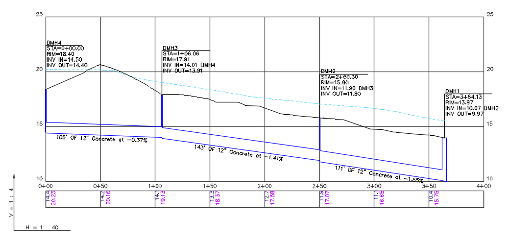
 The Hydrology module offers expanded support for HEC-RAS, EPA SWMM, and SCS routing. There are also enhancements to Culvert Design, Orifice Design, Chanel Lining Analysis, and the Spread Sheet editor, plus more reporting and advancements in utility line Collision Conflict Checking.
 Existing users will also be very happy with the new simplified pipe network database that reduces the need for supplemental reference files.
Carlson Civil and Hydrology together with Carlson Survey and Carlson GIS make up the Carlson Civil Suite (carlsonsw.com/civilsuite), which was recently ranked highest for product quality, support, price fairness, and technological leadership in a recently Clear Seas poll.
Along with Carlson Civil Suite for 2020, Carlson Software is also releasing the 2020 versions of Carlson Point Cloud, Carlson Mining, Carlson Natural Regrade, plus Carlson GeoTech, Carlson CADnet, Carlson Trench, and Carlson Construction (these latter four make up the Takeoff Suite, carlsonsw.com/takeoff), all featuring their own industry-specific improvements. Configure your own Suite of modules through our Select Suite program (carlsonsw.com/specials).
Outperform the competition with Carlson 2020, now available for upgrade or new purchase. For more information about other enhancements in this new release, visit the Carlson 2020 webpage, www.carlsonsw.com/2020.
An overview video of the full 2020 release can be found here: https://youtu.be/C2o1wqGPdZ8
About Carlson
Founded in 1983, Carlson Software Inc. specializes in CAD design software, field data collection, laser measurement and machine control products for the civil engineering, surveying, GIS, construction, and mining industries worldwide, providing one-source technology solutions for the entire project cycle. Carlson Software is headquartered in Maysville, Ky., U.S.A., with branch offices in Boston, Mass.; Almere, The Netherlands; Brisbane, Australia; Ottawa, Canada; and York, England.
