 Drones have been well documented as consumer photography and hobby products, and even made infamous by Jeff Bezos’ Amazon drone delivery vision. However, the proactive use of drones has the ability to save money, increase efficiencies and save lives. One company – Flight Evolved – is utilizing drones to save California from wildfires ahead of the year’s highly anticipated season.
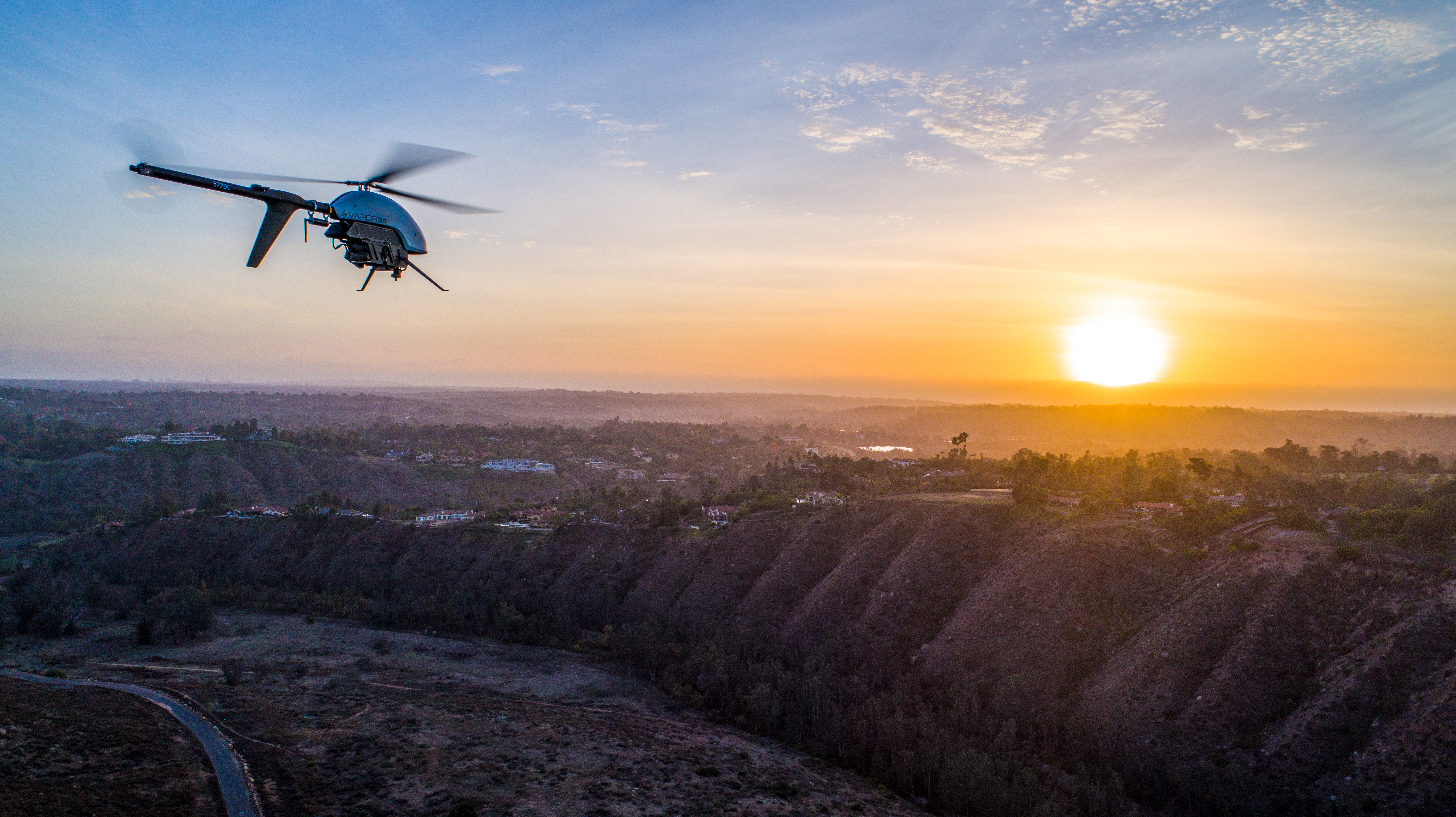
After the most devastating wildfire season on record, California’s largest utility providers are betting on drones, LiDAR remote sensing technology – same sensors auto manufacturers use for autonomous vehicles – and a small tea
What’s Happening:
All it takes is vegetation to creep within feet of a powerline or a hellacious gust of wind to slap high voltage lines together, uproot a pole or to snap a wire to send sparks flurrying to create an inferno. Unfortunately, the overwhelming leading cause of wildfires are human related, and powerlines and electrical equipment are routinely at the top of the list.
In 2017, many of the state’s most overwhelming fires were the result of or further enhanced by damaged or at-risk high voltage powerlines. It does not help that the nation’s most populated state had ideal wildfire conditions. With torrential winter rainfall that lead to rapid vegetation growth followed by bone-dry wind conditions, California was ripe for a massive burn. As a result, California state agencies spend nearly $1.8 billion after witnessing historic levels of wildfire death, destruction and displacement. Even worse, total estimates including fire suppression, insurance, and recovery expenditures is estimated at about $180 billion.
Utilities such as Pacific Gas and Electric and San Diego Gas & Electric need a readymade solution with actionable recommendations to prevent a devastating 2018 fire season and the team at Flight Evolved has the advanced and complete service for the task.
2018 Wildfire Mitigation Through UAVs and LiDAR:
How Flight Evolved Helps Utilities:
- LiDAR (Light detection and ranging)
- LiDAR is a surveying method that measures distance to a target by illuminating the target with pulsed laser light and measuring the reflected pulses with a sensor. Those readings are modeled into a digital 3D representation of the target.
- LiDAR is the same technology many auto manufacturers are currently using for autonomous driving.
- Flight Evolved affixes LiDAR sensors to its fleet of drones or Unmanned Aerial Vehicles (UAVs) to scan large swaths of terrain for utility companies.
- End-to-End Solution with Actionable Data
- Flight Evolved provides an end-to-end, turnkey solution that equips clients with actionable data.
- The team of experts at Flight Evolved handle everything from data acquisition to analysis to provide utilities with solution recommendations for sound vegetation analysis and fire risk mitigation.
- It’s a far superior solution to “data dumping” and expecting the utility companies to decipher the readings and create action. Flight Evolved provides tangible action steps whether replacing poles, trimming vegetation, or affixing advanced warning devices (SCADA) This all while giving insight to:
- At-risk and damaged poles
- Areas that require vegetation trimming to be in compliance with the state’s minimum distances of up to 10 feet between flammable vegetation and high- voltage lines and also mandates firebreaks around power poles.
- Increasing Efficiencies
- Flight Evolved is capable of covering vast swaths of the utility’s territory for a fraction of the price with a far superior and rapid solution.
- Utilizing UAVs with affixed LiDAR remote sensors is more cost and time effective than deploying manned crews to evaluate each and every one of the utility’s thousands of high voltage power lines. Further, manned crews are not able to asses each and every pole and line, especially those located in remote, tough to access locations. UAVs are capable of flying over far ranging areas and into technical, remote locations.
- Finds downed or damage lines and areas impacted by creeping vegetation all in the matter of days.
