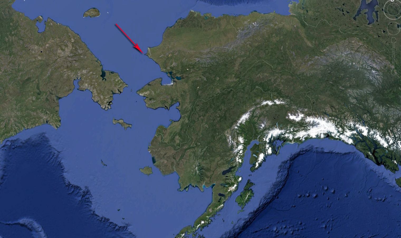
 Pt. Hope Alaska is almost as remote a location as you can get in Alaska. A point of land that juts out into the ocean where the Chucki Sea meets the Arctic Ocean. A barren area of sand, grass and lichen mat. One of the most continually inhabited areas of North America over the last 15,000 years plus due to its unique location in the path of Whale and Walrus migrations.
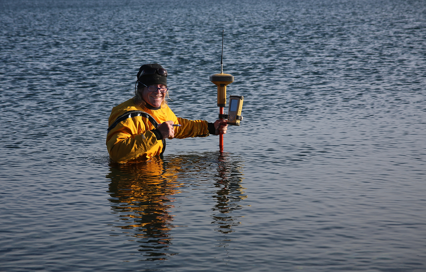
The population of about 650 are mostly subsistence hunters. The entire village is littered with whale bones. Which make up most of the headstones and fencing at the local cemetery where this picture was taken during a large topo survey for a realignment of the existing airstrip.
It was 30 miles south of this location where in 1958 the Atomic Energy Commision with their Project Chariot wanted to chain 5 thermonuclear devices together to blast a channel and a harbor out of an area of the coast. The people of Pt. Hope understandably had a problem with the concept of this construction project and were able to force a freeze on the explosions.
 After the project was shelved the Department of Energy decided to use the site anyway for studies of radioactive ejecta on water and tundra vegetation. They transported radioactive material from a 1962 Atomic bomb detonation at the Nevada test site and buried it here. This material was only discovered in 1992 and after another local population uproar ensued, the Dept. of Energy was forced to clean up the toxic material and soils.
A short video of the project can be found at http://www.vimeo.com/145750465
Share the spirit of land surveying, of experiencing and mapping the lay of the land: editor@amerisurv.com