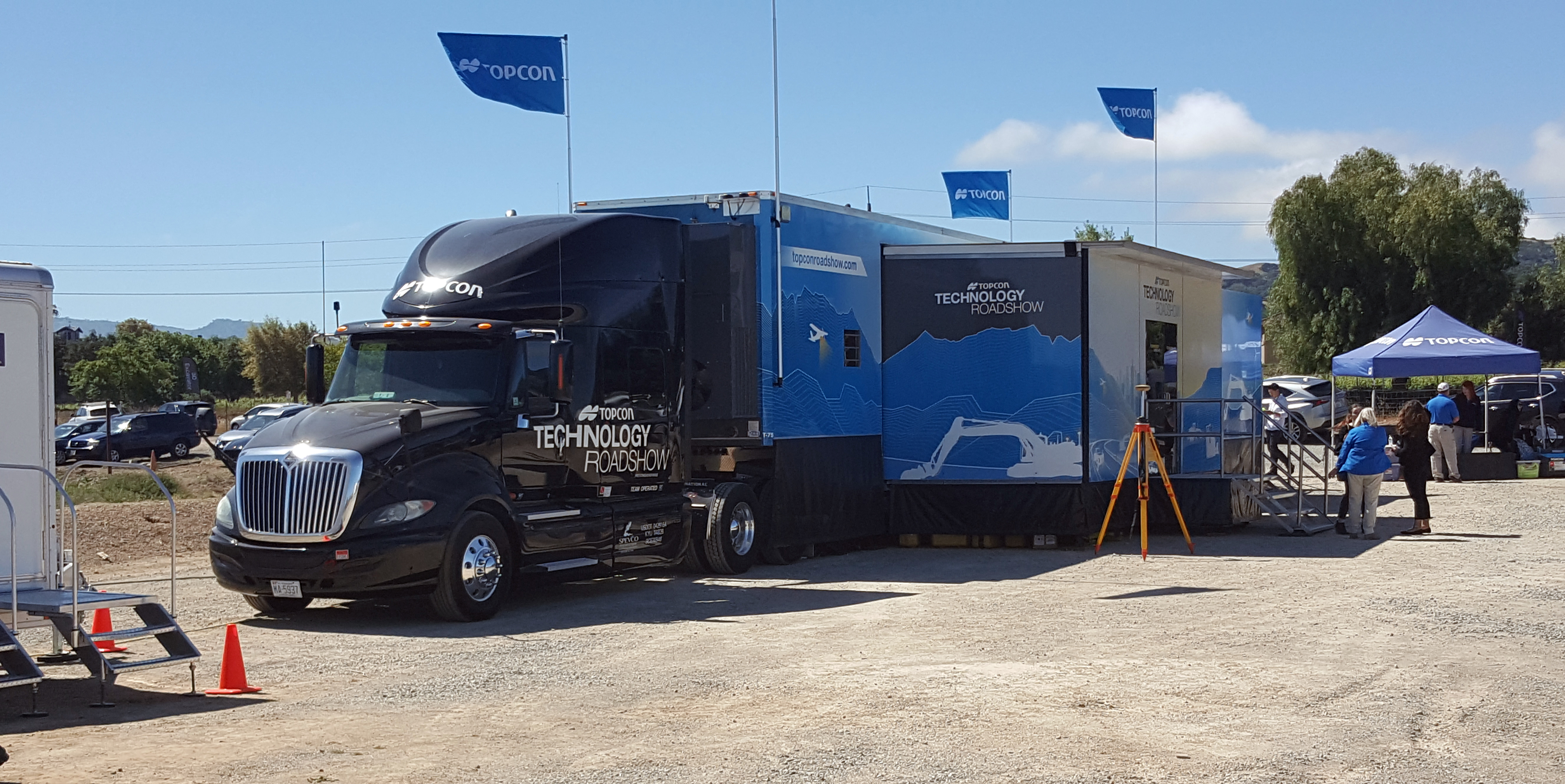
 Holy Toledo! Topcon is really hooking it all up at the Technology Roadshow this year. No doubt Topcon launches more technology from the cab of a gorgeous tractor trailer than a NASA Space Shuttle full of Hewlett Packard 41C calculators. My slap happy, gear jammin’, coffee drinking, truck driving fool of a brother would sell his CDL to the devil just have his rump cupped by this throne of the thoroughfares complete with a theater and exhibition booths.
There’s a historic significance among the technology featured at the Roadshow and Land Surveyors. The demonstrations at the show are a natural culmination of the evolution of our historic duties. We are in a golden age where the measurement technologies “of the future” have finally evolved into everyday tools and boy howdy these are exciting times! We are at “The Intersection of Infrastructure and Technology” in the words of Topcon CEO and President, Ray O’Connor. Even better, we’re the folks that understand the input, control, output and workflow of the automation. Topcon’s technology gives us the opportunity to get our snoots in any phase of a project that requires any and all sorts of measurement and modeling analysis. It beats the heck out of blue-topping, exploding hubs, dodging belly scrapers, crappy radios, dried up markers, rock solid clay…and so on.
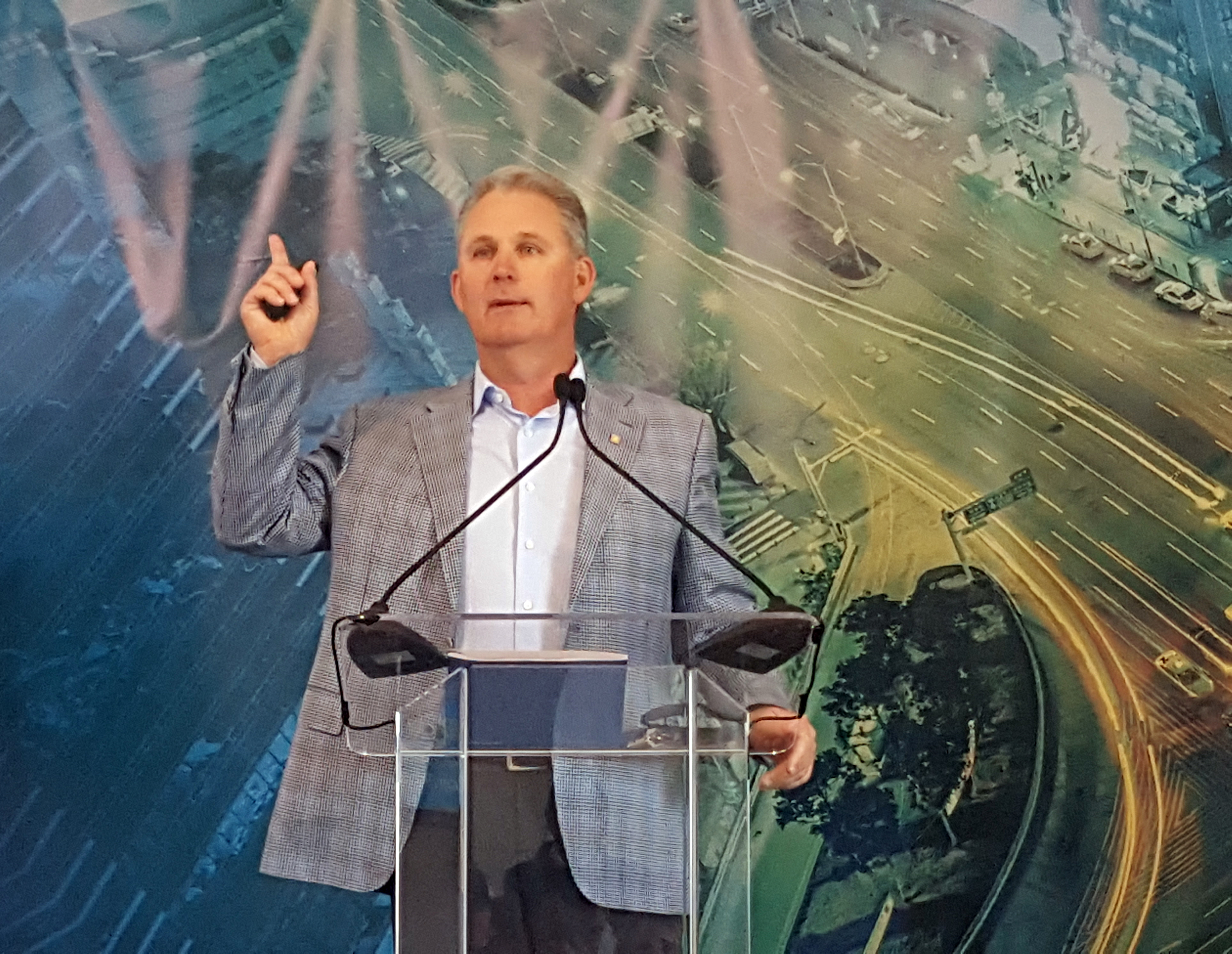
Topcon CEO and President, Ray O’Connor
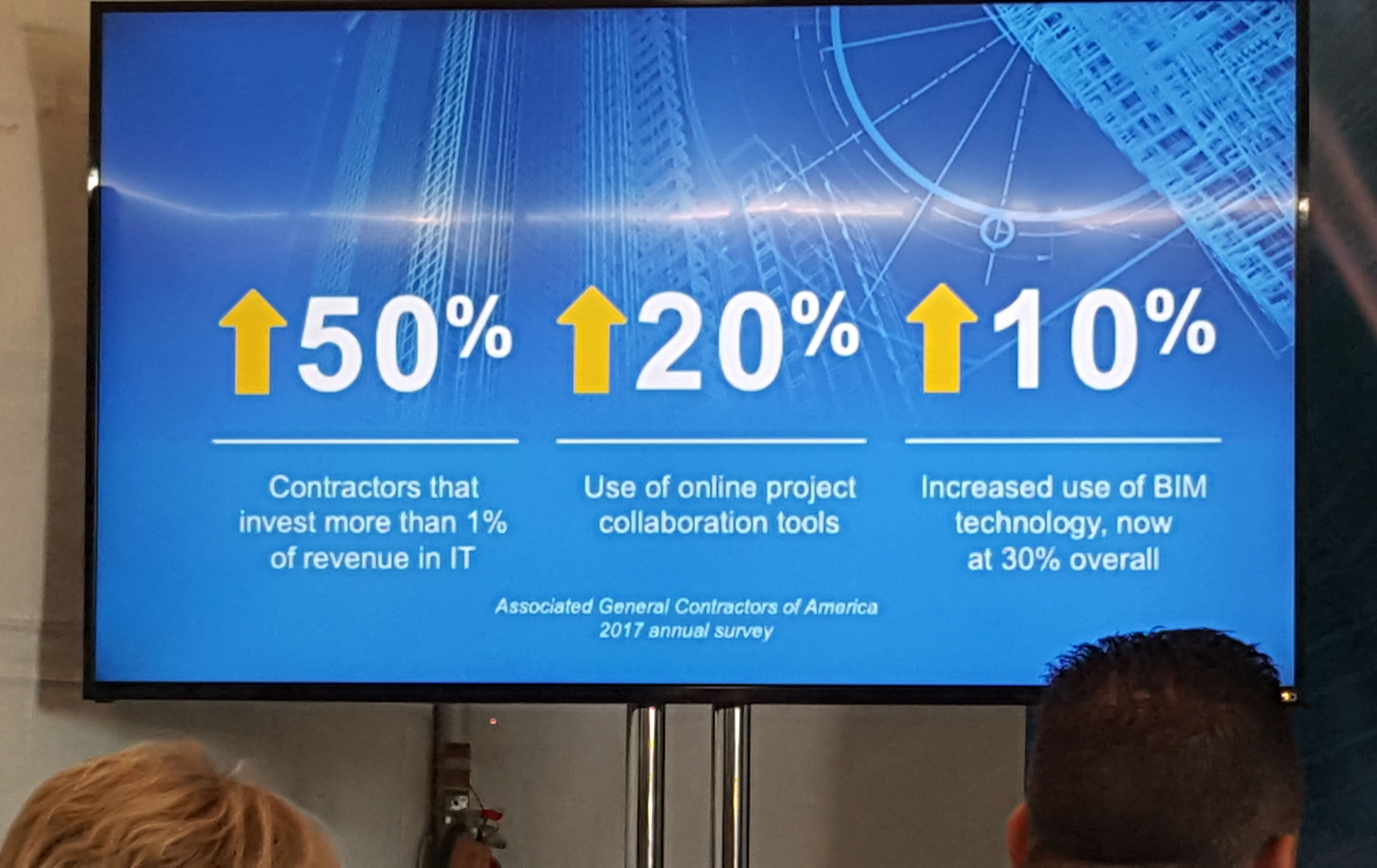
The digital technologies of lasers, GPS, imaging, and software are the modern catalyst of Darwin’s theory of natural selection. The science of measurement has both naturally evolved and advanced all of the industries concerned with control, quality control, and quality assurance. Yes, that includes measuring the earth, moving dirt, sticking pipe, and laying down the tarmac. Our expertise, experience and training put us smack dab in the middle of this fruition. As professionals we are well poised to define emerging services that make and save our contractors money. That’s always been our role in land development & construction and although the tools have evolved, the services are still in demand. So, the gloom and doomers may be a bit remiss in their “sky is falling/surveying is dying” rants at the chapter association meetings. It’s true many dinosaurs drowned in the La Brea tar pits, but it only took one cave person to fall in and say “Hey, let’s mix this oil with some gravel and start paving roads.”
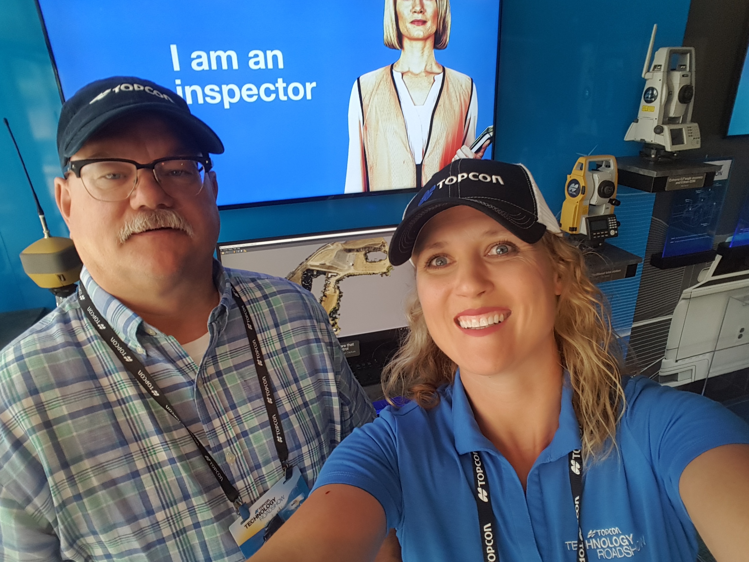
Heidi Oviatt, the Western Survey Regional Sales Manager, walked me through all of the survey goodies including the drones, robotic total stations, and stationary gear.
The key to digital automation is tying all of moving machines together in a common software package. Topcon has developed Elite Survey Suite to meet this challenge. This is battlefield management stuff at its finest! The boots and machines on the ground, and the drones in the air all contribute measurement and positional data in real time to the digital model. Dirt, dust, and data are flying everywhere at the same time. In the old days the contractor would call me when the hoe was getting close and I’d show up with some tool and tell them how far off they were or if they were good or, god forbid, they went too far or off course. This cost me money and time that I had to pass on to the contractor. Now that he can contact me anytime, so I can log into the digital project from my laptop (while I’m over in East Jesus for a zoning hearing) and electronically wave the shovel off as “good” and send her on to the next task. How `bout them apples? Now, how about these apples? The final shovel position can be incorporated into a report. That sure does sound a lot like real time as-built data that I can forward to a design engineer doesn’t it? It also sounds like I can use the heavy equipment’s measuring potential instead of pulling my field crew from something better and shipping them on a babysitting mission. The surveyor is still an integral part of the process we just don’t need the chuck wagon and mules anymore. The business model is evolving from scheduling and billing crews to an automated support contracting opportunity.
Regardless of how a registrant interprets the regulation of construction surveying and mapping, we are uniquely insurable for our services. This gives us a competitive advantage based on our demonstration of proficiency through testing. Thanks NCEES! Contractors rely on this insurability as the foundation of our value. This puts us right in the middle of opportunity. Providing digital control services throughout the entire project is realized through Topcon’s Elite Survey Suite. The role of a surveyor has flopped overnight from “a necessary evil” and extra cost to “necessary” and a cost saver. Psssst, just a hint, that’s what wins in a service-based industry.
 A large opportunity lies within assuming a full contract roll that begins with initial mapping and ends with as-constructed drawings. Sounds like the same old same old, right? Well it is. The difference is that you provide mapping services with a drone in a few hours instead of hiring your nephew, several of his buddies, and the contractor’s brother-in-law to chop line and pull a chain for a whole summer. Now, those days are long gone, and as we all know Topcon has provided that component of automation for decades. Gosh, I mean when did the Topcon Guppy total station come out? I think Carter was still President? Needless to say drones have become the mass mapping tool of our time. They are extremely effective for creating and updating digital models. Topcon offers both the fixed wing Sirius Pro and the rotary Falcon 8 series. This is where it all starts for us and where the initial or existing model is built. Of course the Elite Surveyor Suite is the ultimate data management tool with both Topcon drones.
Today, the current line of total stations, robots, digital levels, and rotaries continue to set the standard for conventional automation. Check out the LN-100 Layout Navigator. It’s a short range (300 foot) layout robot intended for folks that aren’t really surveyors but know how to read a set of plans. It’s powered and connected to the digital model through, you guessed it, Elite Survey Suite. The real time layout by the tradesman can be monitored and QC’ed remotely by the surveyor. The data can be delivered to the collaborative digital model with confidence through the surveyor in responsible charge of data delivery. It’s just a quicker and cheaper way of delivering as-built data to design professionals. Once again, my nephew’s buddies might have to rely on plasma donations for beer money…or better yet focus on their studies. Yeah, I like that answer.
Another difference is the opportunity to become the project data manager rather than just a data contributor. Collaborating designers may require additional mapping and measurement as the project scope evolves and decisions are made. Hosting and controlling the data set promotes efficient delivery as those changes emerge. Topcon’s Elite Survey Suite software monitors each machine in real time. The Surveyor could in turn provide the contractor with real time QA/QC monitoring services from his desktop. This QA/QC service may be invaluable to a contractor in catching problems and mitigating problems before they get out of hand. It doesn’t take much to see that this technology also could identify conformance with the digital plans or completed tasks for pay requests. That, by the way, seems like a very handy service to offer a project manager. Elite Survey Suite coupled with the automated machines on site provides a powerful opportunity to monitor conformance from the desktop. Coupling the data observed by the machines and integrating a final drone topo, robotic imaging, and pavement scanning produce one heck of a data set for the digital surveyor to compile as-built data and conformance measurements for the engineers to create final as-built drawings.
We are in an age of opportunity that was “the far off future” just a few decades ago. Topcon is providing a complete project solution through the culmination of several decades of technological advances and the integration of modern digital technologies with software, connectivity, and motorized machines. The surveyor is the one professional that can embrace this opportunity and step up to be the innovator and preferred provider for construction data management services. That’s nothing new or scary to us!